Where in the World Shall We Begin?
Hover a highlighted country to see how many pieces we hold; click to filter the collection below. Faded lands await their first acquisition.
A Glimpse of the Collection
Click any country on the map above, or a region below, to filter the pieces to just that part of the world.
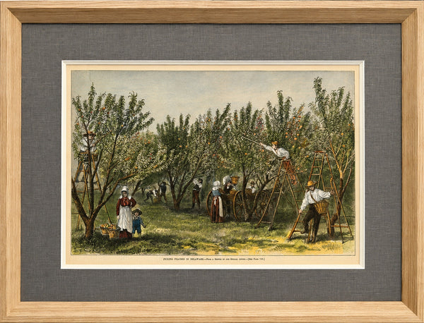
Peach Picking, Delaware Orchard - Hand-Colored Original Print, Framed (Dated 1878)
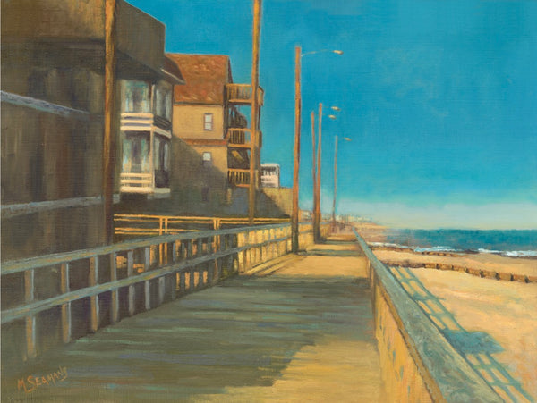
Bethany Beach Boardwalk by Martha Seamans (16 x 20")
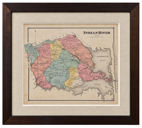
Original Map of Indian River Hundred, Sussex County, Delaware | Pomeroy & Beers, 1868 | Custom Framed

Maryland and Virginia Fenwick Island Light to Chincoteague Inlet - 1944 Nautical Map - Custom framed
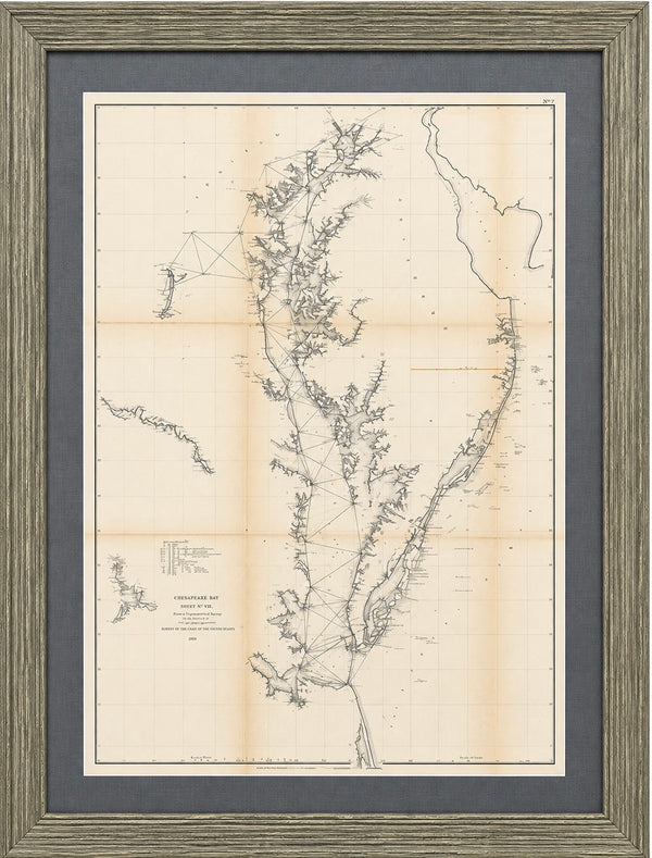
1856 U.S. Coast Survey Map of Chesapeake Bay & Delaware Bay – A.D. Bache Antique Nautical Chart
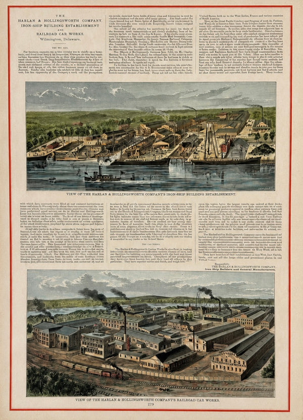
Harlan & Hollingsworth Shipbuilding & Railroad, Wilmington Riverfront Delaware – Antique Steel Engraving, 1890
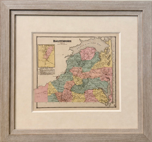
Original Baltimore Hundred Sussex County Delaware Map | Bethany & Rehoboth Beach | Beers & Pomeroy, 1868 | Custom Framed
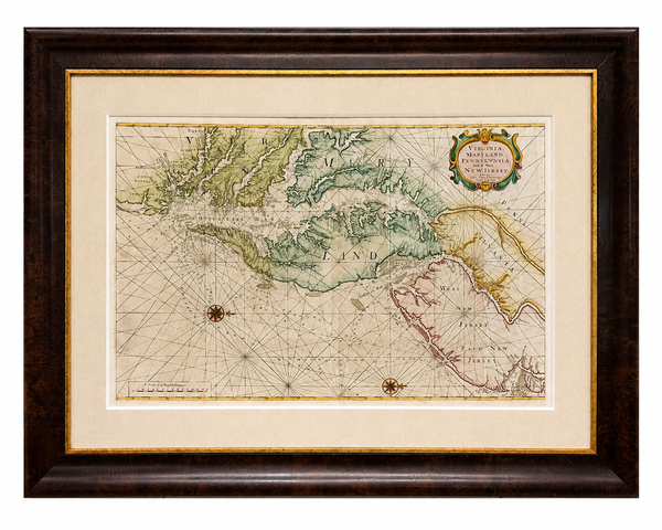
1773 Chesapeake & Delaware Bay Sea Chart Map – Revolutionary War Era by Mount & Page (Second State)
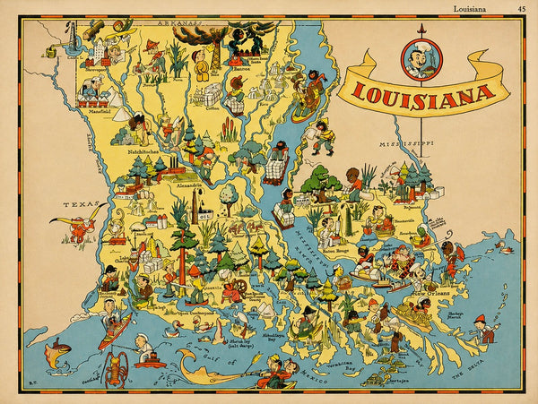
Vintage Louisiana & Gulf Coast Pictorial Map by Taylor, 1935 – Original Map
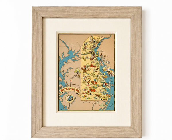
Vintage Delaware Pictorial Map by Taylor, 1935 – Original Custom Framed Map
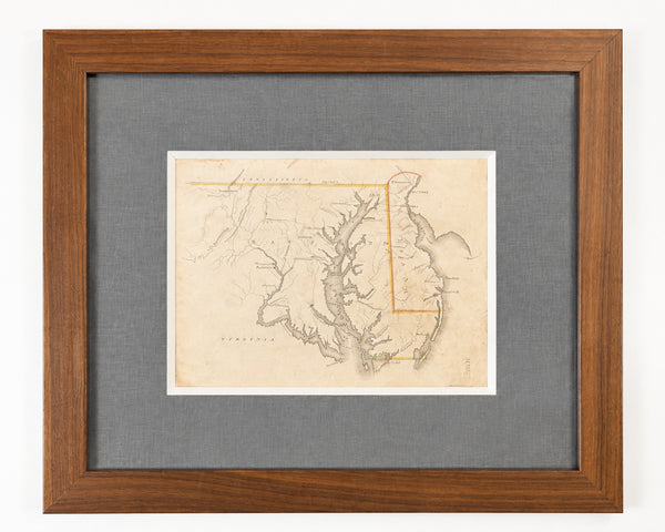
Delaware & Maryland Map by Luke Drury, 1822
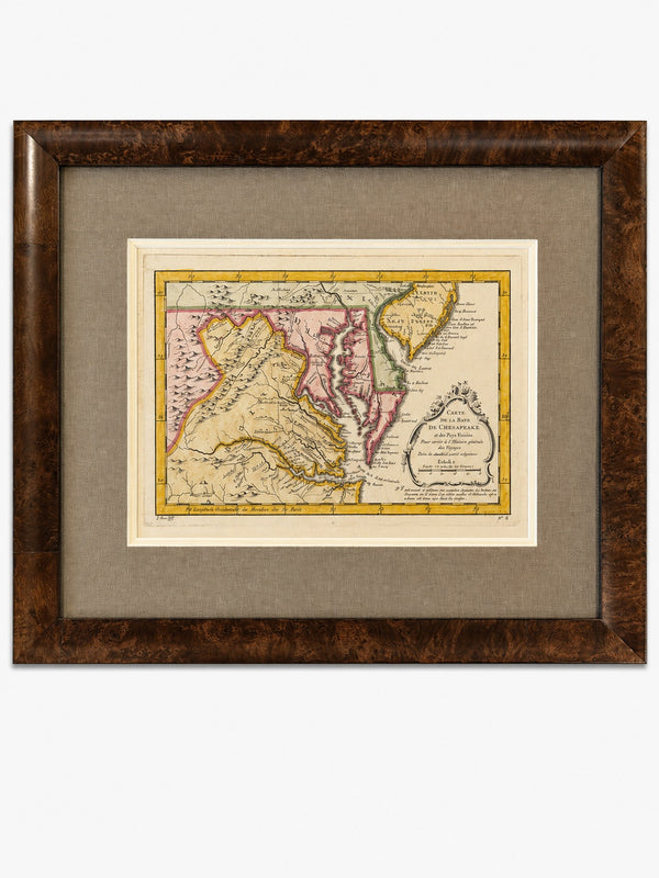
Original 1757 Hand-Colored Chesapeake Bay Map by Jacques-Nicolas Bellin | Copper Engraving | Custom Framed
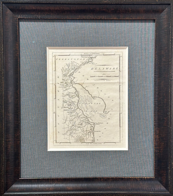
Map of Delaware by Matthew Carey, 1805
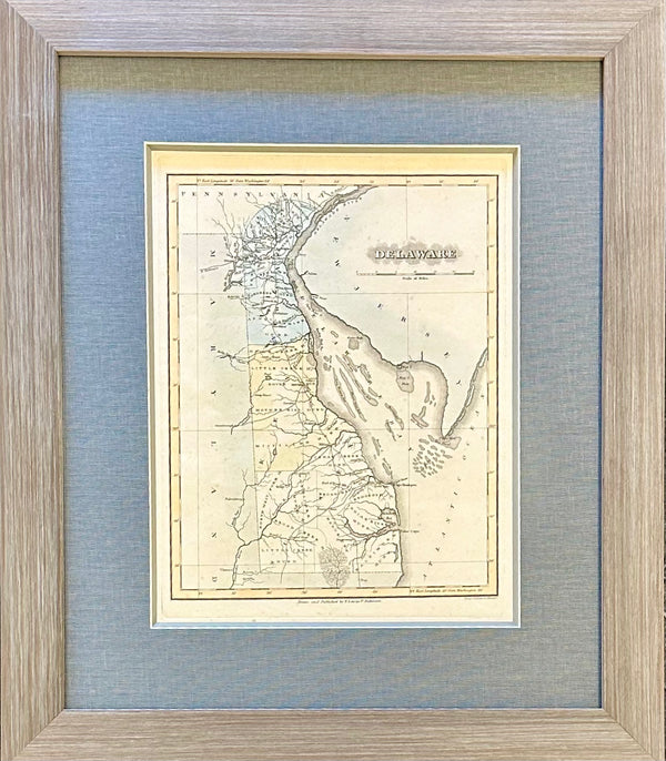
Delaware by Fielding Lucas, 1823
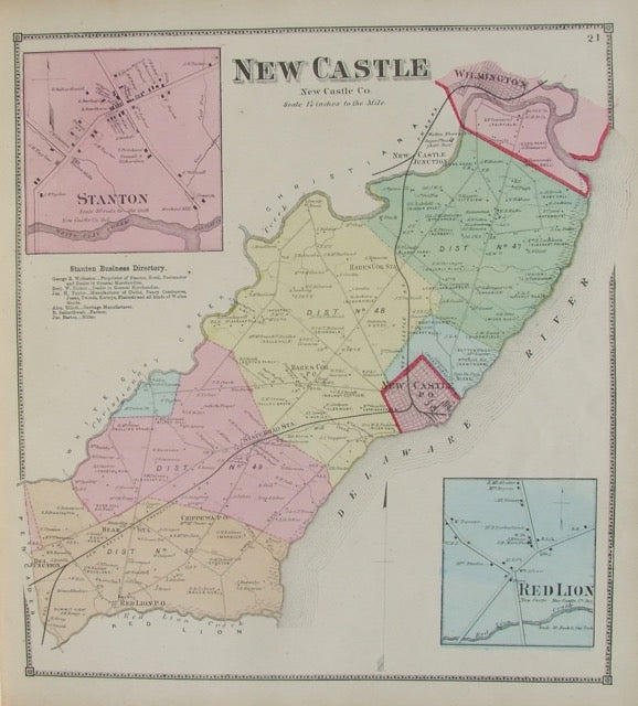
New Castle
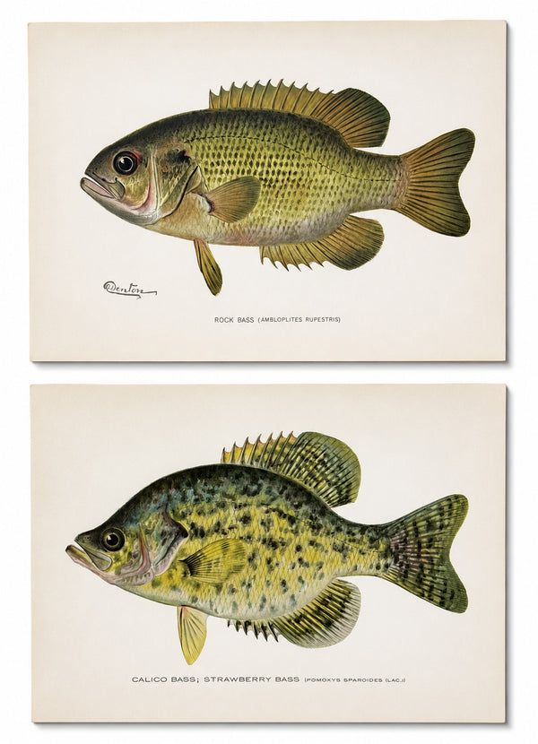
Rock & Calico Bass by Denton, Circa 1903 (S/2)
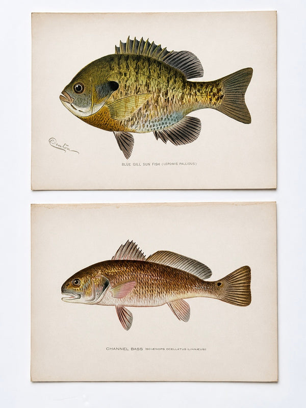
Blue Gill Sunfish & Chanel Bass by Denton, Circa 1903 (S/2)
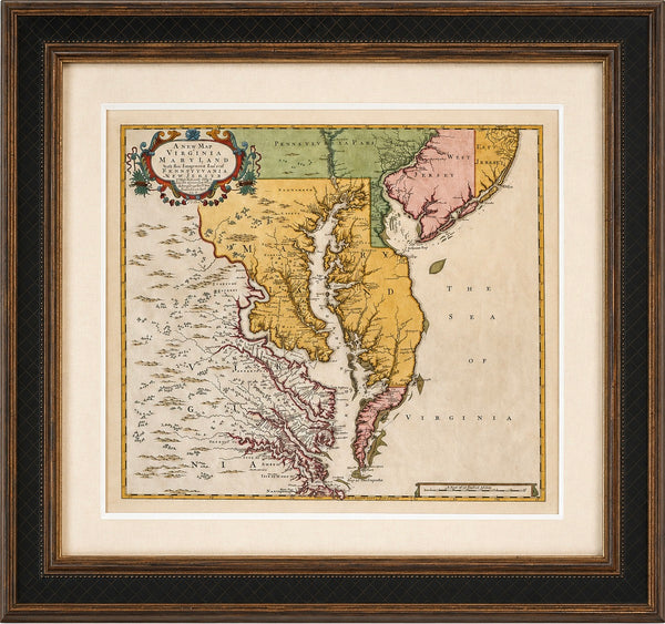
Chesapeake Bay: Virginia, Maryland, Pennsylvania & New Jersey Original Map by Senex, 1721
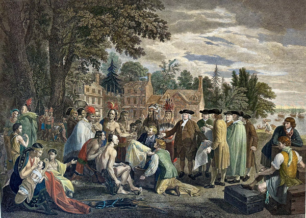
William Penn's Treaty with the Indians — Original Hand-Colored Engraving by Hall, circa 1771
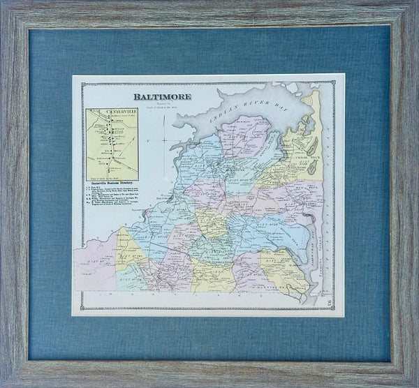
Baltimore Hundred Sussex County Delaware Map | Bethany & Rehoboth Beach | Reproduction from Beers & Pomeroy | Custom Framed
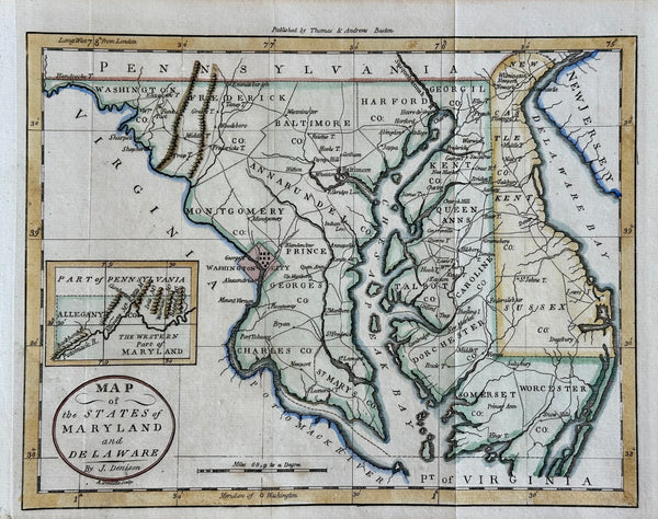
Maryland & Delaware Map by Morse, circa 1796
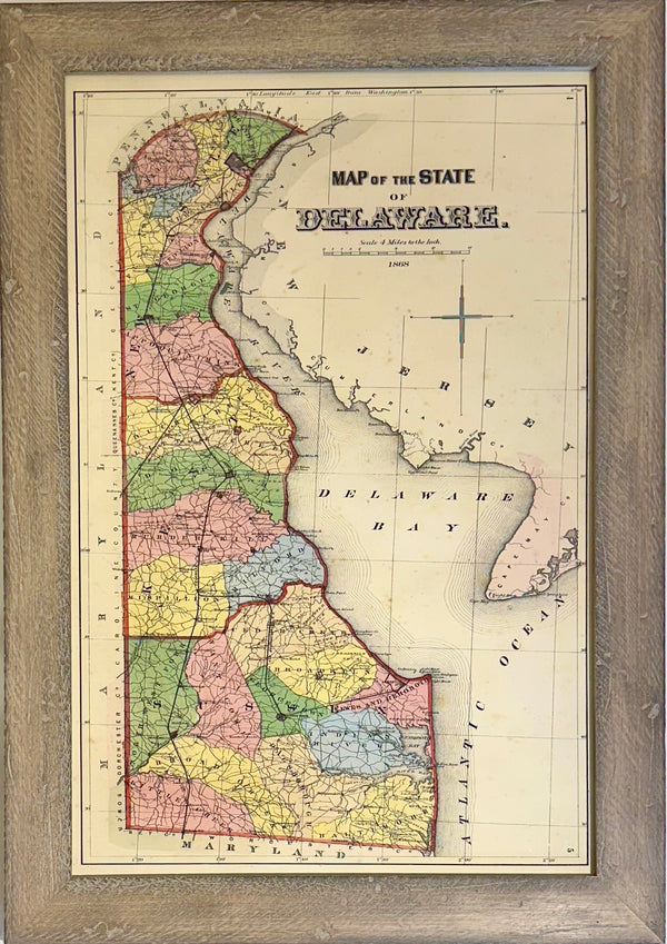
Delaware, after Beers & Pomeroy (framed)
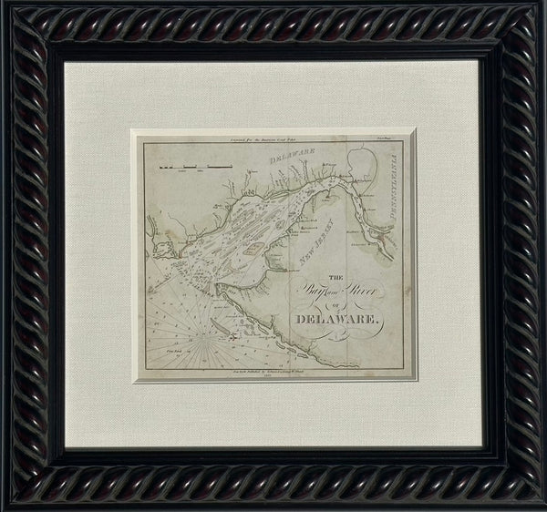
Coastal Chart: Bay & River of Delaware by Edmund Blunt, 1833 (framed)
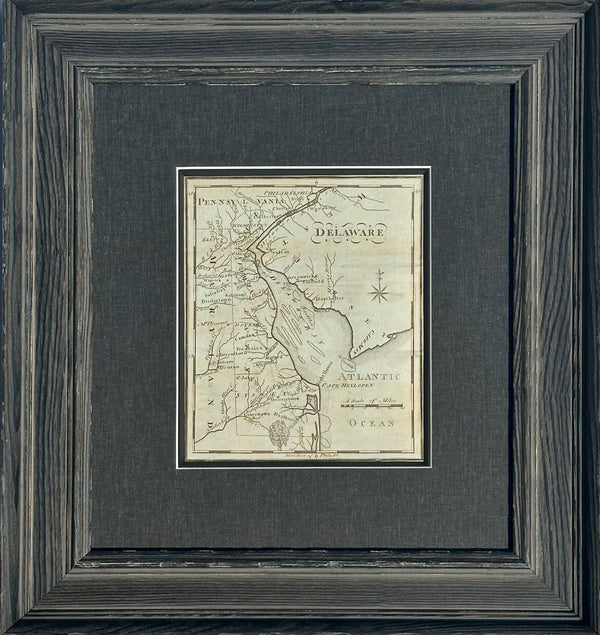
Map of Delaware by Matthew Carey, 1805 (framed)
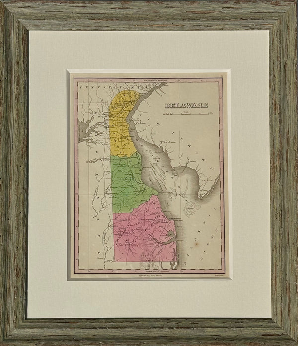
Map of Delaware by Anthony Finley, 1824 (framed)
Bethany Beach Boardwalk by Martha Seamans (22 x 36")
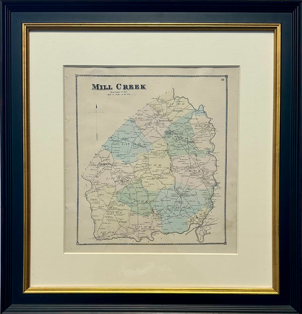
Mill Creek Hundred, Delaware (Mid 19th Century Original Framed Engraving)
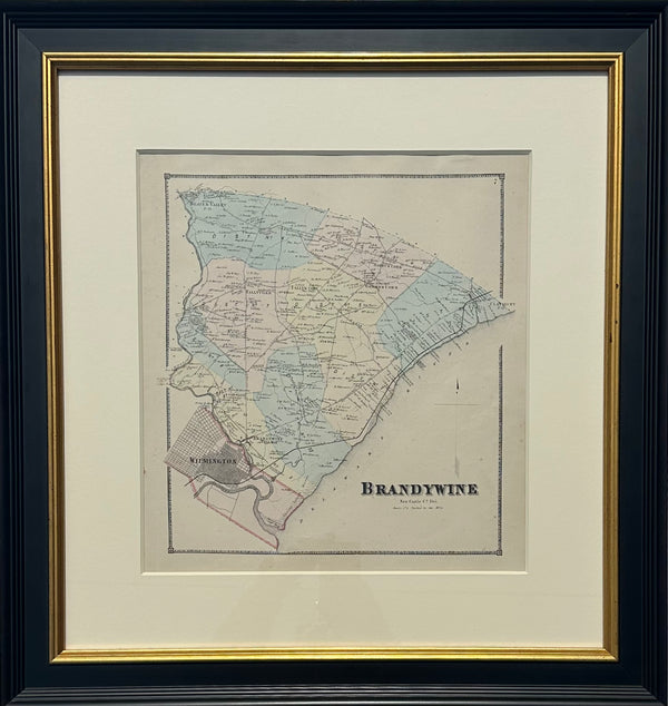
Brandywine Hundred, Delaware (Original framed engraving, 1868)
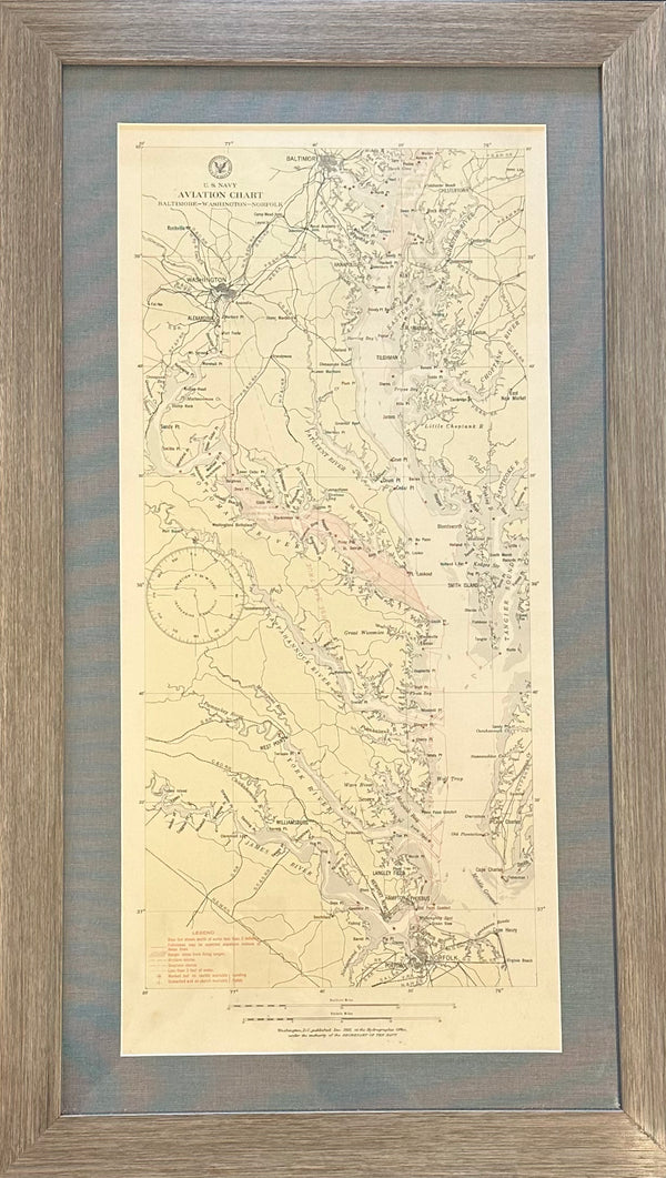
Baltimore, Washington, Norfolk Aviation Chart of Chesapeake, 1925 (Framed)
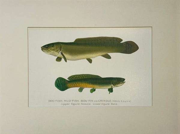
Dogfish Male & Female by Denton, Circa 1903
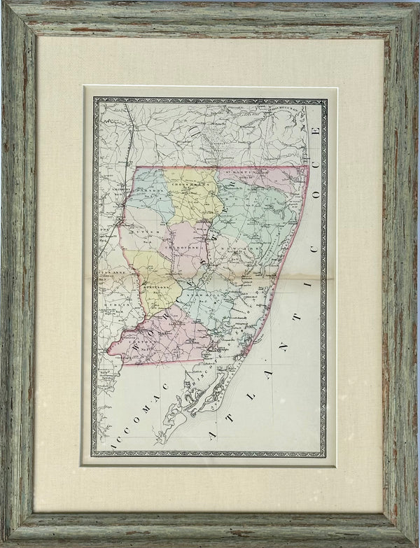
Map of Worcester County, Maryland (Berlin, Assateague, Isle of Wight), 1873
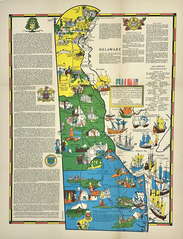
Pictorial Map of Delaware, 1937
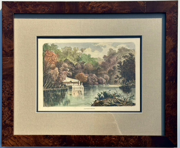
Powder Mills on Brandywine, 1871
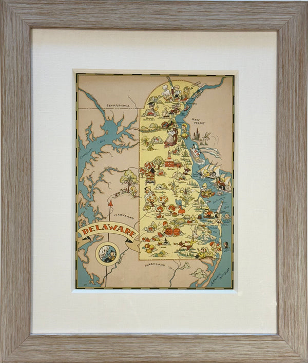
Vintage Delaware Map, 1935, framed
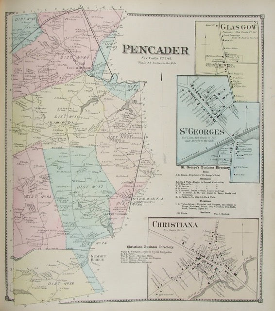
Pencader
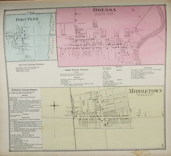
Odessa / Port Penn / Middletown
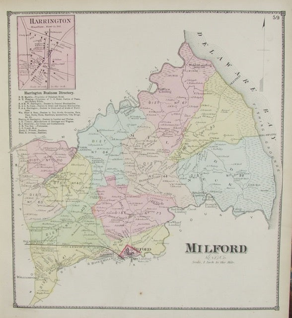
Milford
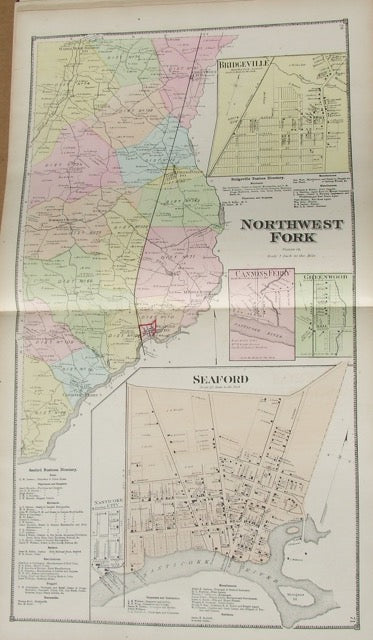
Northwest Fork (Seaford inset)
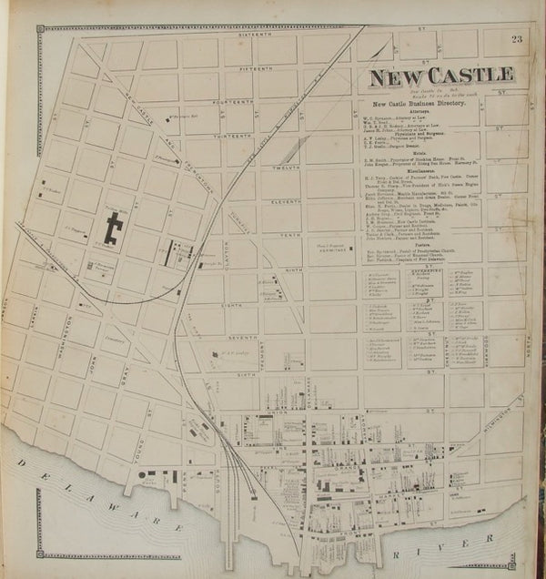
New Castle Street Map
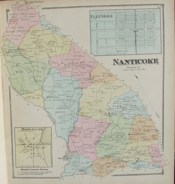
Nanticoke
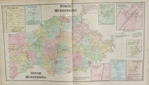
Murderkill
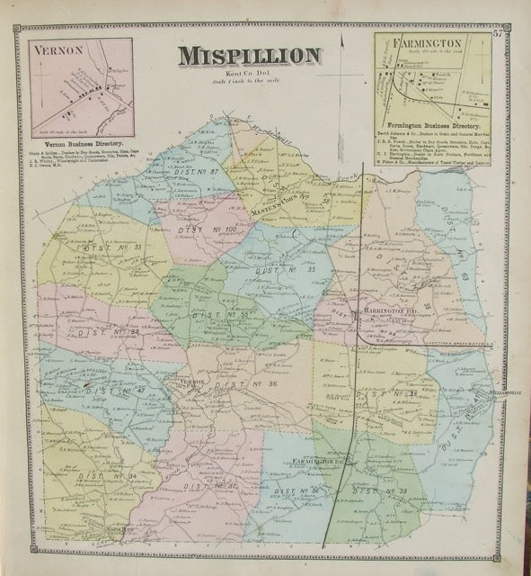
Mispillion
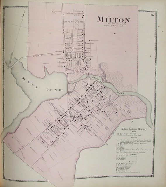
Milton
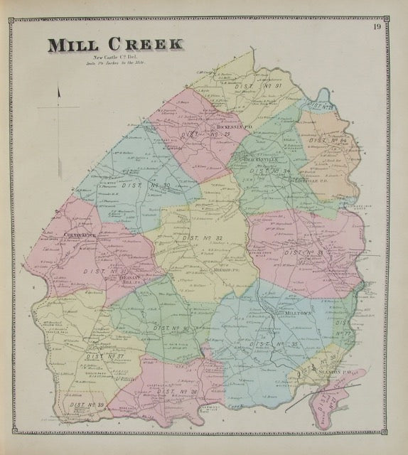
Mill Creek
Peach Picking, Delaware Orchard - Hand-Colored Original Print, Framed (Dated 1878)
Bethany Beach Boardwalk by Martha Seamans (16 x 20")
Original Map of Indian River Hundred, Sussex County, Delaware | Pomeroy & Beers, 1868 | Custom Framed
Maryland and Virginia Fenwick Island Light to Chincoteague Inlet - 1944 Nautical Map - Custom framed
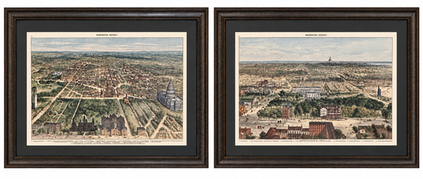
Washington, D.C. and U.S. Capitol from Harper’s Weekly by Theodore R. Davis, 1882 (pair)
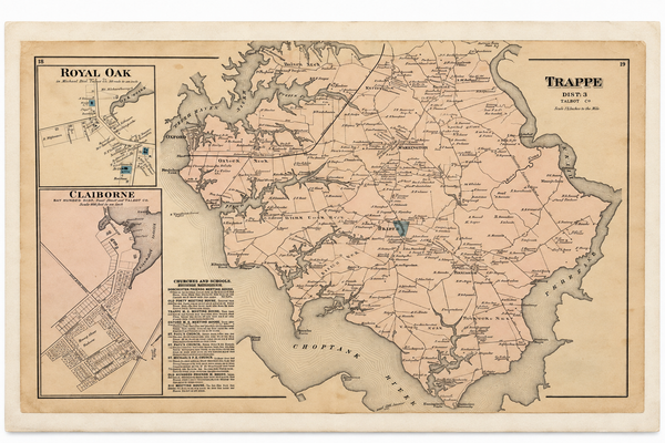
Map of Trappe & Royal Oak, Talbot County, Maryland — Lake, Griffing & Stevenson, 1877
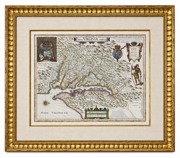
Historic Virginia & Chesapeake Bay Map by Willem Blaeu 1635 (custom framed, gold-leaf)
1856 U.S. Coast Survey Map of Chesapeake Bay & Delaware Bay – A.D. Bache Antique Nautical Chart
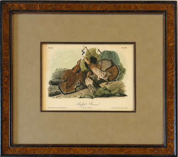
Ruffed Grouse Original Antique Bird Print by John James Audubon, Framed in Burl Wood
Harlan & Hollingsworth Shipbuilding & Railroad, Wilmington Riverfront Delaware – Antique Steel Engraving, 1890
Original Baltimore Hundred Sussex County Delaware Map | Bethany & Rehoboth Beach | Beers & Pomeroy, 1868 | Custom Framed
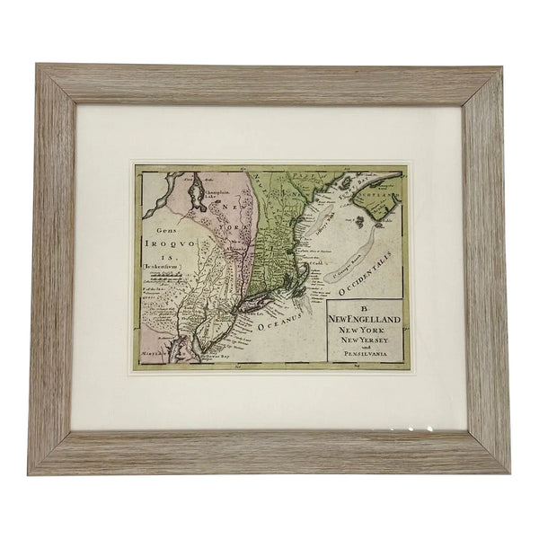
1757 Map of New England, New York & New Jersey, Homman Heirs
1773 Chesapeake & Delaware Bay Sea Chart Map – Revolutionary War Era by Mount & Page (Second State)
Vintage Louisiana & Gulf Coast Pictorial Map by Taylor, 1935 – Original Map
Vintage Delaware Pictorial Map by Taylor, 1935 – Original Custom Framed Map
Delaware & Maryland Map by Luke Drury, 1822
Original 1757 Hand-Colored Chesapeake Bay Map by Jacques-Nicolas Bellin | Copper Engraving | Custom Framed
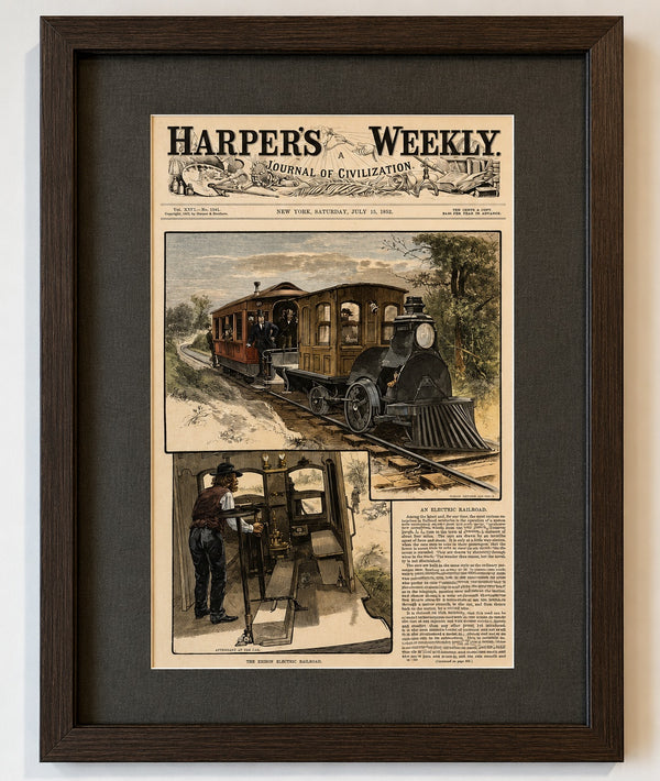
Thomas Edison & the First Electric Railroad – Menlo Park, New Jersey, Harper's Weekly, 1882

Quantico, Maryland
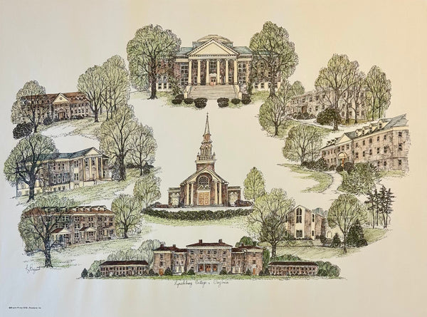
Lynchburg College Virginia Campus Print by Liz Bryant – Hand-Colored Architectural Illustration, 24” x 18”
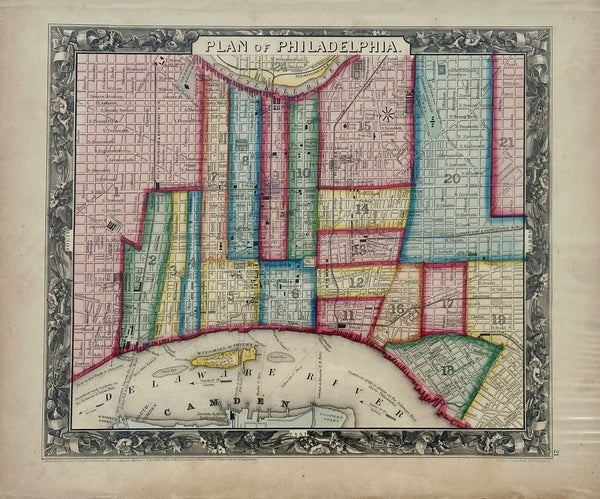
Philadelphia by Samuel A. Mitchell, 1860
Map of Delaware by Matthew Carey, 1805
Delaware by Fielding Lucas, 1823
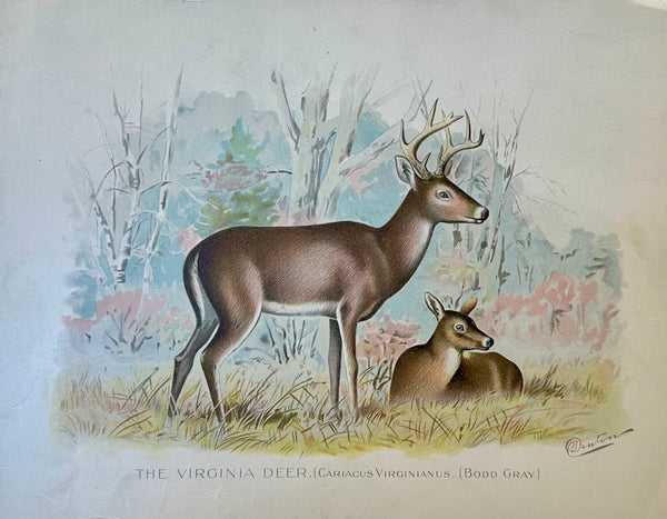
Virginia Deer by Denton, 1901
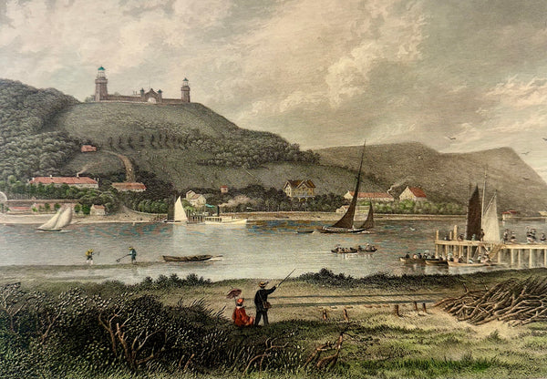
Highlands of Neversink & Twin Lights (Navesink, NJ), 1872
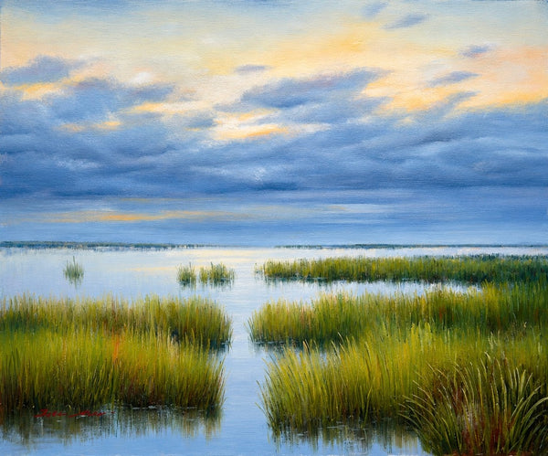
Original Coastal Marsh Oil Painting, 20 x 24 Unstretched Canvas by Eric Son
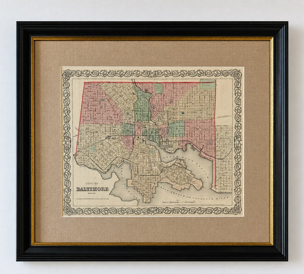
Antique Baltimore, Maryland City Map | Hand-Colored Engraving | Custom Framed
Rock & Calico Bass by Denton, Circa 1903 (S/2)
Blue Gill Sunfish & Chanel Bass by Denton, Circa 1903 (S/2)
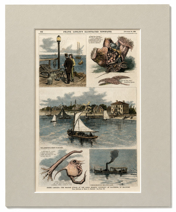
North Carolina—The Seaside School of the Johns Hopkins University of Baltimore, at Beaufort
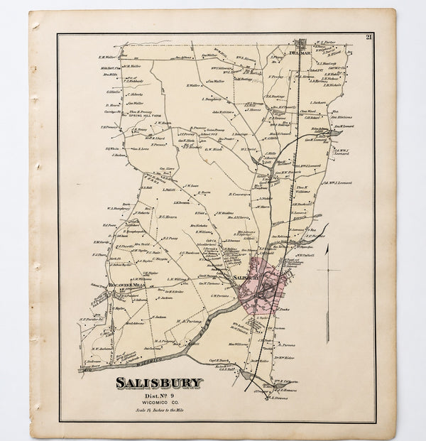
Salisbury, Maryland & Rocawakin Mills, 1877
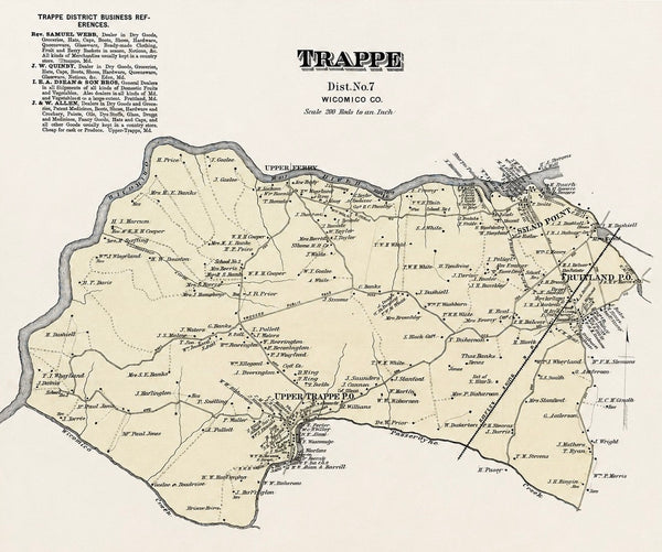
Trappe: Upper Ferry, Shad Point, and Fruitland in Wicomico County, Maryland, 1877
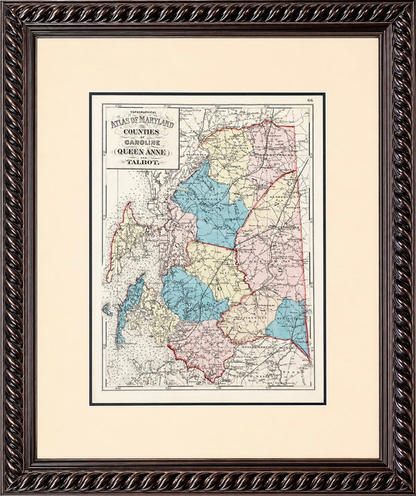
Talbot, Queen Anne & Caroline | Original 1873 Maryland Counties Map – Stedman & Brown
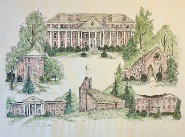
Roanoke College, Salem Virginia Campus Print by Liz Bryant – Hand-Colored Architectural Illustration, 24” x 18”
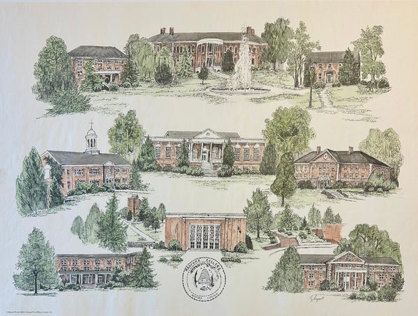
Radford University Virginia Campus Print by Liz Bryant – Hand-Colored Architectural Illustration, 24” x 18”
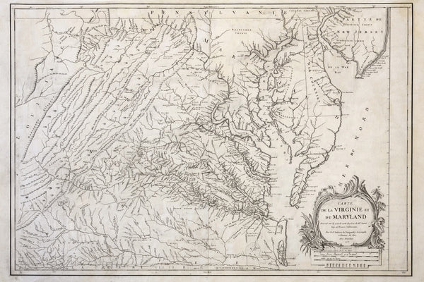
1755 Fry & Jefferson Map of Virginia and Maryland — “Carte de la Virginie et du Maryland” (Thomas Jefferson’s Father as Surveyor)
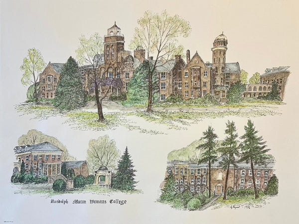
Randolph-Macon College Virginia Campus Print by Liz Bryant – Hand-Colored Architectural Illustration, 24” x 18”
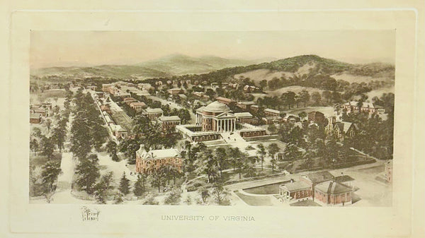
University of Virginia (UVA), Charlottesville After Richard Rummell, c.1913 — Hand-Colored Print
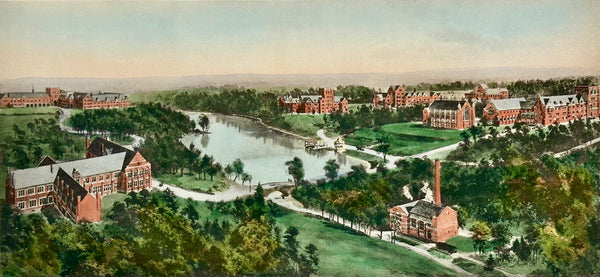
Richmond College After Richard Rummell, c.1913 — Hand-Colored Print
Chesapeake Bay: Virginia, Maryland, Pennsylvania & New Jersey Original Map by Senex, 1721
William Penn's Treaty with the Indians — Original Hand-Colored Engraving by Hall, circa 1771
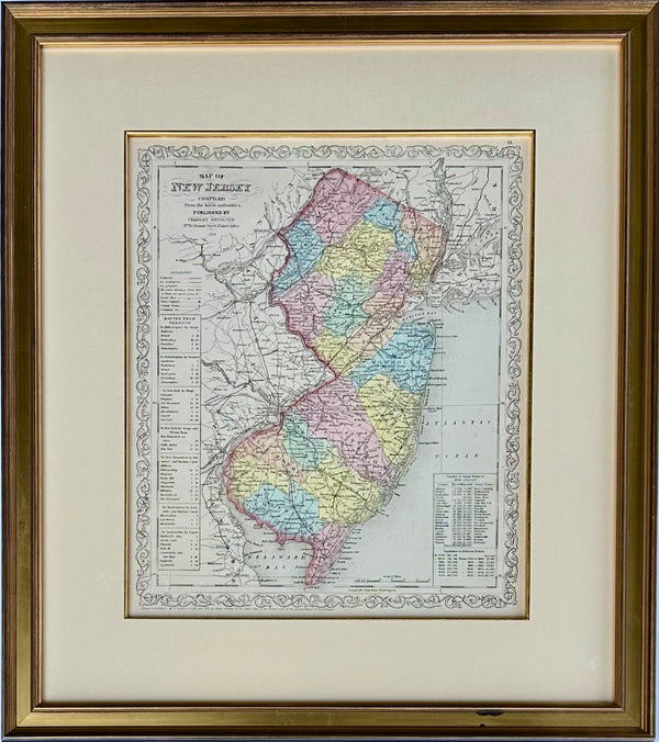
Map of New Jersey by Charles Desilver, 1859 (Framed)
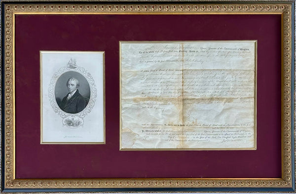
James Monroe Signed Virginia Governor Land Grant Document Autograph, c.1800 — Rockingham County
Baltimore Hundred Sussex County Delaware Map | Bethany & Rehoboth Beach | Reproduction from Beers & Pomeroy | Custom Framed
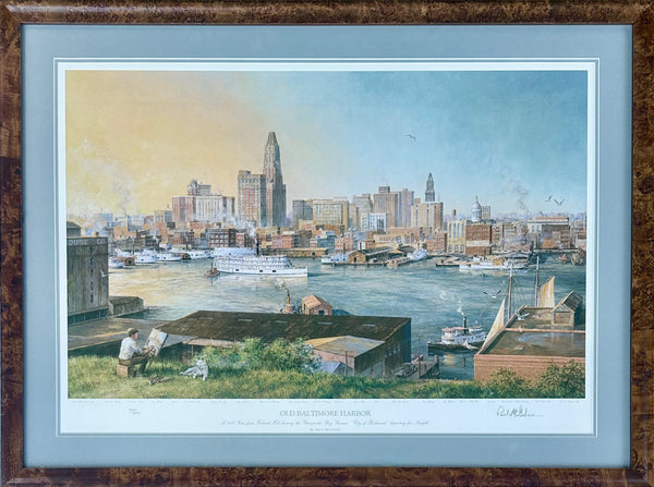
Baltimore Harbor from Federal Hill, Framed Limited Edition Print – Signed Paul McGehee
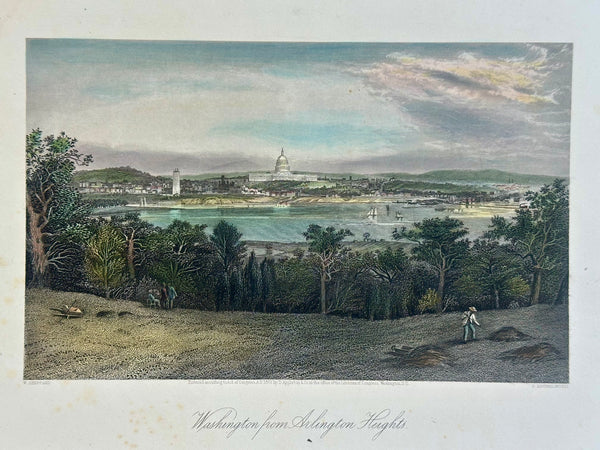
Washington From Arlington Heights, Original Print, 1872
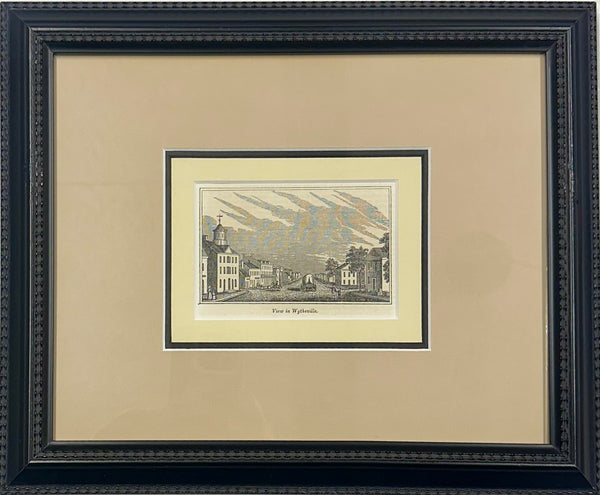
Wytheville, Virginia Original print, 1855 (framed)
Maryland & Delaware Map by Morse, circa 1796
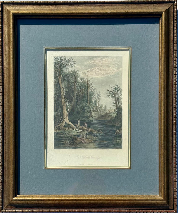
Chicahominy, Virginia Original framed print, 1872
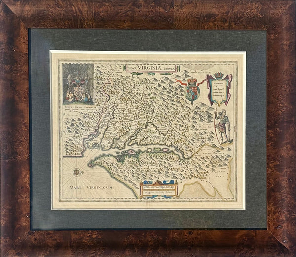
Virginia & Chesapeake Bay Map from Capt. John Smith By Willem Blaeu, 1618
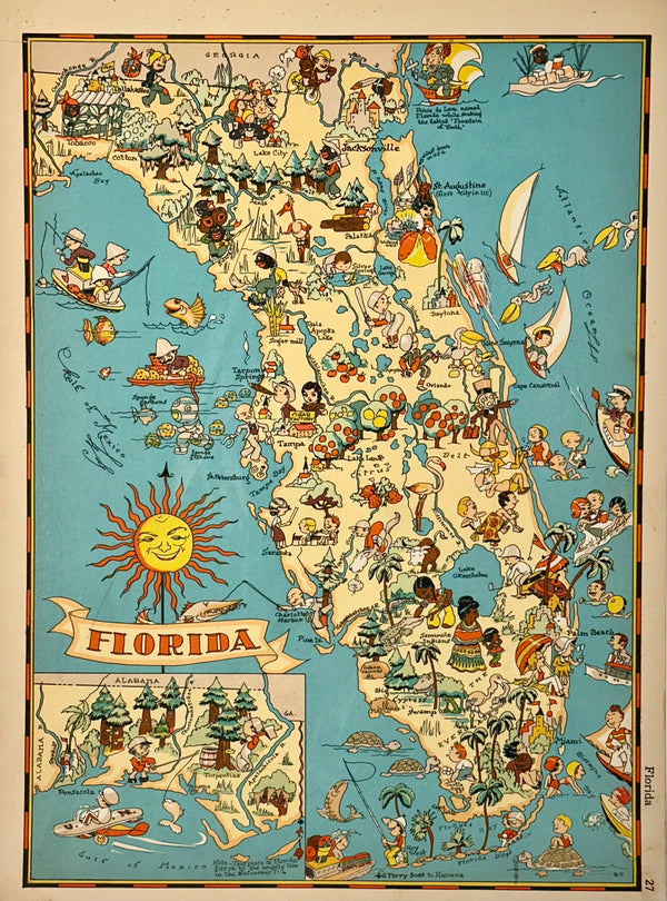
Vintage Map of Florida, 1935
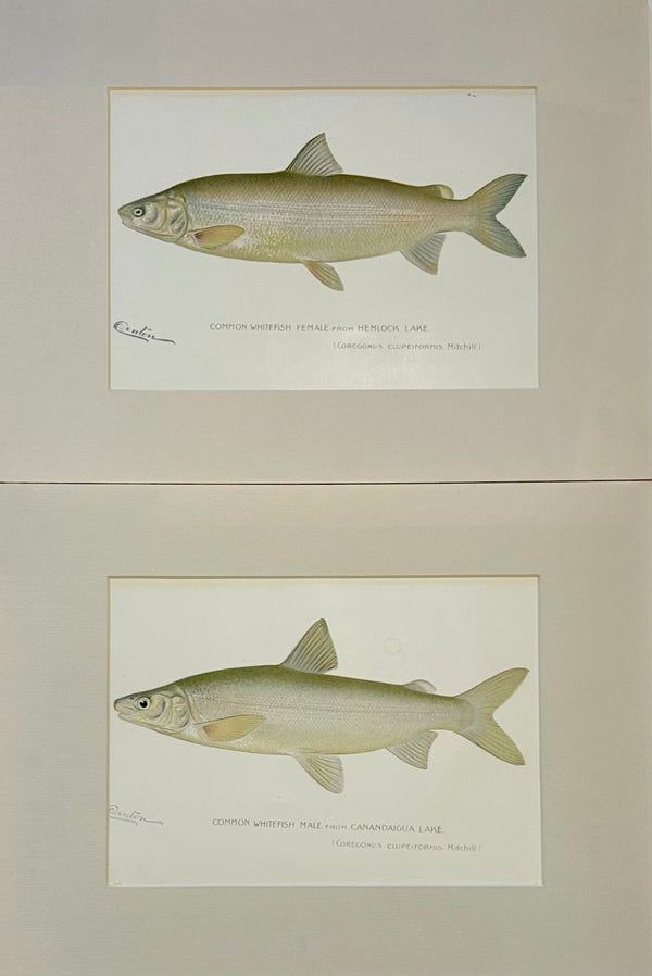
Whitefish Male & Female Pair, 1903
Peach Picking, Delaware Orchard - Hand-Colored Original Print, Framed (Dated 1878)
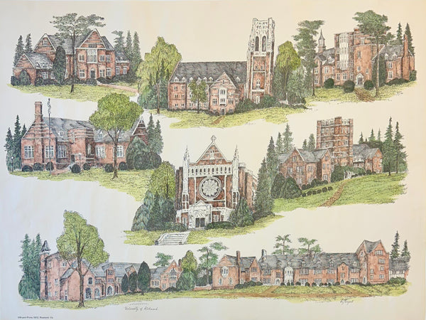
University of Richmond Print by Liz Bryant
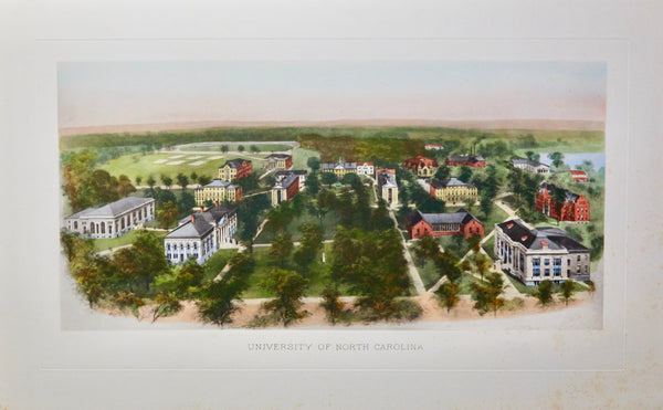
University of North Carolina (Chapel Hill), Early 20th Century Print
Bethany Beach Boardwalk by Martha Seamans (16 x 20")
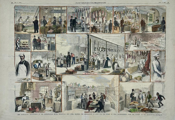
Restaurant Scenes: Metropolitan Hotel & Fulton Market New York, 1860
Original Map of Indian River Hundred, Sussex County, Delaware | Pomeroy & Beers, 1868 | Custom Framed
Maryland and Virginia Fenwick Island Light to Chincoteague Inlet - 1944 Nautical Map - Custom framed
Washington, D.C. and U.S. Capitol from Harper’s Weekly by Theodore R. Davis, 1882 (pair)
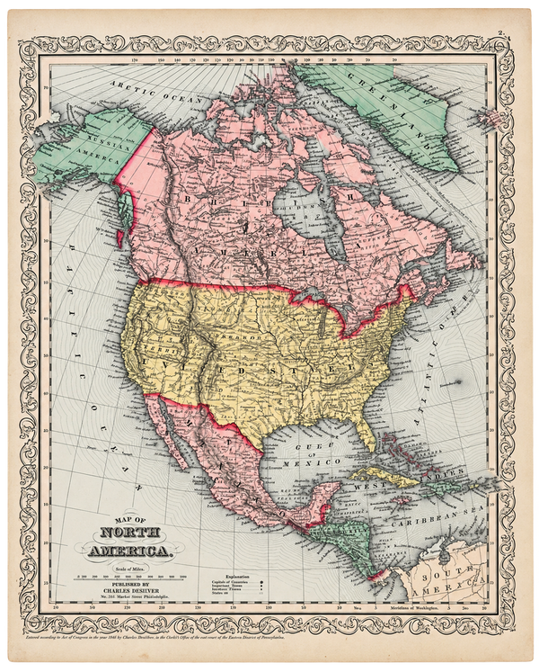
North America Map by Charles DeSilver, 1858
Map of Trappe & Royal Oak, Talbot County, Maryland — Lake, Griffing & Stevenson, 1877
Historic Virginia & Chesapeake Bay Map by Willem Blaeu 1635 (custom framed, gold-leaf)
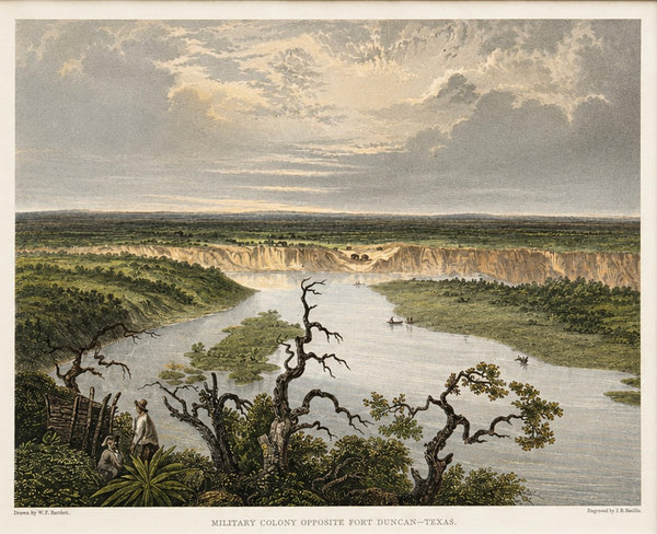
Fort Duncan & Eagle Pass Texas Original Steel Engraving, J.B. Smillie, c. 1860
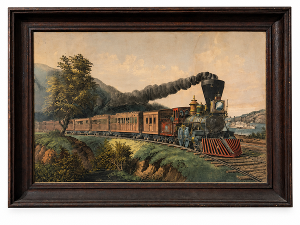
“American Express Train” Lithograph from Currier & Ives After Fanny Palmer, Framed – 33" x 23"
1856 U.S. Coast Survey Map of Chesapeake Bay & Delaware Bay – A.D. Bache Antique Nautical Chart
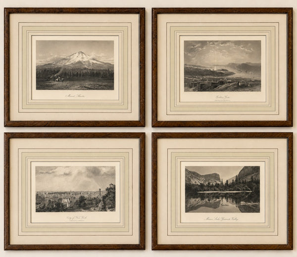
Set of 4 American Landscape Prints – New York, California & Yosemite, Framed (Picturesque America, 1872)
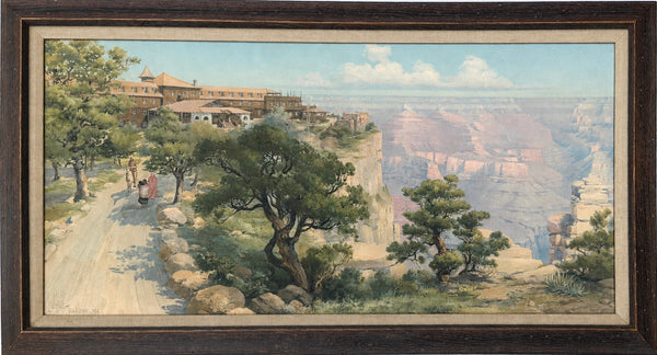
Grand Canyon with El Tovar Hotel by Louis Akin, 1906 – Framed Chromolithograph
Harlan & Hollingsworth Shipbuilding & Railroad, Wilmington Riverfront Delaware – Antique Steel Engraving, 1890
Original Baltimore Hundred Sussex County Delaware Map | Bethany & Rehoboth Beach | Beers & Pomeroy, 1868 | Custom Framed
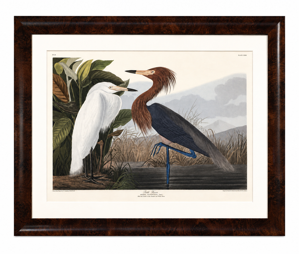
Purple Heron Adult & Young – White & Dark Plumage Audubon Bird Print – Princeton Limited Edition 1261/1500 – Framed 37 x 47" – Princeton Audubon Limited Edition After John James Audubon
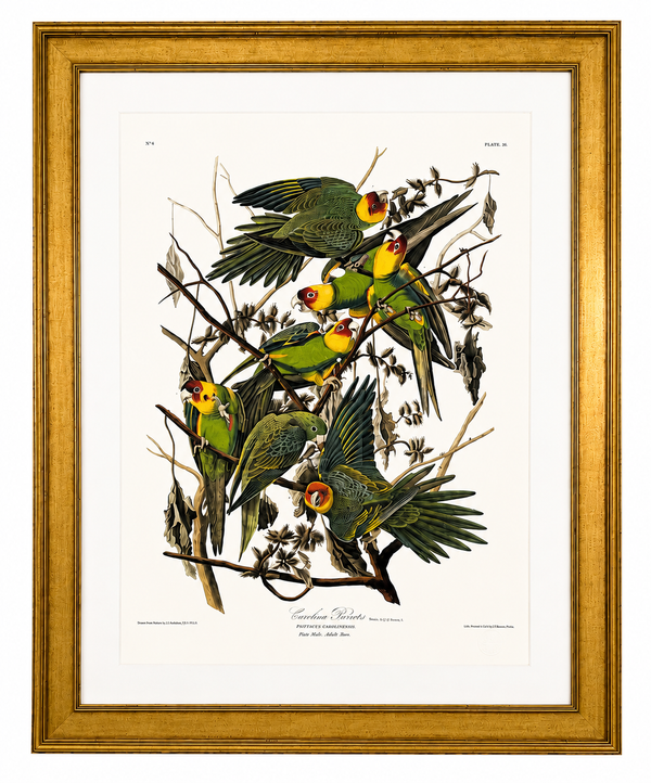
Carolina Parrots Parakeets – Princeton Audubon Limited Edition After John James Audubon – Large Framed Print
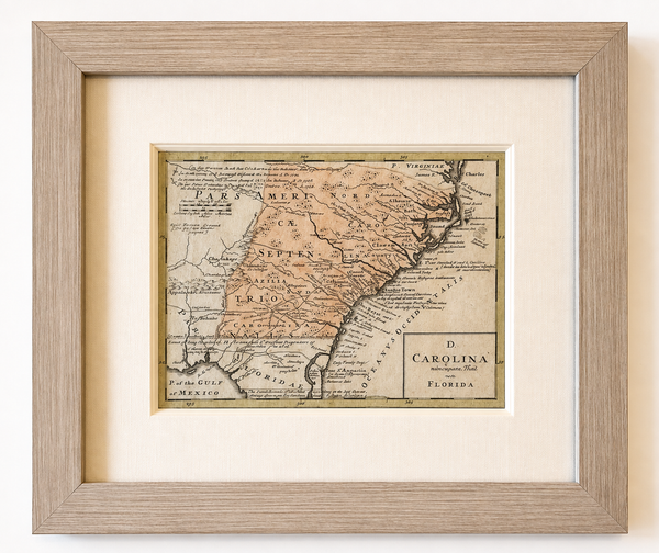
1757 Map of North & South Carolina, Georgia, and Florida, by Homman Heirs
1757 Map of New England, New York & New Jersey, Homman Heirs
1773 Chesapeake & Delaware Bay Sea Chart Map – Revolutionary War Era by Mount & Page (Second State)
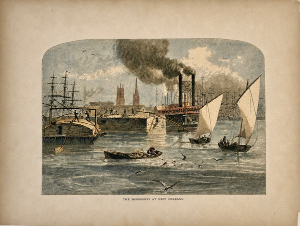
Mississippi River at New Orleans Original Wood Engraving from Picturesque America, 1872
Vintage Louisiana & Gulf Coast Pictorial Map by Taylor, 1935 – Original Map
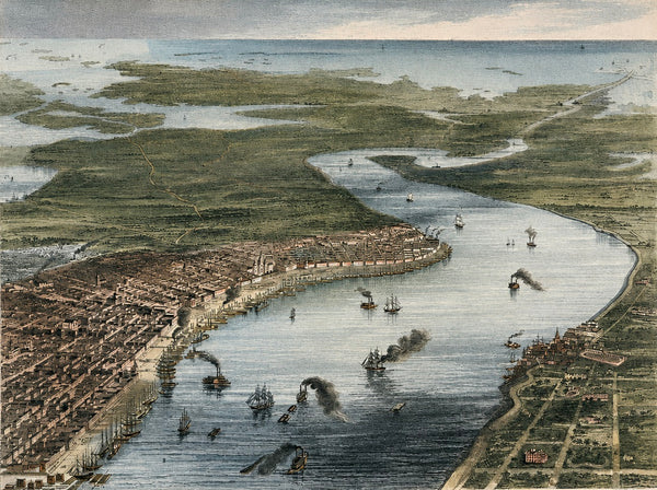
New Orleans, Louisiana and Vicinity Original Steel Engraving, By Ridgway, 1863
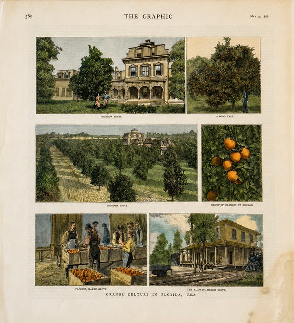
1886 Orange Culture in Florida (Bigelow) Print | Original Hand-Colored The Graphic Antique Engraving
Vintage Delaware Pictorial Map by Taylor, 1935 – Original Custom Framed Map
Delaware & Maryland Map by Luke Drury, 1822
Original 1757 Hand-Colored Chesapeake Bay Map by Jacques-Nicolas Bellin | Copper Engraving | Custom Framed
Antique Baltimore, Maryland City Map | Hand-Colored Engraving | Custom Framed
Rock & Calico Bass by Denton, Circa 1903 (S/2)
Blue Gill Sunfish & Chanel Bass by Denton, Circa 1903 (S/2)
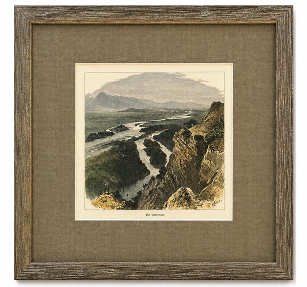
Yellowstone, Wyoming Original Landscape Framed Print, 1872
Salisbury, Maryland & Rocawakin Mills, 1877
Trappe: Upper Ferry, Shad Point, and Fruitland in Wicomico County, Maryland, 1877
Talbot, Queen Anne & Caroline | Original 1873 Maryland Counties Map – Stedman & Brown
Roanoke College, Salem Virginia Campus Print by Liz Bryant – Hand-Colored Architectural Illustration, 24” x 18”
Radford University Virginia Campus Print by Liz Bryant – Hand-Colored Architectural Illustration, 24” x 18”
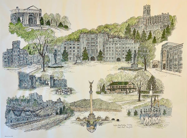
U.S. Military Academy West Point Campus Print by Liz Bryant – Hand-Colored Architectural Illustration, 24” X 18”
1755 Fry & Jefferson Map of Virginia and Maryland — “Carte de la Virginie et du Maryland” (Thomas Jefferson’s Father as Surveyor)
Randolph-Macon College Virginia Campus Print by Liz Bryant – Hand-Colored Architectural Illustration, 24” x 18”
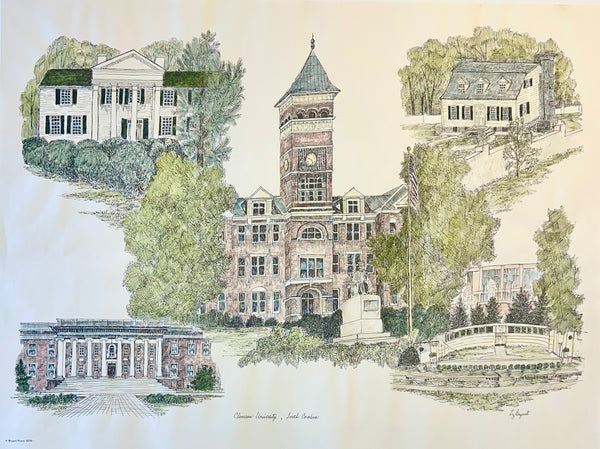
Clemson University Campus Print by Liz Bryant – Hand-Colored Architectural Illustration, 24” x 18”
University of Virginia (UVA), Charlottesville After Richard Rummell, c.1913 — Hand-Colored Print
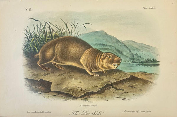
Mountain Beaver (Sewellel) by John James Audubon, 1st Edition Octavo Print, 1842
Chesapeake Bay: Virginia, Maryland, Pennsylvania & New Jersey Original Map by Senex, 1721
William Penn's Treaty with the Indians — Original Hand-Colored Engraving by Hall, circa 1771
James Monroe Signed Virginia Governor Land Grant Document Autograph, c.1800 — Rockingham County

Great Lakes and Canada Map — by Guillaume Delisle, Dezauche, Paris, 1783
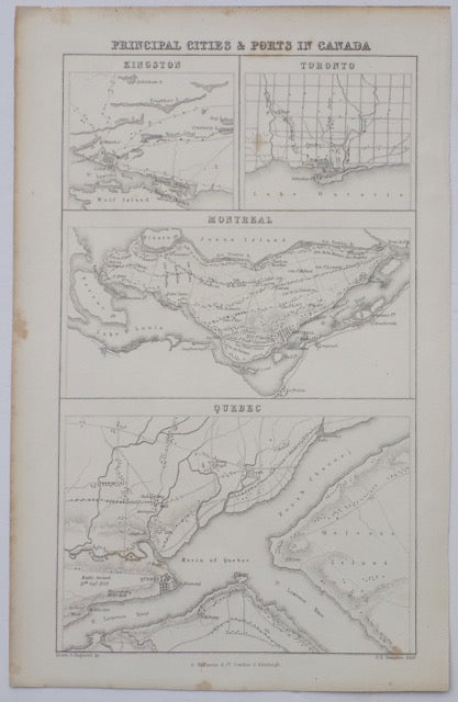
Cities & Ports of Canada, c. 1830
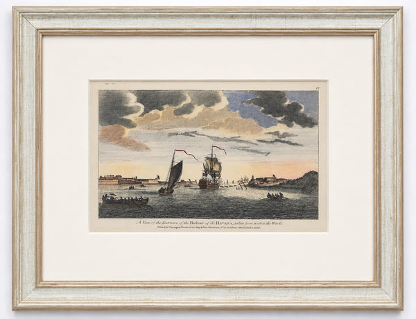
Havana Harbor Cuba by Peter Canot, 1764 | Rare Original Hand-Colored | Custom Framed
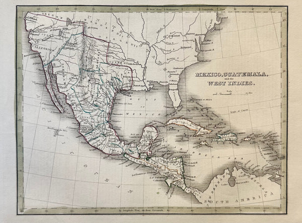
Mexico, Guatemala & West Indies by Bradford, 1830
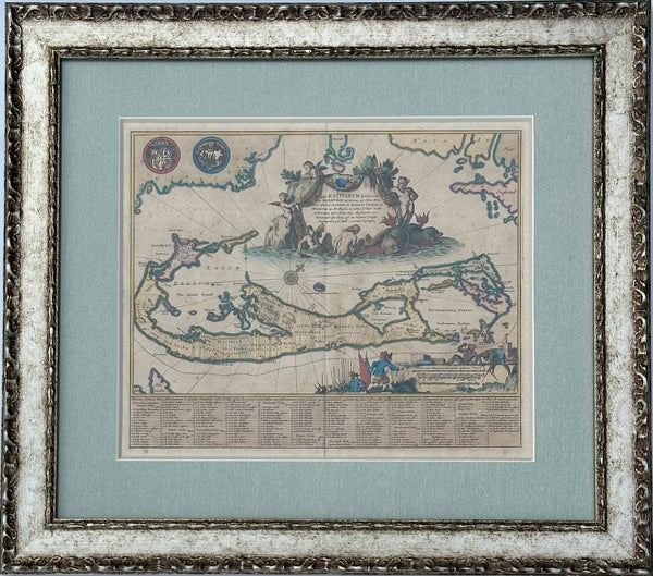
1671 Map of Bermuda by John Ogilby, Framed
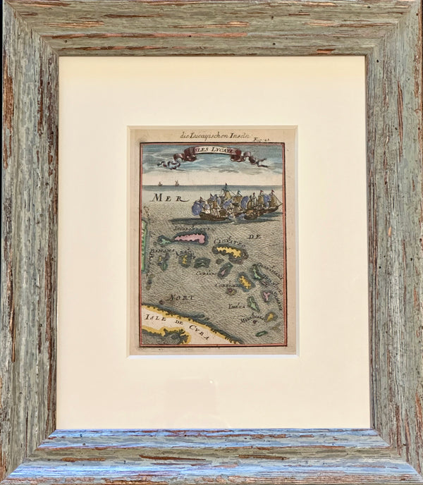
Bahamas Caribbean Coastal Chart by Mallet, 1684 (Framed)
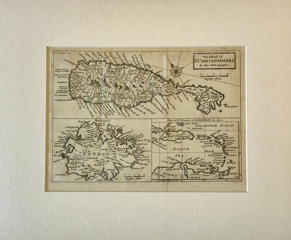
1716 St. Kitts, Antigua & Caribbean — By Herman Moll Atlas Geographicus
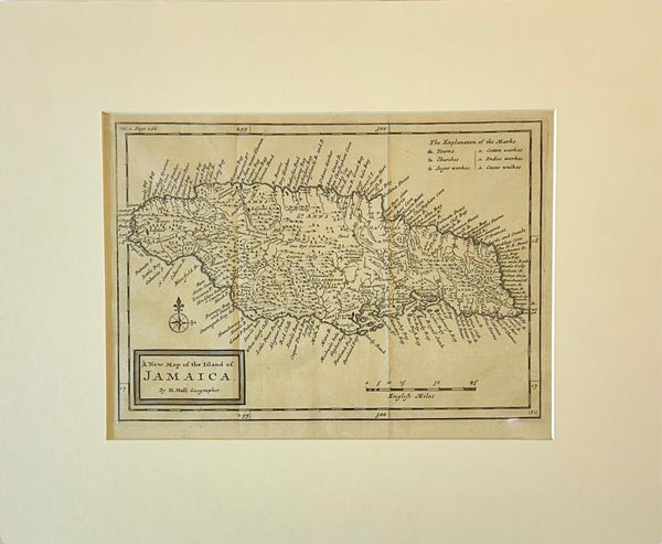
Jamaica by Herman Moll — London, 1716 (Atlas Geographicus)
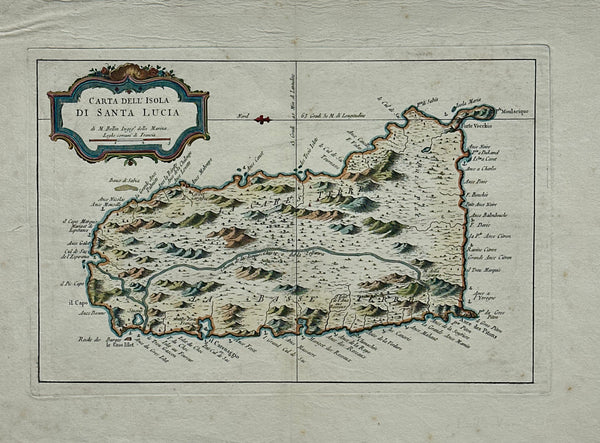
St. Lucia Original map by Jacques Bellin, 1781
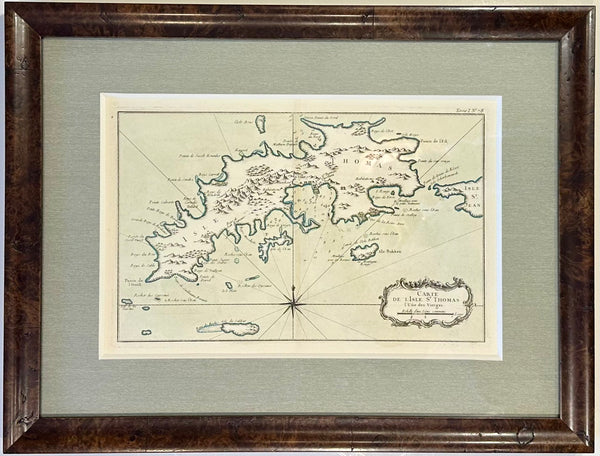
St Thomas, Virgin Islands by Jaques Nicolas Bellin, 1764
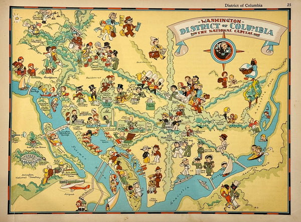
Vintage Map of District of Columbia, 1935
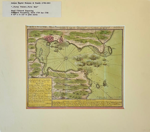
1740 “Portus Pulchri (Porto Bello, Panama)” Johann Baptist Homann Hand-Colored Engraved Harbor Map
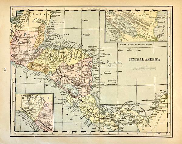
Central America (Aspinwall & Nicaragua), Original map by Cram, 1889
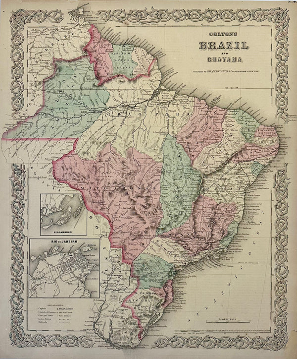
Brazil, Guayana and Rio de Janeiro, Original map by J.H. Colton, 1871
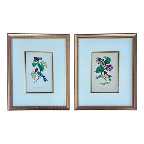
Flora Red-crested Cardinal & Barbet Bird Butterfly , Original Prints by Descourtilz, 1834 (Pair)
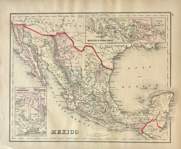
Mexico to Vera Cruz and Tehuantepec, Original Map by Gray, 1884
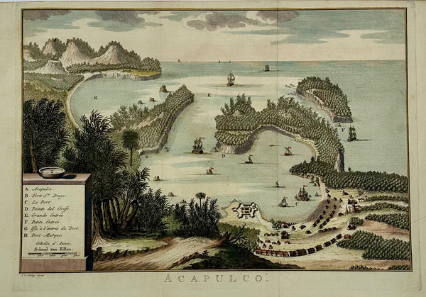
Acapulco, Mexico Original Map by Van der Schley (1762)
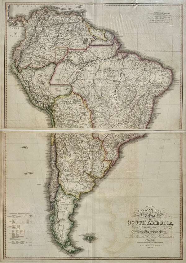
South America & Columbia by Faden 1823
Mexico, Guatemala & West Indies by Bradford, 1830
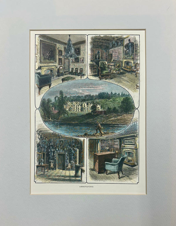
Abbotsford House, home of Sir Walter Scott (Scotland) Original Print, 1870
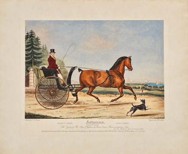
Artaxerxes – Large Original 1838 Hand-Colored British Equestrian Aquatint by F.C. Turner
1757 Map of New England, New York & New Jersey, Homman Heirs
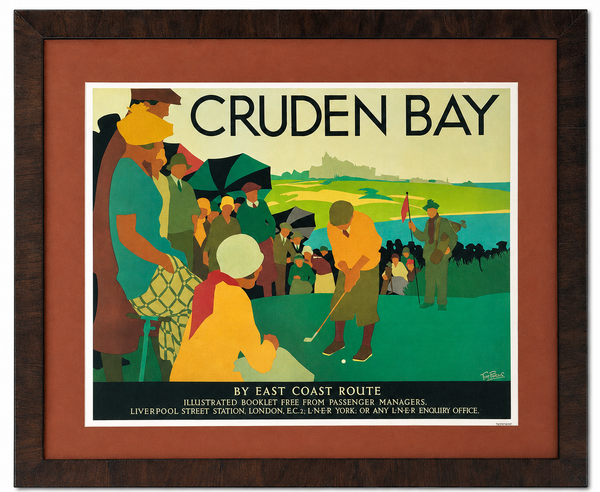
Cruden Bay Golf Travel Poster After Tom Purvis | National Railway Museum Reproduction | Custom Framed
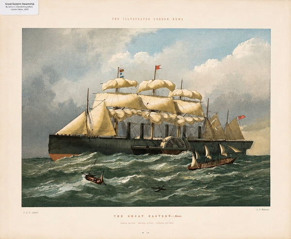
The Great Eastern Steamship — Historic Color Lithograph from The Illustrated London News, 1857
Jamaica by Herman Moll — London, 1716 (Atlas Geographicus)
Dublin, Ireland, Original Map by Cram, 1889
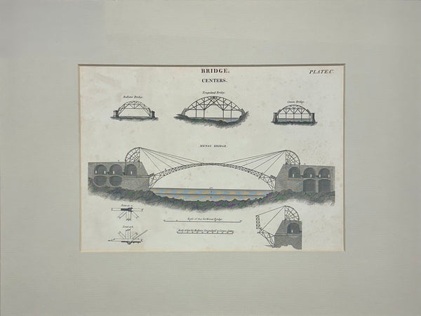
Menai Suspension Bridge (Island of Anglesey to Wales), Original Print, circa 1819
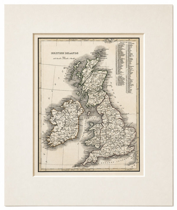
British Islands: England, Scotland, Wales, and Ireland by Bradford, 1835
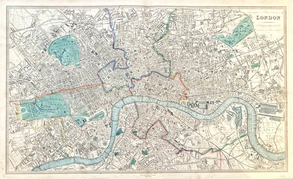
Map of London, England & Thames by Edward Stanford, 1857
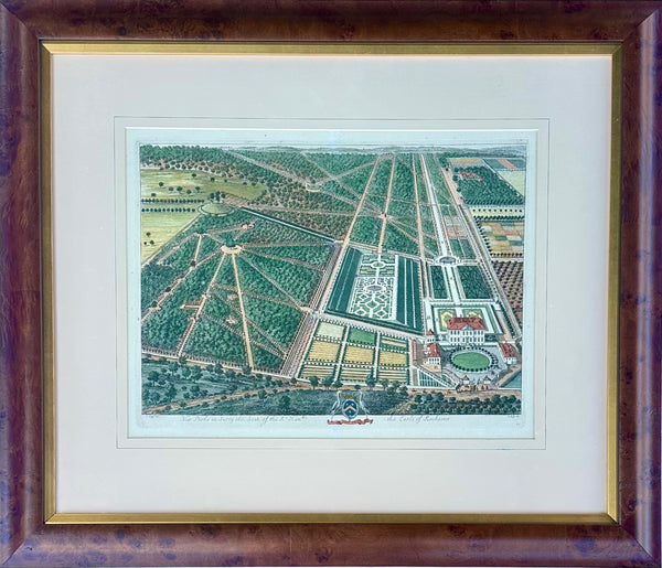
New Park Surrey, Seat of the Earl of Rochester by Johannes Kip, Original Print, circa 1712 (custom framed)
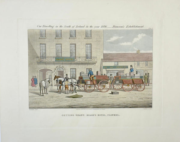
Getting Ready, Hearn’s Hotel, Clonmel, 1856
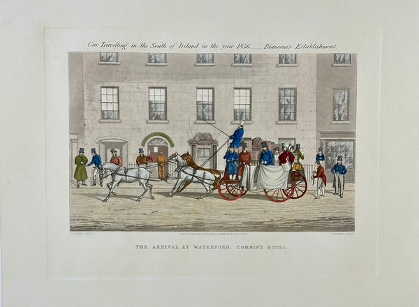
The Arrival at Waterford, Commin’s Hotel, 1856
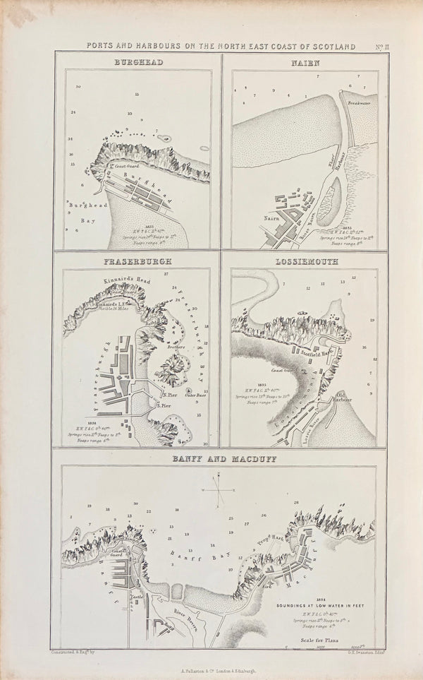
Scotland Ports & Harbors on North East Coast, 1852
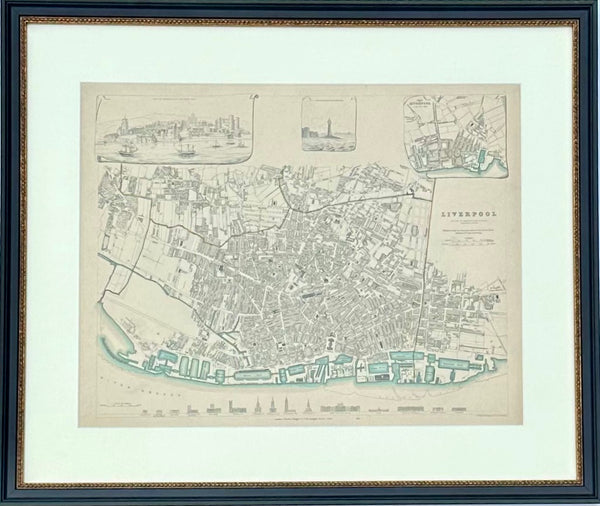
Liverpool, Original Hand Colored Engraving, 1835
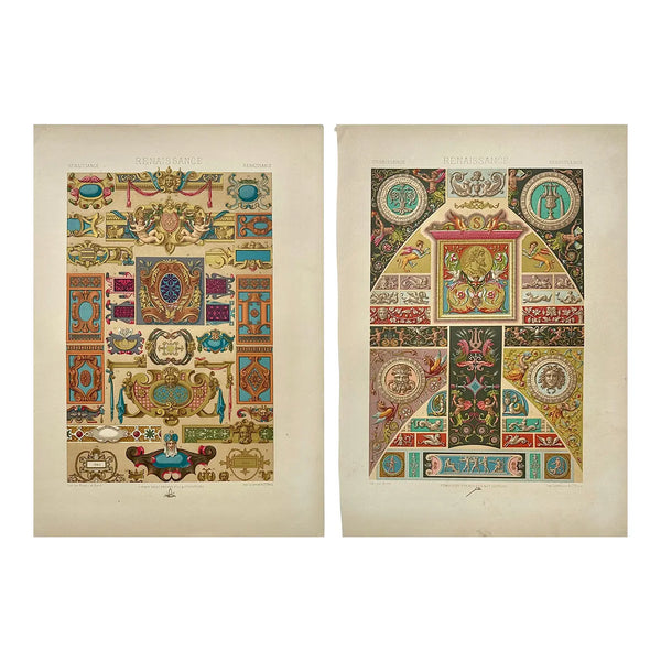
1873 Racinet L'Ornement Polychrome Chromolithographs – Renaissance Ornament Prints, Pair
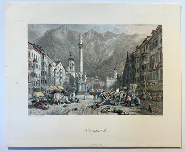
Innsbruck, Austria 1872
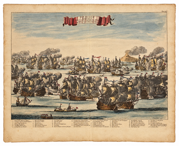
Battle of Agosta (Augusta), Sicily (Mount Etna) | Original Hand-Colored Copperplate Engraving by Daniël Stoopendaal, 1676
Great Lakes and Canada Map — by Guillaume Delisle, Dezauche, Paris, 1783
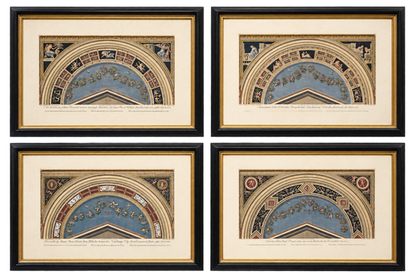
Giovanni Ottaviani Raphael Vatican Loggias Hand-Colored Engravings, Set of 4, circa 1770
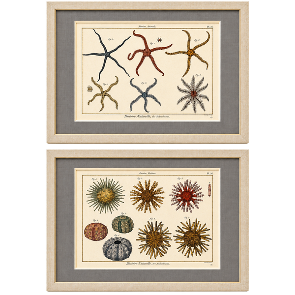
Starfish & Sea Urchins – Set of 2 Custom Framed – Antique Marine Life Engravings by Lamarck, Paris 1791
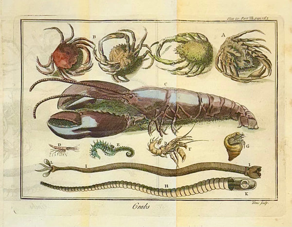
Lobster, Seahorse & Crab Original Engraving Le Spectacle de la Nature, Paris, 1741
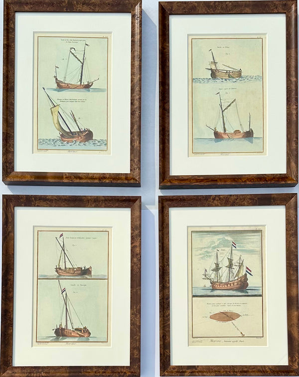
French Maritime Ship Engravings, Framed S/4
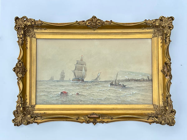
Maritime Watercolor Clipper Ship at Sea by Saint Clair Mulholland
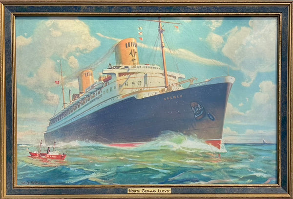
Vintage Poster "Norddeutscher Lloyd - Ss Bremen" After William James Aylward, Framed, c. 1933
Dublin, Ireland, Original Map by Cram, 1889
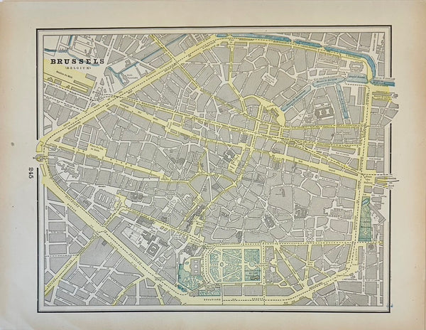
Brussels, Belgium, Original Map by Cram, 1889
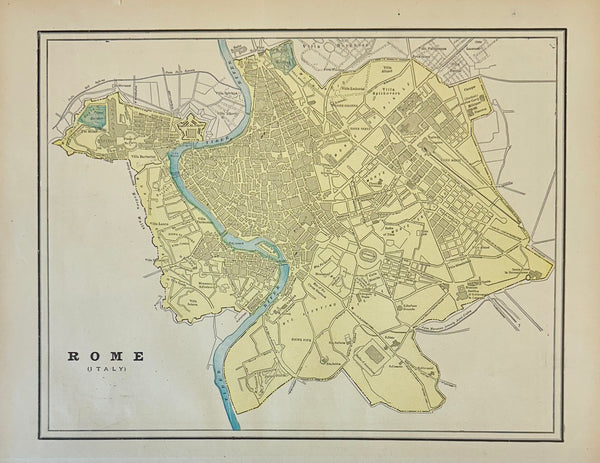
Rome, Italy, Original Map by Cram, 1889
Flora Red-crested Cardinal & Barbet Bird Butterfly , Original Prints by Descourtilz, 1834 (Pair)
New Park Surrey, Seat of the Earl of Rochester by Johannes Kip, Original Print, circa 1712 (custom framed)
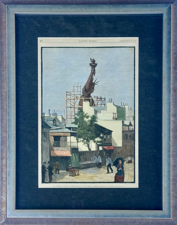
Statue of Liberty Under Construction Framed Print, Antique 1880s Harper’s Weekly
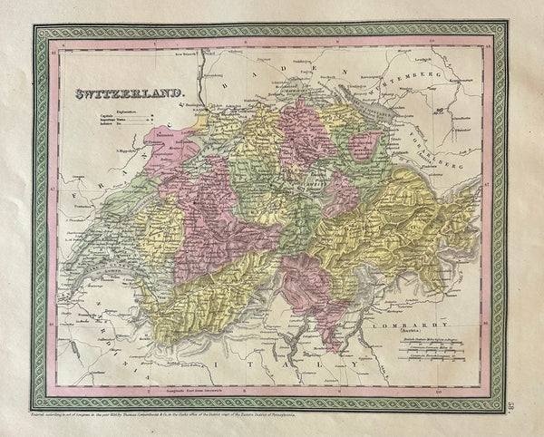
Switzerland Original Map by Mitchell, 1846
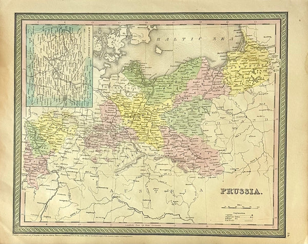
Prussia, Germany, Poland With Inset of Berlin Map by Cowperthwait, 1850
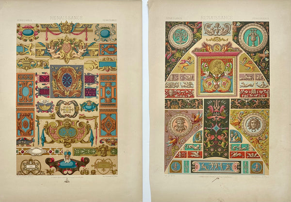
Renaissance decorative motifs Chromolithograph Prints, — Set of 2, 1870

Genoa Italy, Original Map, 1834
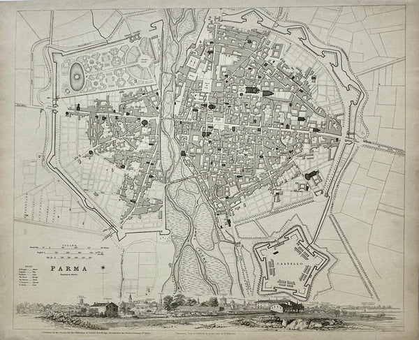
Parma Italy, Original Map, 1834
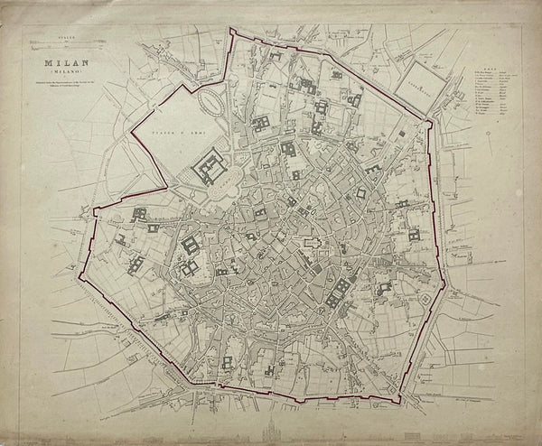
Milan Italy, Original Map, 1834
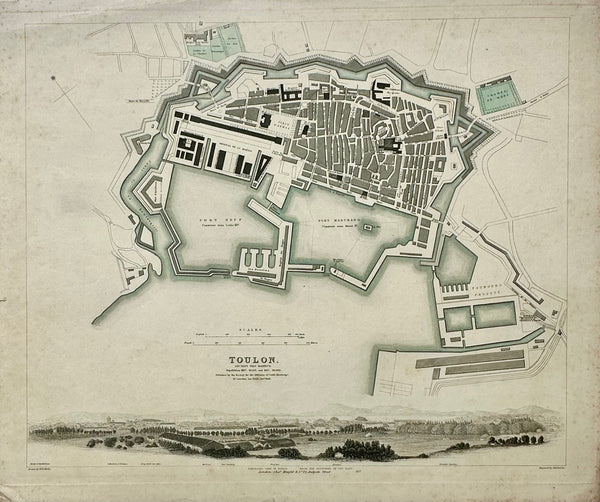
Toulon France, Original Map, 1834
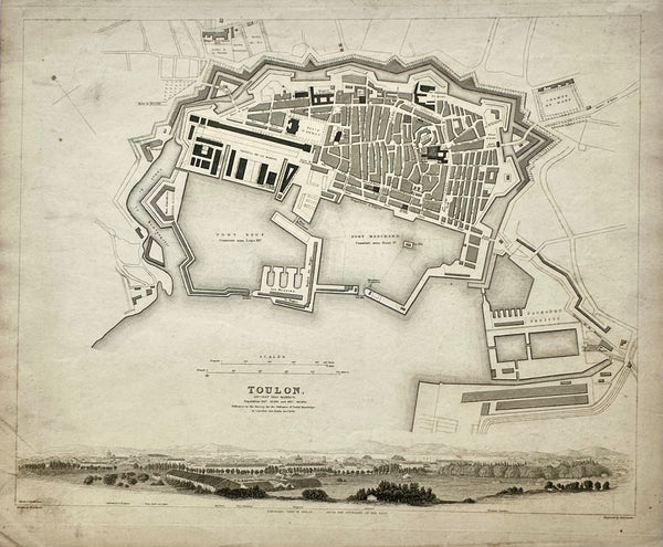
Toulon France Original Map, 1834
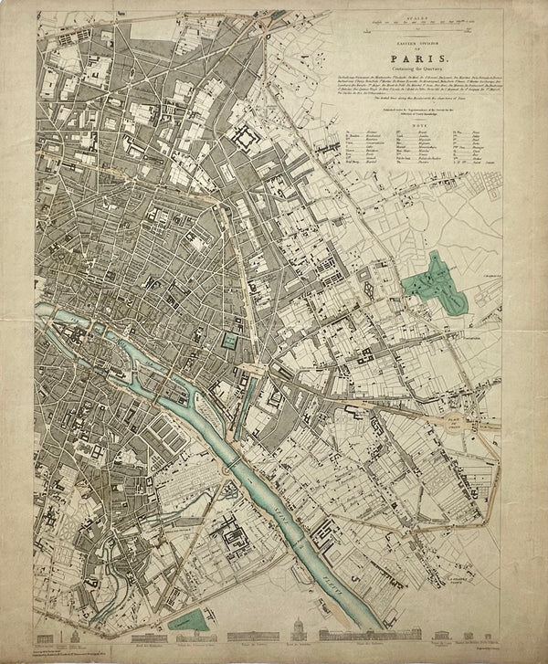
Paris, Eastern Division, Original Map, circa 1834
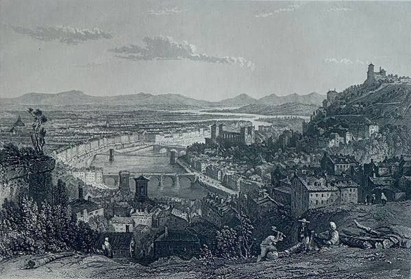
Lyons, From La Croix Rousse Original Print by Allom, 1870
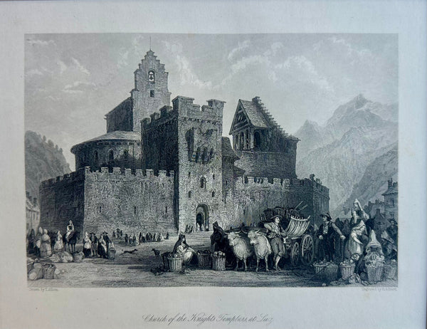
Church of the Knights Templars, at Luz Original Print by Allom, 1845
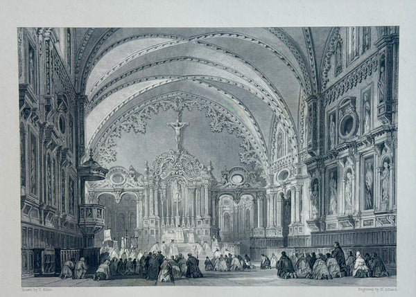
Church of St. Taur (Notre-Dame du Taur) Toulouse, France, 1840
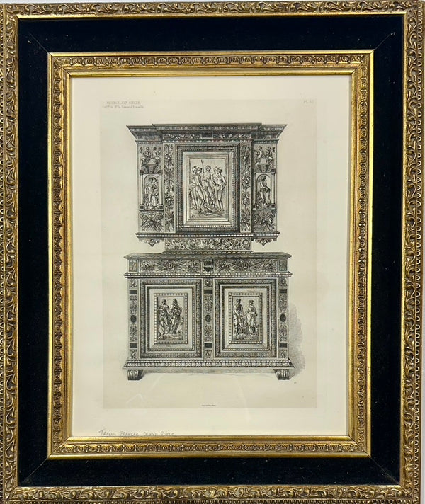
Architectural Traviel: Cabinetry & Furniture Design, 1888 (framed)
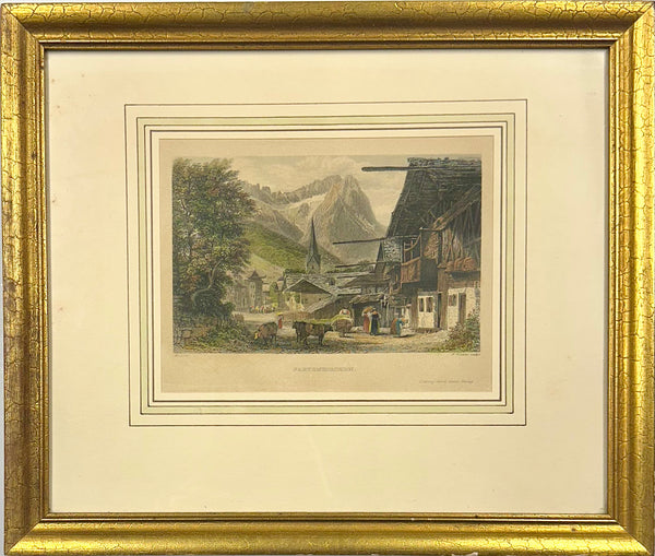
Partenkirchen, Germany (Bavarian Alps), Original print, 1840 (framed)
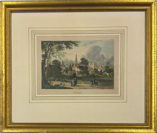
Brussels: Upper Largo & Church, Original Print, 1840 (Framed)
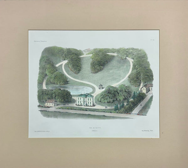
Parc De Gastines Original Lithograph, 1860
Menai Suspension Bridge (Island of Anglesey to Wales), Original Print, circa 1819
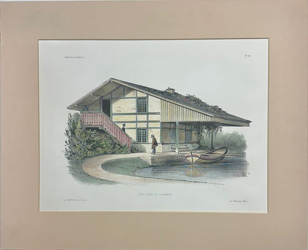
Petit Chalet De La Verrerie Original Lithograph, 1860
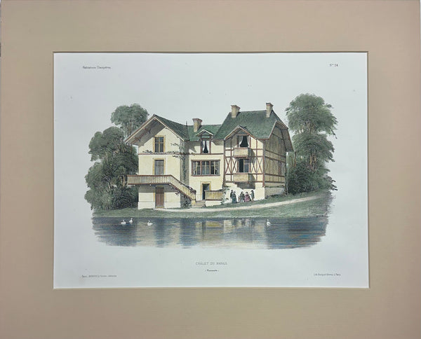
Chalet Du Marais (Marsh), Original Lithograph, 1860
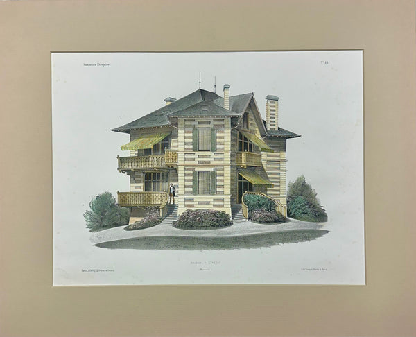
Maison a Etretat (France) Original Lithograph, 1860
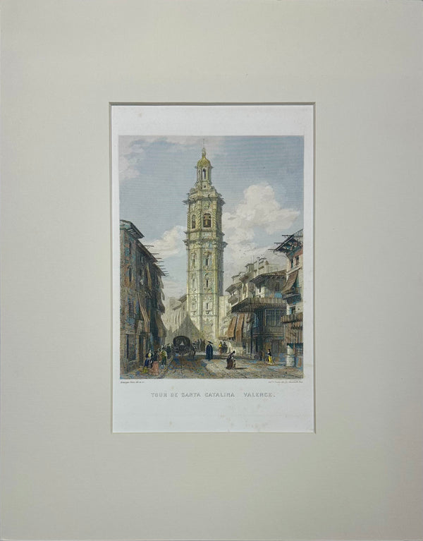
Church of Santa Catalina, Valencia, Spain Original Engraving, Circa 1851
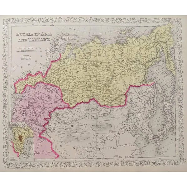
Russia, Tartaria and China, Original Map by Mitchell, 1849
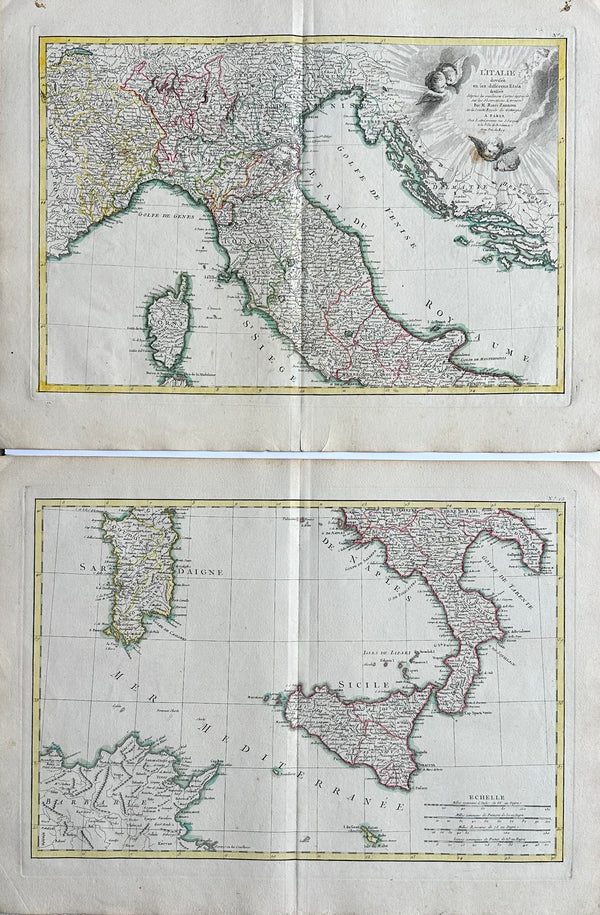
Northern & Southern Italy, Original double map by Lattre, 1762
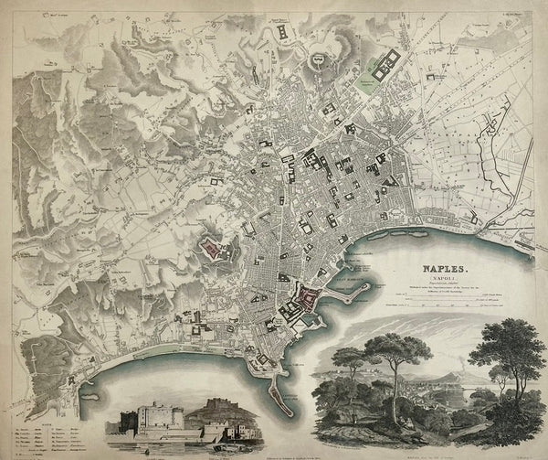
Naples Map by Baldwin, 1835
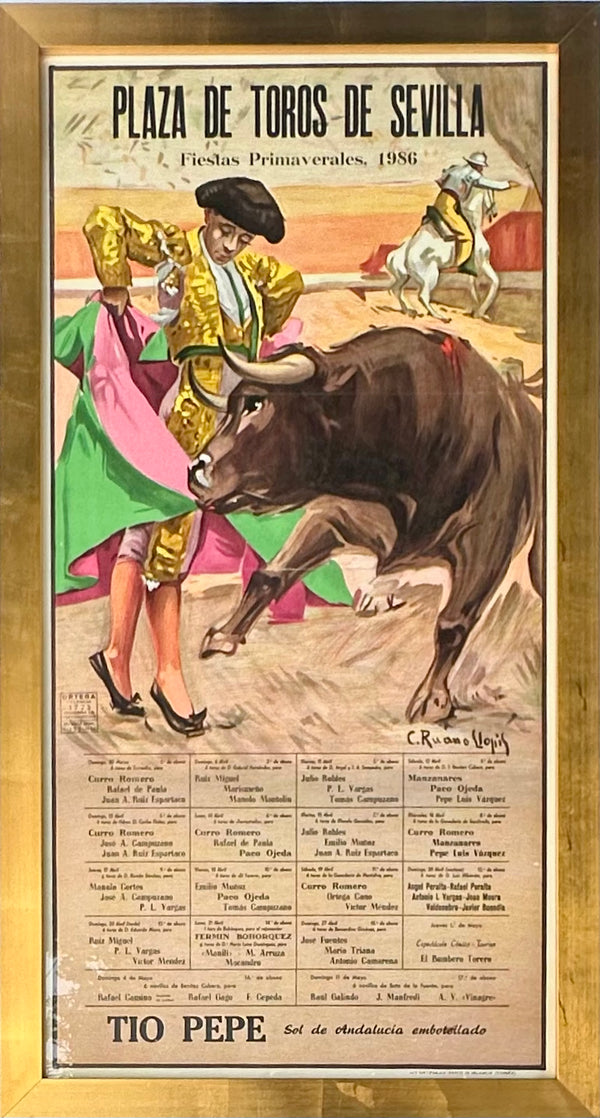
1986 Plaza De Toros De Sevilla Bullfight Poster – Fiestas Primaverales, Tío Pepe Advertisement – Framed
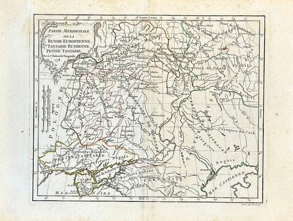
Russia, Ukraine, Petite Tartarie by Robert De Vaugondy, 1778
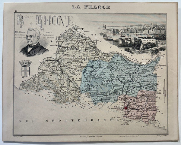
1883 Bouches-Du-Rhone, France
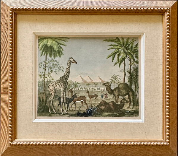
African Safari with Giraffe, Camel & Giza Pyramids – Antique Engraving by Johann Georg Heck, 1852, Custom Framed
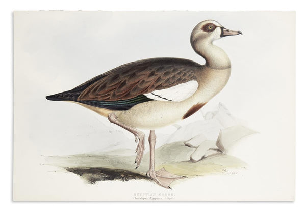
1837 Egyptian Goose John Gould Prints
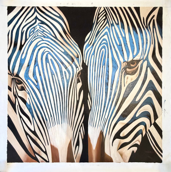
Contemporary Blue Zebra Double Portrait Painting – Original Oil by P. Charles on Unstretched Canvas, 40" x 40"
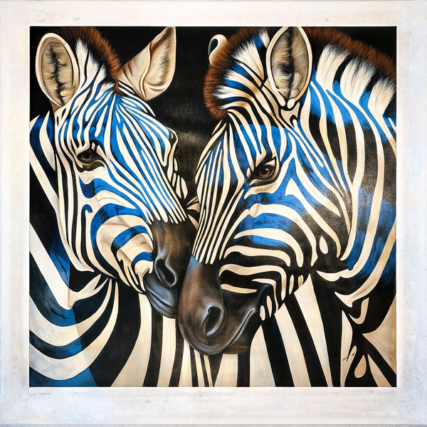
Contemporary Zebra Original Painting in Blue and Black – by P Charles, 36 x 36", Unstretched
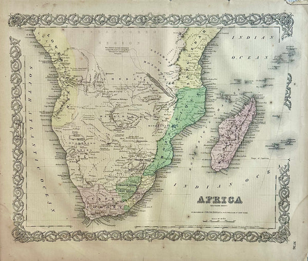
South Africa Map by J. H. Colton, 1855
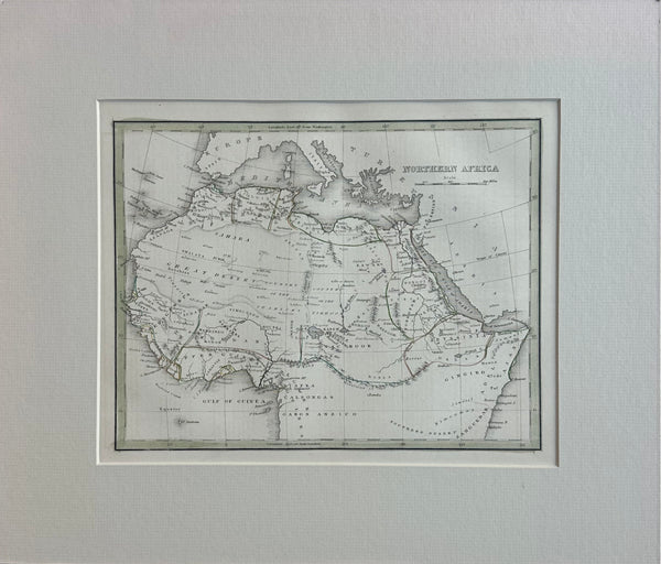
Northern Africa, Original Map by Bradford, 1835
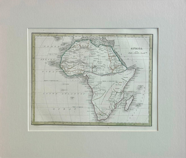
Africa & Madagascar, Original Map by Bradford, 1835
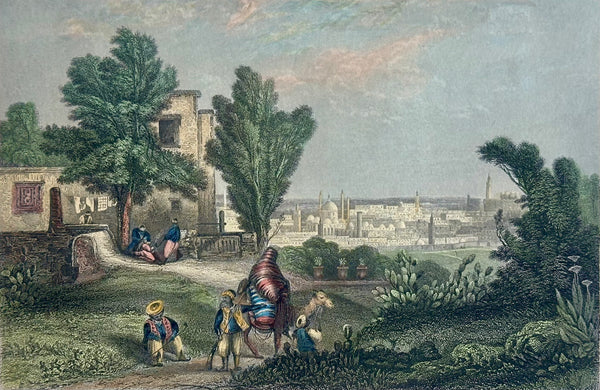
Tunis (Saneeah Eftoor), Africa, Original Print, 1840
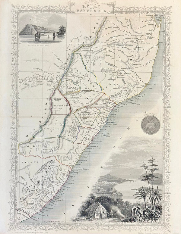
South Africa: Natal & Kaffra by Tallis, circa 1853
Original Map of Indian River Hundred, Sussex County, Delaware | Pomeroy & Beers, 1868 | Custom Framed
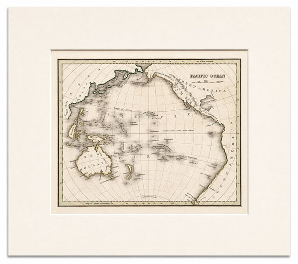
Pacific Ocean Map – Circular Projection Showing Asia, Australia & the Americas by Bradford, 1850
William Penn's Treaty with the Indians — Original Hand-Colored Engraving by Hall, circa 1771
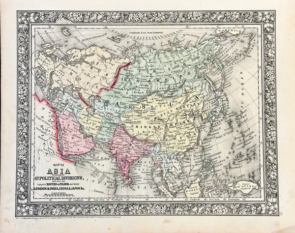
Asia by Samuel Mitchell, 1860
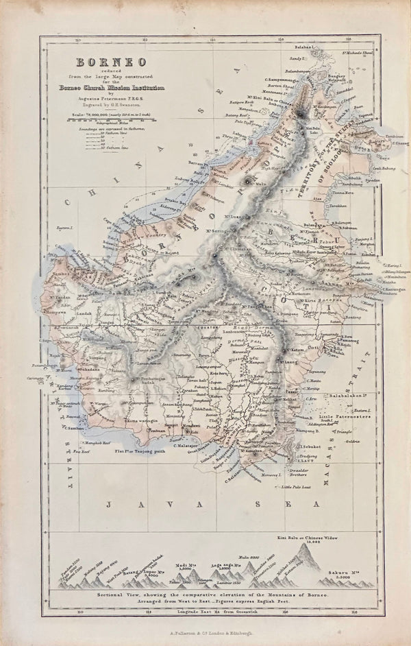
Borneo, Indonesia 1852
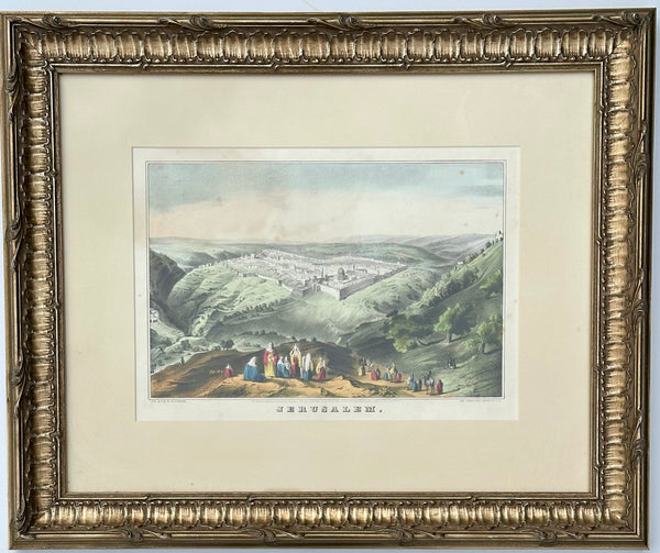
1846 Jerusalem View by Currier & Ives, Framed
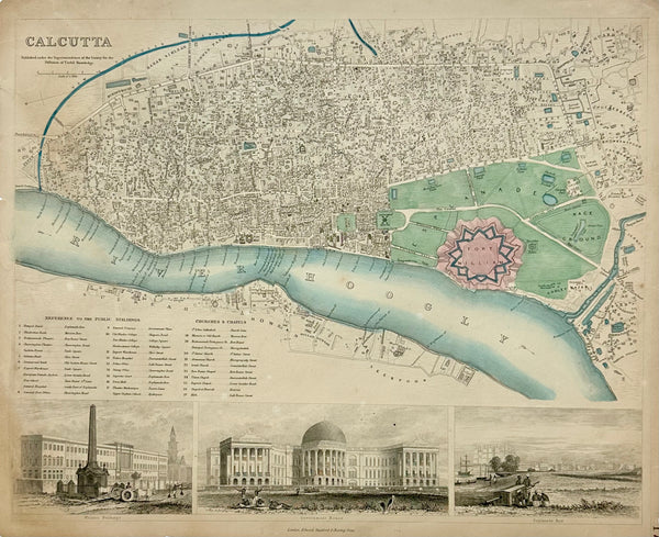
Calcutta India, Original Map, 1834
Russia, Tartaria and China, Original Map by Mitchell, 1849
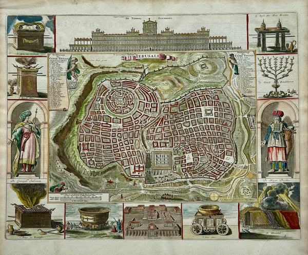
Jerusalem, Original Map by Daniel Stoopendaal, Circa 1710
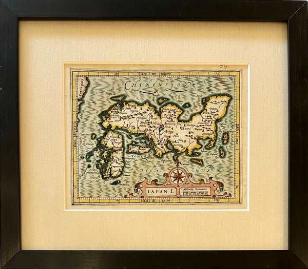
Map of Japan by Hondius, 1607 (framed)

Japan & Korea by Tallis, 1851

Map of Discovery, Nc Wyeth, 1928 (Set of 2, Framed)
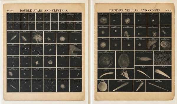
Pair of Antique Celestial Astronomy Charts – Nebulae, Comets & Star Clusters by Elijah Burritt, 1856
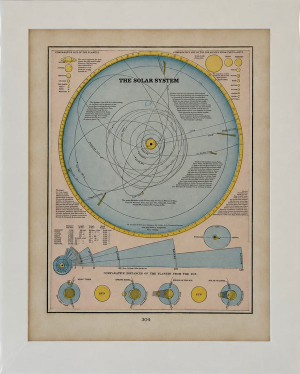
1889 Antique Solar System Map by Cram – Planetary Orbits & Comparative Distances, Original Color Lithograph
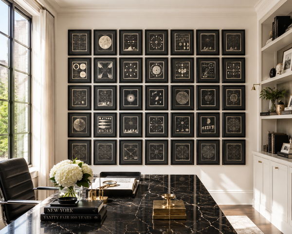
1848 Asa Smith Illustrated Astronomy – Complete 30-Plate Framed Celestial Gallery Wall
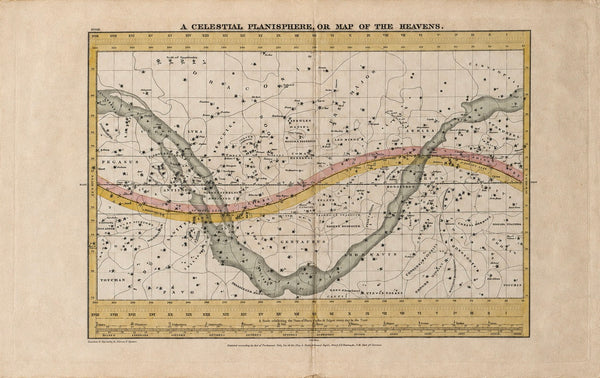
Map of the Heavens & Milky Way | Antique Hand-Colored Celestial Planisphere | from Geography of the Heavens by Elijah Hinsdale Burritt, 1835
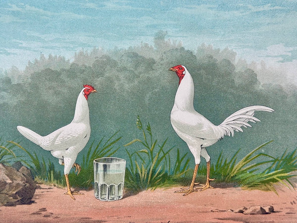
White Game Bantams Poultry Chromolithograph, Poultry World, circa 1879
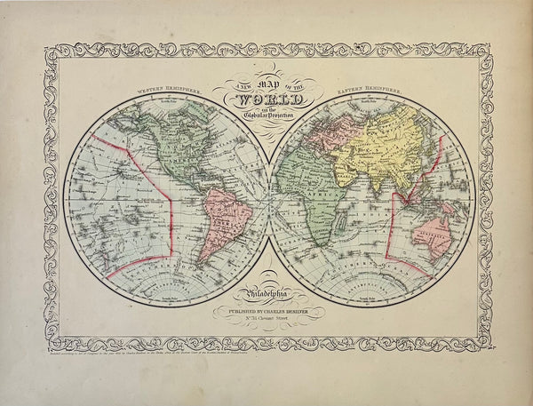
Double hemisphere map of the World, by Charles Desilver, 1856
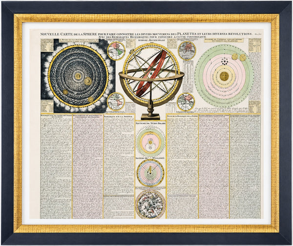
Antique Celestial Chart, Spheres & Astronomy of the Sun, Planet, and Moon Orbits by Henri Abraham Chatelain, 1718
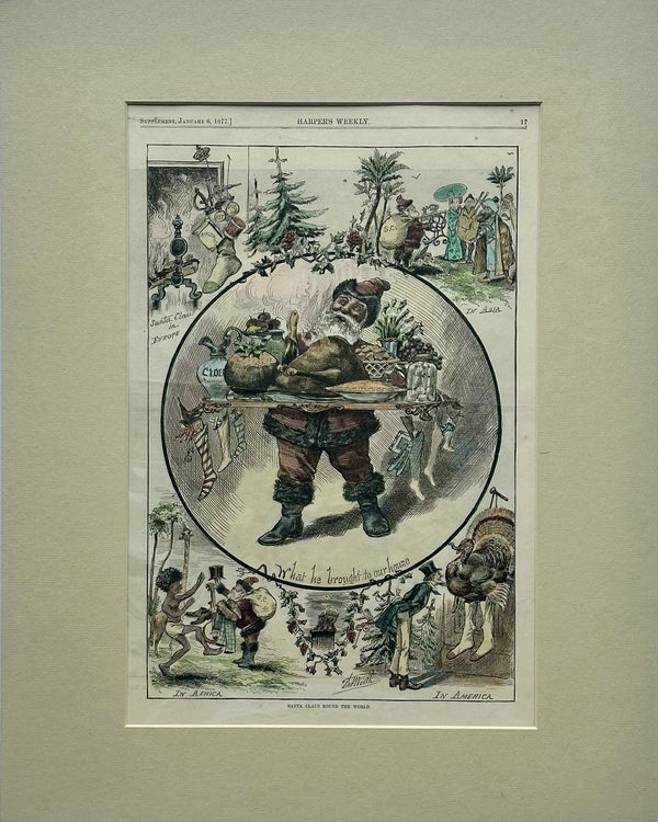
Santa Claus Round the World, Original Print, 1877
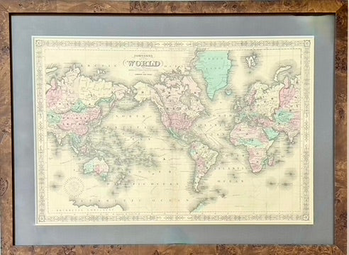
Map of the World on Mercator's Projection by Johnson, 1861
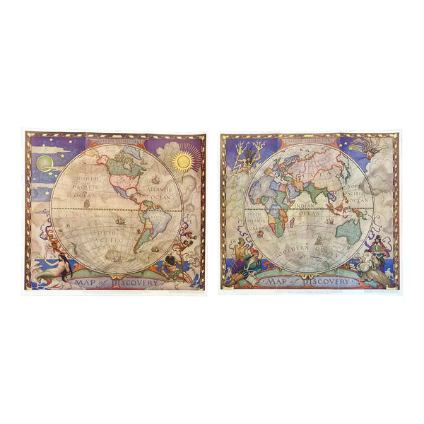
Set of 2 Map of Discovery, NC Wyeth, 1928
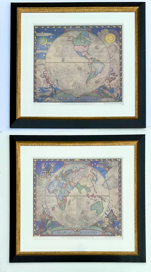
Maps of the World, N.C. Wyeth. Lithograph, 1928 (Pair)
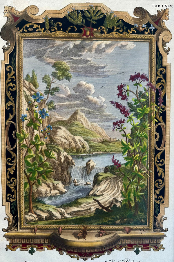
Creation of Universe, Original Engraving by Johann Scheuchzer, 1731
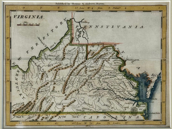
Viriginia from Morse’s Universal Geography, 1796
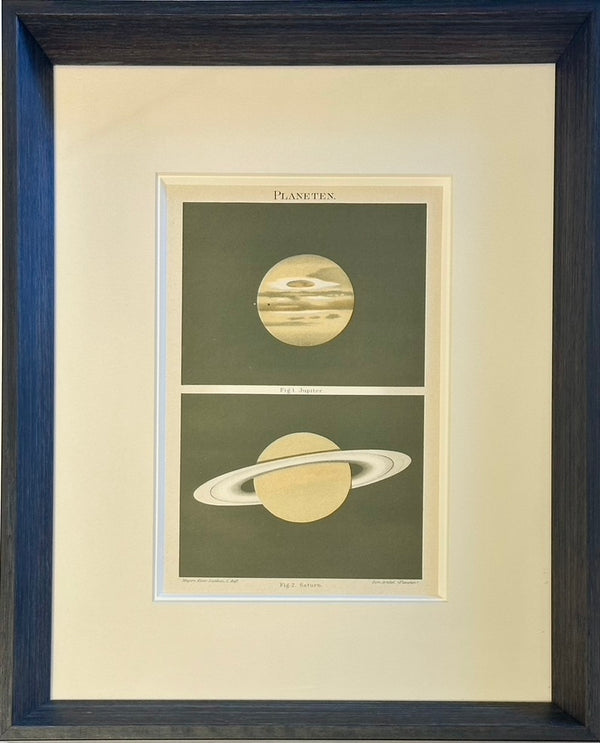
Saturn & Jupiter Planet Chromolithograph, 1907
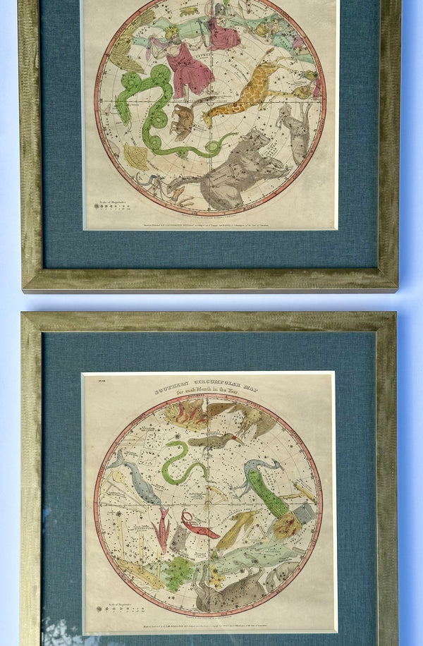
1835 Original Celestial Map of Constellations by month | by Elijah Burritt | S/2 framed
Not Just a Map Shop — a Cartographic Archive
Anyone can sell you a reproduction. Browsing the world the way you just did is only possible because of what stands behind it.
A Living Archive
Our holdings exceed three hundred thousand original maps, prints, and paintings — roughly 60,000 on display between Ocean View and Lewes, from a 1671 chart of Bermuda to a 1937 coastal road map.
Museum-Trained Eyes
Every piece is vetted by people who have done it at the highest level — Kerry, with experience at Sotheby's and the Metropolitan Museum of Art, and Brandon, whose framing expertise spans more than twenty-five years.
From Wall to Your Wall
We don't stop at the sale. All framing is done by hand, in-house, with acid-free, American-made materials — then delivered and hung in your home throughout coastal Delaware.