
Map
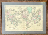
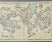
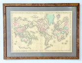
Map of the World on Mercator's Projection by Johnson, 1861
$525
Guaranteed Authentic Original
Original engraving from the New Illustrated Atlas by Alvin Johnson and published by Johnson & Ward 1861. Map depicts the world centered on the Americas and includes routes of explorers such as Captain James Cook and Captain Charles Wilkes. Political borders reflect the mid-19th century, with Africa being largely "unexplored" and Alaska labeled as "Russian Possessions". The map also notes important...
- TypeMap
- AuthenticityDocumented · guaranteed genuine
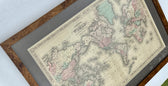
★Framed by hand in our Ocean View studio — backed by Brandon's 25+ years of custom framing.
● Free delivery throughout coastal Delaware
● In-home hanging available
You May Also Like
— From the Collection —
View Piece
Map
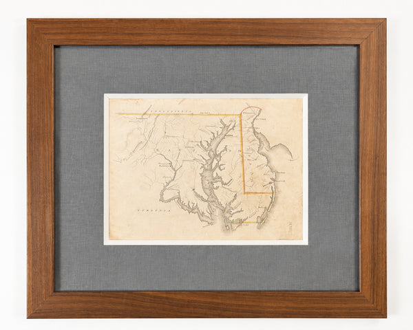
Delaware & Maryland Map by Luke Drury, 1822
$625
View Piece
Map
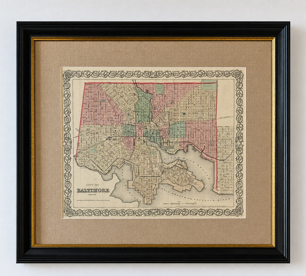
Antique Baltimore, Maryland City Map | Hand-Colored Engraving | Custom Framed
$525
View Piece
Map
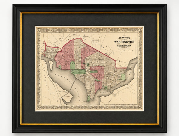
Washington, D.C. & Georgetown Map by A.J. Johnson, Circa 1868, Custom Framed
$550
View Piece
Map
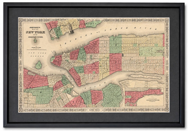
New York City & Brooklyn Map by Johnson, Framed (Circa 1864)
$600