

Map
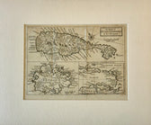
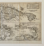
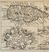
1716 St. Kitts, Antigua & Caribbean — By Herman Moll Atlas Geographicus
$500
Guaranteed Authentic Original
Original copperplate engraving by Herman Moll, London, 1716From Atlas Geographicus: or, a Compleat System of Geography A beautifully detailed early 18th-century map of St. Christopher’s (St. Kitts) accompanied by a secondary map of Antigua and an inset regional chart of the Caribbean and northern South America. This composition reflects Britain’s expanding colonial presence in the Leeward Islands during the early...
- TypeMap
- AuthenticityDocumented · guaranteed genuine
★Framed by hand in our Ocean View studio — backed by Brandon's 25+ years of custom framing.
● Free delivery throughout coastal Delaware
● In-home hanging available
You May Also Like
— From the Collection —
View Piece
Map
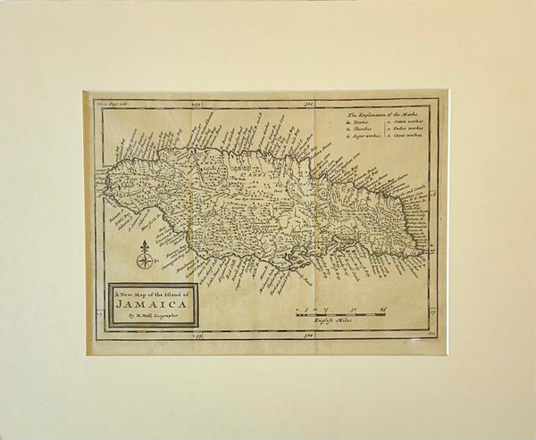
Jamaica by Herman Moll — London, 1716 (Atlas Geographicus)
$650
View Piece
Map
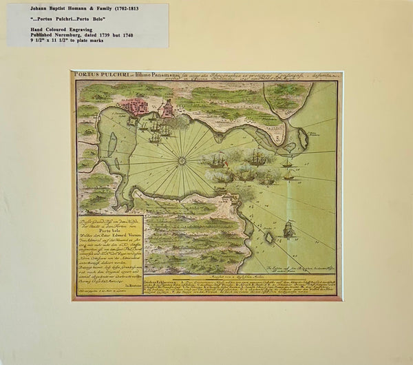
1740 “Portus Pulchri (Porto Bello, Panama)” Johann Baptist Homann Hand-Colored Engraved Harbor Map
$400
View Piece
Map
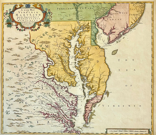
Chesapeake Bay: Virginia, Maryland, Pennsylvania & New Jersey Original Map by Senex, 1721
$5,200
View Piece
Print
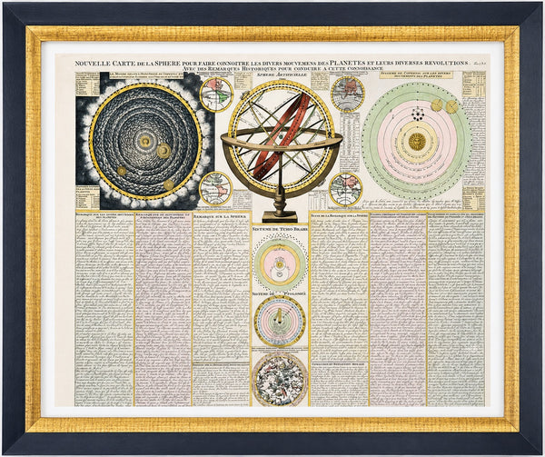
Antique Celestial Chart, Spheres & Astronomy of the Sun, Planet, and Moon Orbits by Henri Abraham Chatelain, 1718
$1,100