SOLD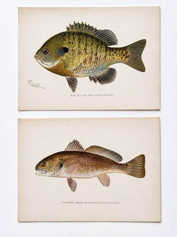
View Piece
Print
Blue Gill Sunfish & Chanel Bass by Denton, Circa 1903 (S/2)
SOLD
View Piece
Map
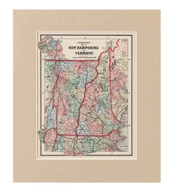
New Hampshire & Vermont | Original Hand-Colored Map by J.H. Colton, 1855
$150
View Piece
Map
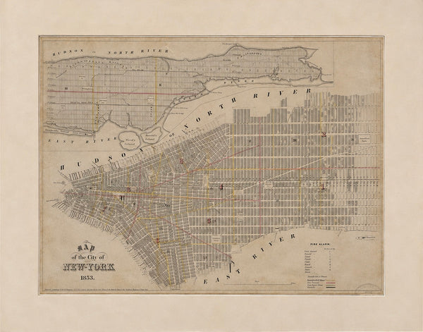
1853 Antique Map of New York City – George Hayward, Valentine's Manual | Original Manhattan Map
$400
View Piece
Map
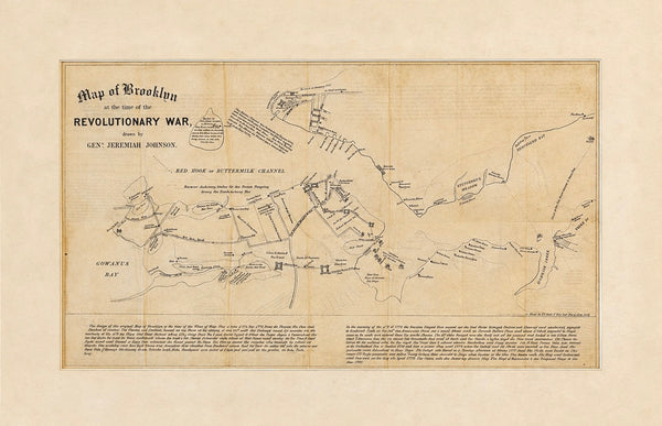
Map of Brooklyn at the time of the Revolutionary War (Fort Greene), Valentine's Manual, 1858
$250
View Piece
Print
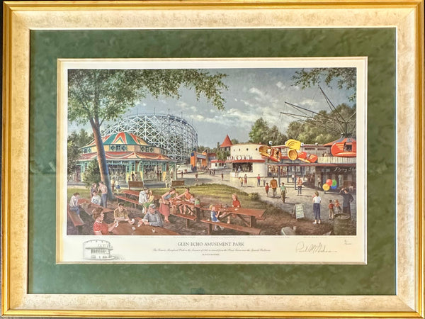
Glen Echo Amusement Park | Signed & Numbered Limited Edition Print by Paul McGehee | Custom Framed
$825
View Piece
Map
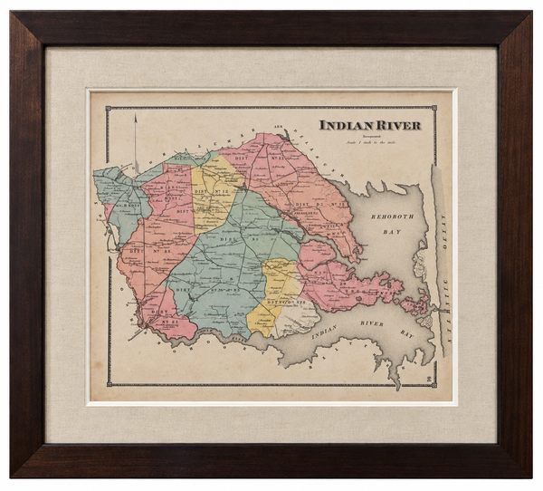
Original Map of Indian River Hundred, Sussex County, Delaware | Pomeroy & Beers, 1868 | Custom Framed
$825

View Piece
Map
Maryland and Virginia Fenwick Island Light to Chincoteague Inlet - 1944 Nautical Map - Custom framed
$925
View Piece
Print
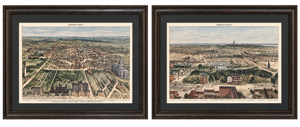
Washington, D.C. and U.S. Capitol from Harper’s Weekly by Theodore R. Davis, 1882 (pair)
$1,700
View Piece
Map
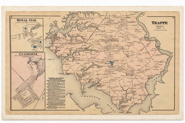
Map of Trappe & Royal Oak, Talbot County, Maryland — Lake, Griffing & Stevenson, 1877
$250
View Piece
Map
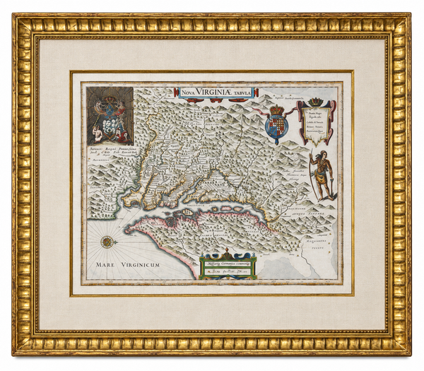
Historic Virginia & Chesapeake Bay Map by Willem Blaeu 1635 (custom framed, gold-leaf)
$4,800
SOLD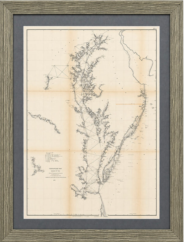
View Piece
Map
1856 U.S. Coast Survey Map of Chesapeake Bay & Delaware Bay – A.D. Bache Antique Nautical Chart
SOLD
View Piece
Print
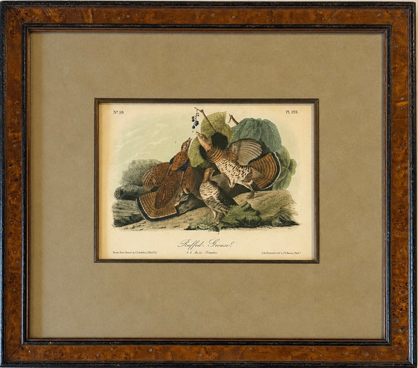
Ruffed Grouse Original Antique Bird Print by John James Audubon, Framed in Burl Wood
$425
View Piece
Print
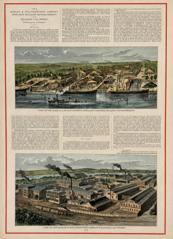
Harlan & Hollingsworth Shipbuilding & Railroad, Wilmington Riverfront Delaware – Antique Steel Engraving, 1890
$135
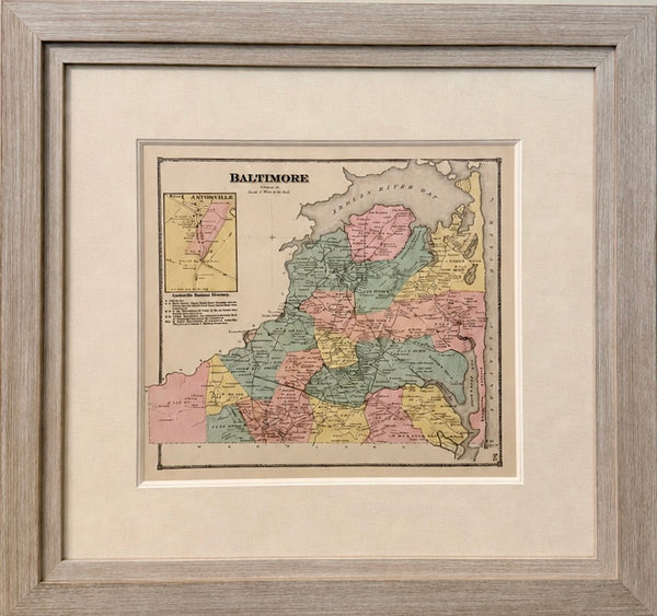
View Piece
Map
Original Baltimore Hundred Sussex County Delaware Map | Bethany & Rehoboth Beach | Beers & Pomeroy, 1868 | Custom Framed
$1,250
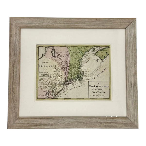
View Piece
Map
1757 Map of New England, New York & New Jersey, Homman Heirs
$575
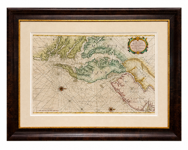
View Piece
Map
1773 Chesapeake & Delaware Bay Sea Chart Map – Revolutionary War Era by Mount & Page (Second State)
$5,200
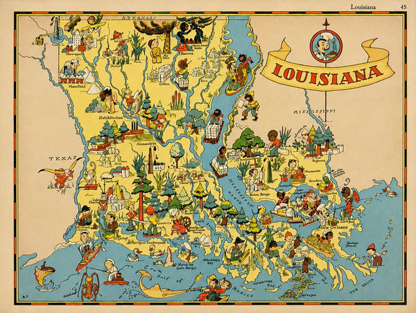
View Piece
Map
Vintage Louisiana & Gulf Coast Pictorial Map by Taylor, 1935 – Original Map
$85
View Piece
Map
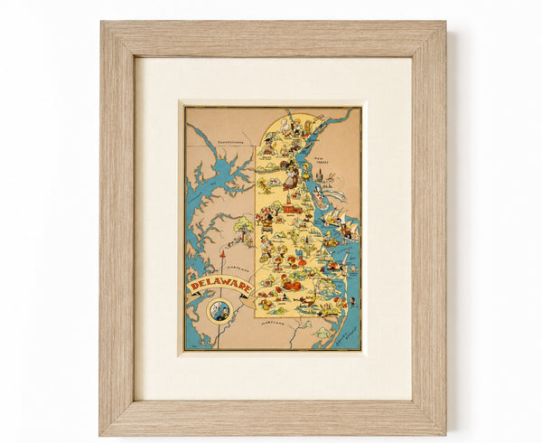
Vintage Delaware Pictorial Map by Taylor, 1935 – Original Custom Framed Map
$395
View Piece
Map
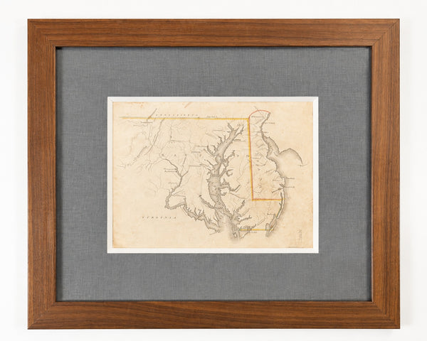
Delaware & Maryland Map by Luke Drury, 1822
$625
View Piece
Map
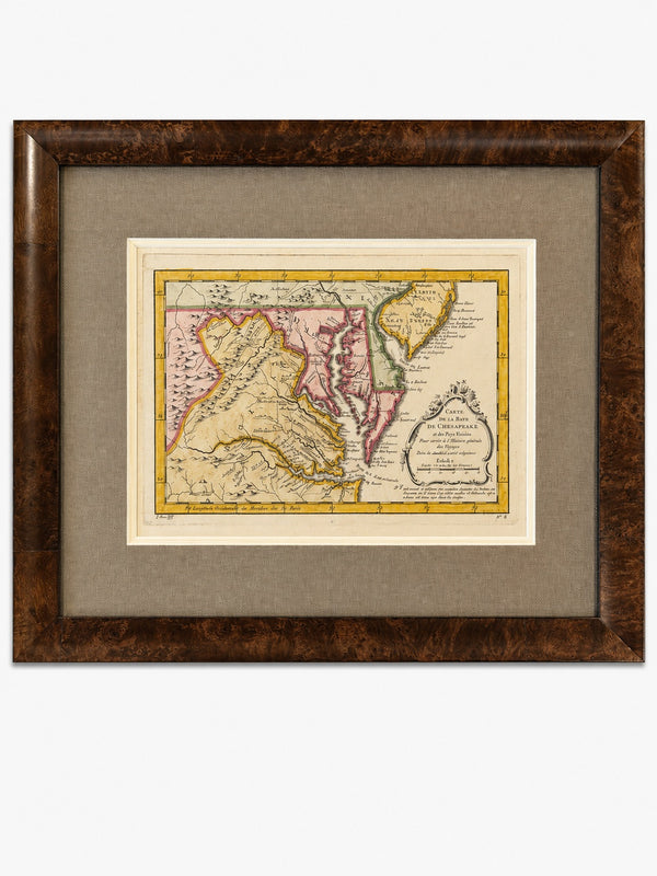
Original 1757 Hand-Colored Chesapeake Bay Map by Jacques-Nicolas Bellin | Copper Engraving | Custom Framed
$650
View Piece
Print
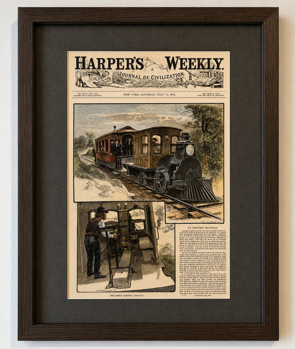
Thomas Edison & the First Electric Railroad – Menlo Park, New Jersey, Harper's Weekly, 1882
$325

View Piece
Work
Quantico, Maryland
Inquire
SOLD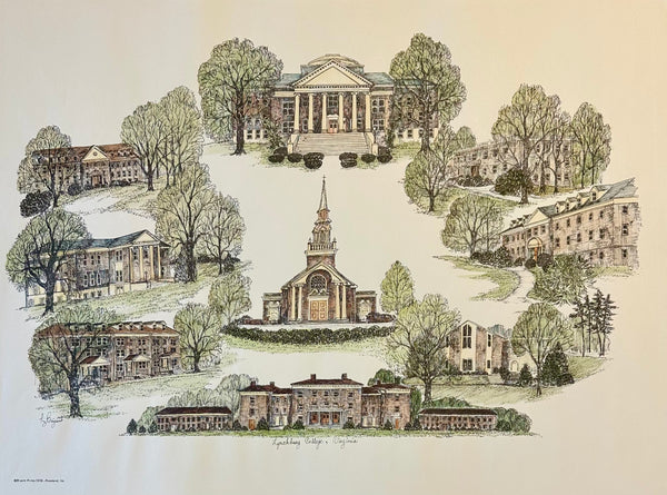
View Piece
Print
Lynchburg College Virginia Campus Print by Liz Bryant – Hand-Colored Architectural Illustration, 24” x 18”
SOLD
View Piece
Map
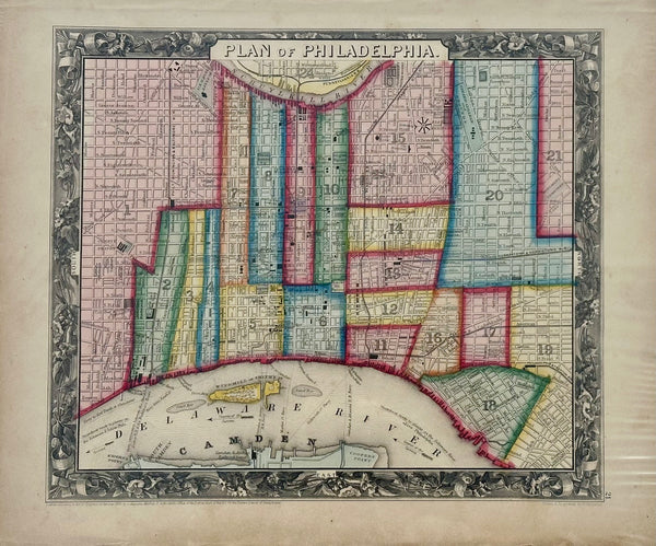
Philadelphia by Samuel A. Mitchell, 1860
$145