


Map
Great Lakes and Canada Map — by Guillaume Delisle, Dezauche, Paris, 1783
$1,650
Guaranteed Authentic Original
An impressive and highly detailed original copperplate engraving of Canada and the Great Lakes, titled Carte du Canada ou de la Nouvelle France. Created by the celebrated French cartographer Guillaume Delisle in 1703, this later edition was published in Paris by Jean-Claude Dezauche in 1783. Delisle’s landmark mapping of New France represented a major advancement in the cartography of North...
- TypeMap
- AuthenticityDocumented · guaranteed genuine
★Framed by hand in our Ocean View studio — backed by Brandon's 25+ years of custom framing.
● Free delivery throughout coastal Delaware
● In-home hanging available
You May Also Like
— From the Collection —
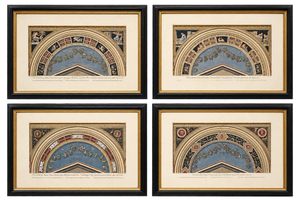
View Piece
Print
Giovanni Ottaviani Raphael Vatican Loggias Hand-Colored Engravings, Set of 4, circa 1770
$2,400
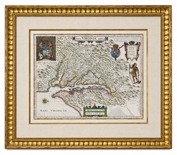
View Piece
Map
Historic Virginia & Chesapeake Bay Map by Willem Blaeu 1635 (custom framed, gold-leaf)
$4,800
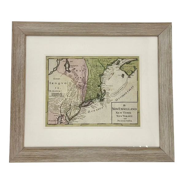
View Piece
Map
1757 Map of New England, New York & New Jersey, Homman Heirs
$575
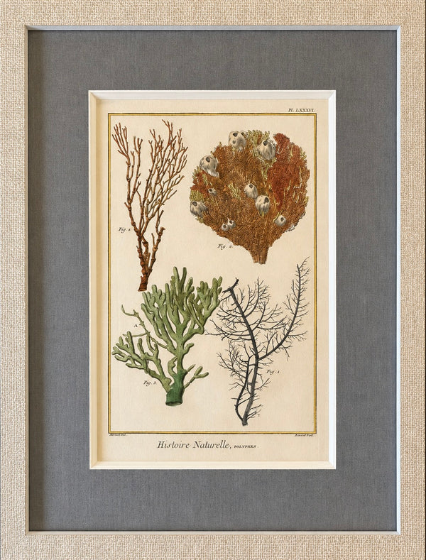
View Piece
Print
Coral & Marine Sea Fans Original Natural History Engraving – Framed Coastal Art, circa 1751
$525