

Map
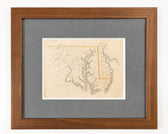
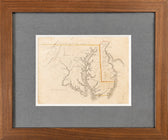
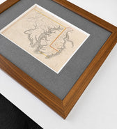
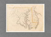
Delaware & Maryland Map by Luke Drury, 1822
$625
Guaranteed Authentic Original
An original hand-colored steel engraving of Maryland and Delaware, drawn by Luke Drury and published in 1822 in the rare educational atlas A Geography for Schools, upon a Plan Entirely New (Plate VIII). This finely engraved map emphasizes the Chesapeake Bay watershed, major rivers, mountains, and early settlements. Original hand coloring highlights the political boundaries of the period, including the Mason-Dixon...
- TypeMap
- AuthenticityDocumented · guaranteed genuine
★Framed by hand in our Ocean View studio — backed by Brandon's 25+ years of custom framing.
● Free delivery throughout coastal Delaware
● In-home hanging available
You May Also Like
— From the Collection —
View Piece
Map
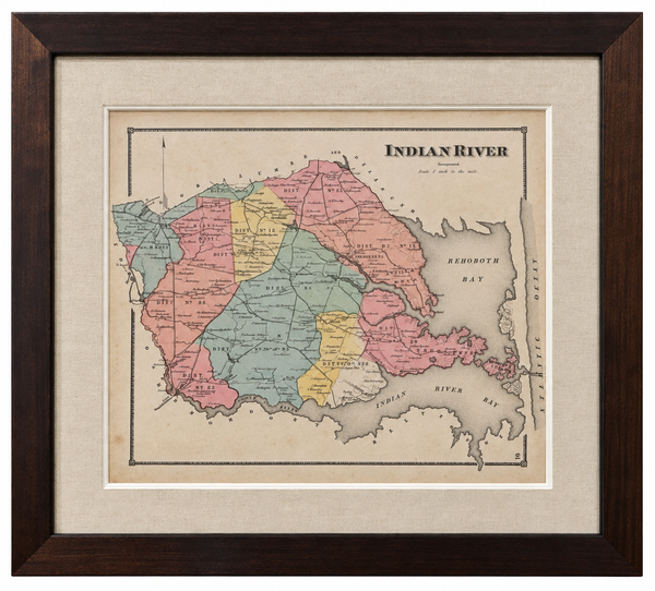
Original Map of Indian River Hundred, Sussex County, Delaware | Pomeroy & Beers, 1868 | Custom Framed
$825

View Piece
Map
Great Lakes and Canada Map — by Guillaume Delisle, Dezauche, Paris, 1783
$1,650

View Piece
Map
Maryland and Virginia Fenwick Island Light to Chincoteague Inlet - 1944 Nautical Map - Custom framed
$925
View Piece
Print
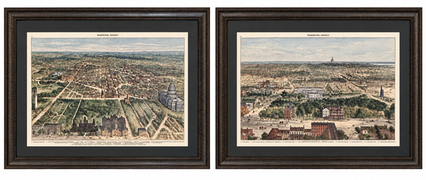
Washington, D.C. and U.S. Capitol from Harper’s Weekly by Theodore R. Davis, 1882 (pair)
$1,700