Shop›Maryland and Virginia Fenwick Island Light to Chincoteague Inlet - 1944 Nautical Map - Custom framed


Map
Maryland and Virginia Fenwick Island Light to Chincoteague Inlet - 1944 Nautical Map - Custom framed
$925
Guaranteed Authentic Original
Original 1944 U.S. Coast and Geodetic Survey nautical chart depicting the Atlantic coastline from Fenwick Island Light south to Chincoteague Inlet, encompassing the coastal waters of Delaware, Maryland, and Virginia. Published in Washington, D.C. during World War II, the chart bears the seal of the Department of Commerce and is an exceptional piece of Eastern Shore and maritime history. Extremely detailed,...
- TypeMap
- AuthenticityDocumented · guaranteed genuine
★Framed by hand in our Ocean View studio — backed by Brandon's 25+ years of custom framing.
● Free delivery throughout coastal Delaware
● In-home hanging available
You May Also Like
— From the Collection —

View Piece
Map
Great Lakes and Canada Map — by Guillaume Delisle, Dezauche, Paris, 1783
$1,650
View Piece
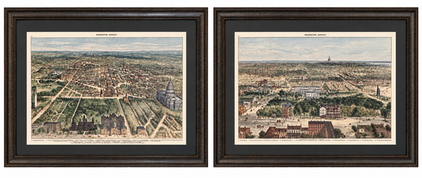
Print
Washington, D.C. and U.S. Capitol from Harper’s Weekly by Theodore R. Davis, 1882 (pair)
$1,700
View Piece
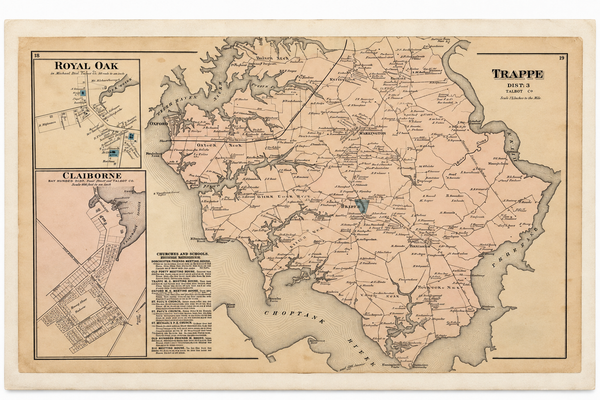
Map
Map of Trappe & Royal Oak, Talbot County, Maryland — Lake, Griffing & Stevenson, 1877
$250
View Piece
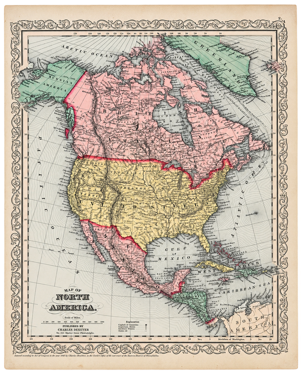
Map
North America Map by Charles DeSilver, 1858
$200