
Map
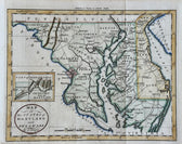
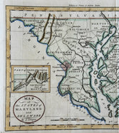
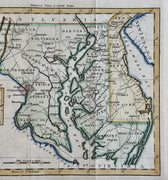
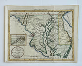
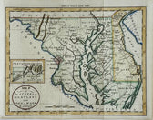
Maryland & Delaware Map by Morse, circa 1796
$525
Guaranteed Authentic Original
Original engraving of Maryland and Delaware, by (Rev.) Jedidiah Morse, from The American Universal Geography, circa 1796. This is the first state of this detailed map, which includes the entire Chesapeake Bay and locates Washington City. At left is an inset, The Western Part of Maryland, that names the Potomack River and several mountain ridges. Counties are named and delineated....
- TypeMap
- AuthenticityDocumented · guaranteed genuine
★Framed by hand in our Ocean View studio — backed by Brandon's 25+ years of custom framing.
● Free delivery throughout coastal Delaware
● In-home hanging available
You May Also Like
— From the Collection —
View Piece
Map
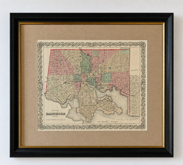
Antique Baltimore, Maryland City Map | Hand-Colored Engraving | Custom Framed
$525
View Piece
Map
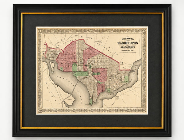
Washington, D.C. & Georgetown Map by A.J. Johnson, Circa 1868, Custom Framed
$550
View Piece
Map
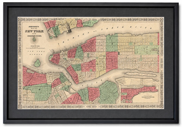
New York City Map by Johnson, Framed (Circa 1864)
$600
View Piece
Map
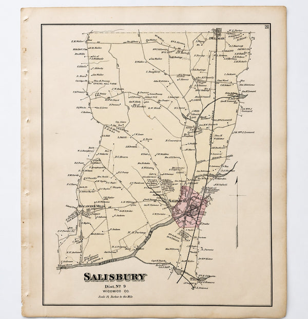
Salisbury, Maryland & Rocawakin Mills, 1877
$150