
Map
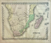
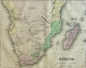
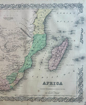
South Africa Map by J. H. Colton, 1855
$125
Guaranteed Authentic Original
Original hand-colored lithograph map of Southern Africa by J. H. Colton. From Colton's Atlas of the World, 1850. Map features various historical states and colonies, including the Cape Colony, Natal, Orange Free State, and the South African Republic (Transvaal). Unframed. Dimensions: 17.25 x 14.5". Condition: Good, light foxing and minor chip on border on upper right corner.
- TypeMap
- AuthenticityDocumented · guaranteed genuine
★Framed by hand in our Ocean View studio — backed by Brandon's 25+ years of custom framing.
● Free delivery throughout coastal Delaware
● In-home hanging available
You May Also Like
— From the Collection —
View Piece
Print
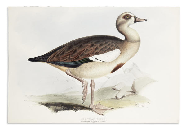
1837 Egyptian Goose John Gould Prints
$1,200
View Piece
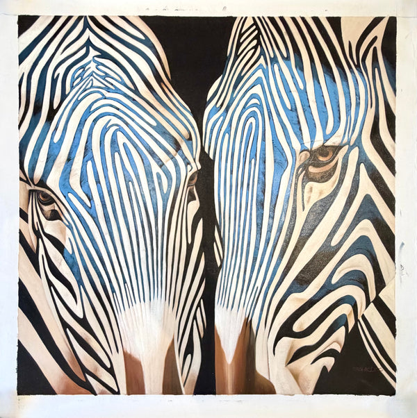
Painting
Contemporary Blue Zebra Double Portrait Painting – Original Oil by P. Charles on Unstretched Canvas, 40" x 40"
$1,800
View Piece
Print
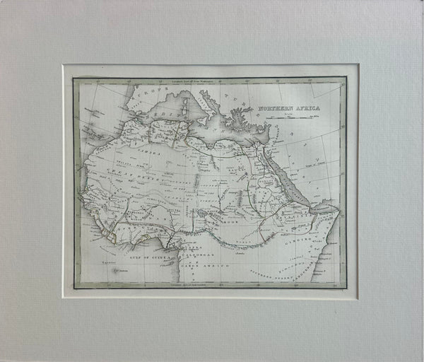
Northern Africa, Original Map by Bradford, 1835
$135
View Piece
Map
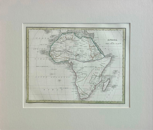
Africa & Madagascar, Original Map by Bradford, 1835
$145