Shop›1773 Chesapeake & Delaware Bay Sea Chart Map – Revolutionary War Era by Mount & Page (Second State)



Map
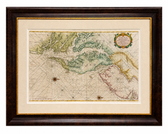
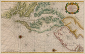
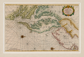
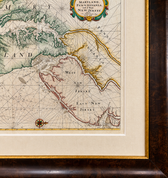
1773 Chesapeake & Delaware Bay Sea Chart Map – Revolutionary War Era by Mount & Page (Second State)
$5,200
Guaranteed Authentic Original
Rare and significant original 1773 English sea chart of the Chesapeake and Delaware Bay region, published by Mount & Page after John Thornton and based ultimately upon the pioneering cartography of Augustine Hermann. This is the second state of the Mount & Page edition, published in the influential English Pilot, Fourth Book—the most widely distributed 18th-century English sea atlas devoted to...
- TypeMap
- AuthenticityDocumented · guaranteed genuine
★Framed by hand in our Ocean View studio — backed by Brandon's 25+ years of custom framing.
● Free delivery throughout coastal Delaware
● In-home hanging available
You May Also Like
— From the Collection —
View Piece
Map
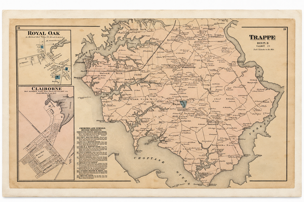
Map of Trappe & Royal Oak, Talbot County, Maryland — Lake, Griffing & Stevenson, 1877
$250
View Piece
Map
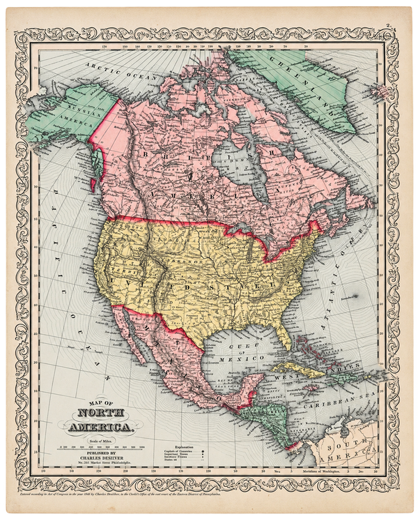
North America Map by Charles DeSilver, 1858
$200
View Piece
Map
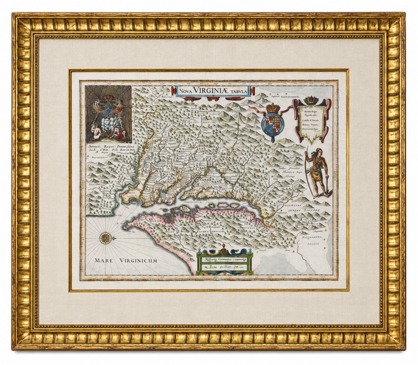
Historic Virginia & Chesapeake Bay Map by Willem Blaeu 1635 (custom framed, gold-leaf)
$4,800
View Piece
Print
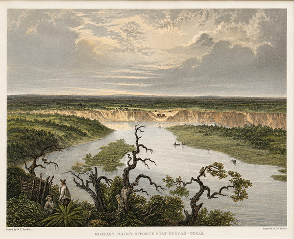
Fort Duncan & Eagle Pass Texas Original Steel Engraving, J.B. Smillie, c. 1860
$75