
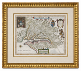
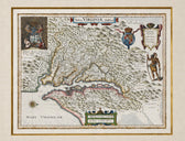


Map
Historic Virginia & Chesapeake Bay Map by Willem Blaeu 1635 (custom framed, gold-leaf)
$4,800
Guaranteed Authentic Original
Willem Blaeu’s historic, original 1635 Nova Virginiae Tabula is one of the most important and influential early maps of Virginia and the Chesapeake Bay. Based upon Captain John Smith’s landmark 1612 mapping, it extends from Cape Henry north to the Susquehanna River and west to the Appalachian Mountains, with the Chesapeake Bay and its major tributaries rendered in remarkable detail. The...
- TypeMap
- AuthenticityDocumented · guaranteed genuine
★Framed by hand in our Ocean View studio — backed by Brandon's 25+ years of custom framing.
● Free delivery throughout coastal Delaware
● In-home hanging available
You May Also Like
— From the Collection —
View Piece
Print
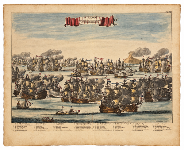
Battle of Agosta (Augusta), Sicily (Mount Etna) | Original Hand-Colored Copperplate Engraving by Daniël Stoopendaal, 1676
$525

View Piece
Map
Great Lakes and Canada Map — by Guillaume Delisle, Dezauche, Paris, 1783
$1,650
View Piece
Print
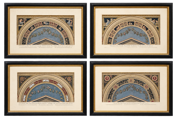
Giovanni Ottaviani Raphael Vatican Loggias Hand-Colored Engravings, Set of 4, circa 1770
$2,400
View Piece
Map
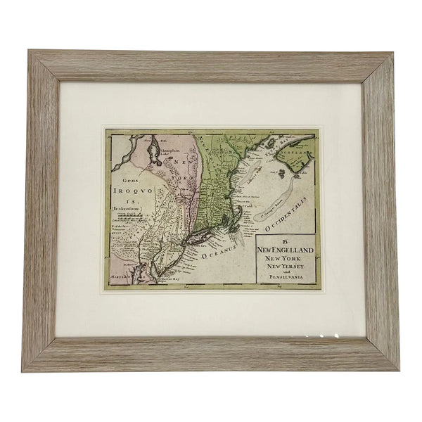
1757 Map of New England, New York & New Jersey, Homman Heirs
$575