SOLD

Map
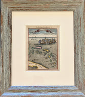
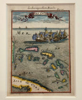
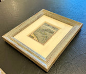
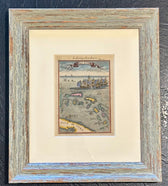
Bahamas Caribbean Coastal Chart by Mallet, 1684 (Framed)
SOLD
This piece has found a home and is no longer available. Ask us about similar pieces →
Guaranteed Authentic OriginalOriginal Copper Engraving by Alain Manesson Mallet from Description de l'Univers Atlas, 1684. This detailed chart depicts the northern Caribbean and the Bahamas. The southeastern coast of Florida and a portion of Cuba are also shown. The sea is intricately engraved, and the map features battling sailing ships and a decorative title cartouche. This map is from a German edition...
- TypeMap
- AuthenticityDocumented · guaranteed genuine
● Free delivery throughout coastal Delaware
● In-home hanging available
You May Also Like
— From the Collection —
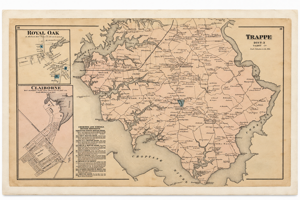
View Piece
Map
Map of Trappe & Royal Oak, Talbot County, Maryland — Lake, Griffing & Stevenson, 1877
$250
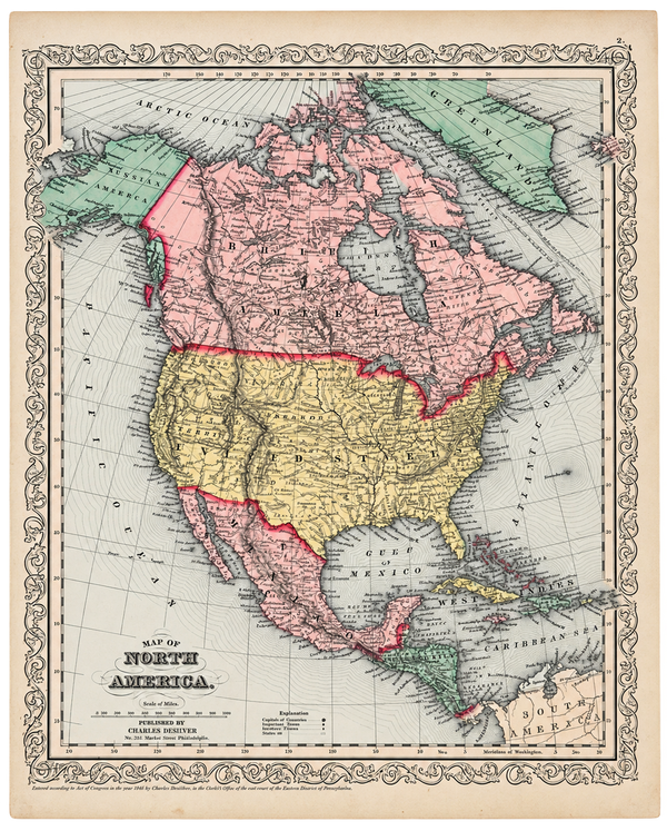
View Piece
Map
North America Map by Charles DeSilver, 1858
$200
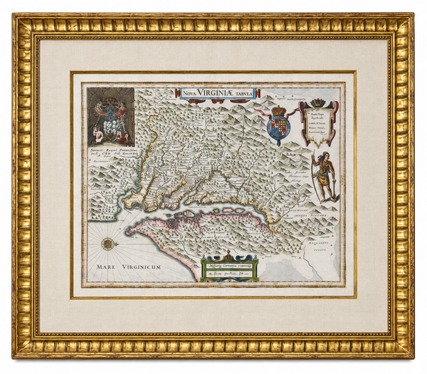
View Piece
Map
Historic Virginia & Chesapeake Bay Map by Willem Blaeu 1635 (custom framed, gold-leaf)
$4,800
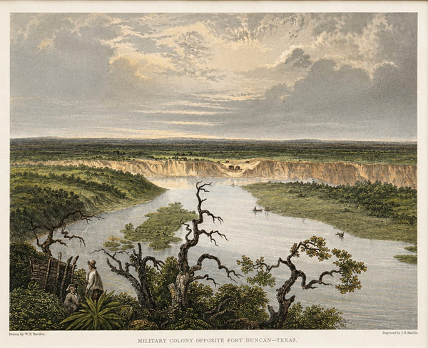
View Piece
Print
Fort Duncan & Eagle Pass Texas Original Steel Engraving, J.B. Smillie, c. 1860
$75