View Piece
Map
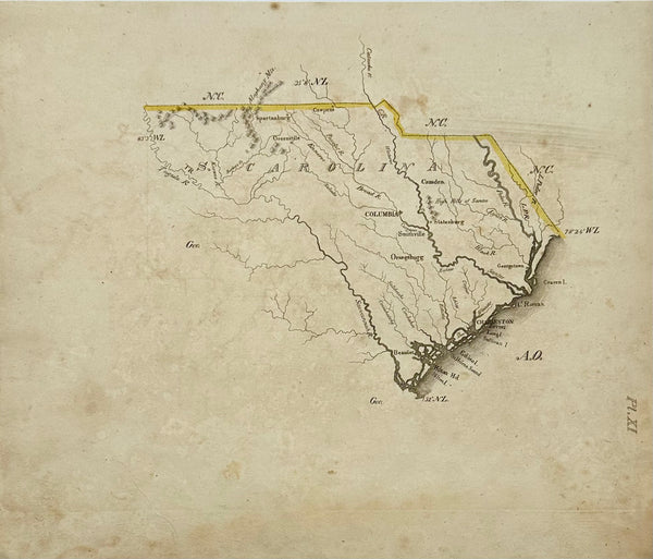
South Carolina Map by Luke Drury, 1822
$375
View Piece
Map
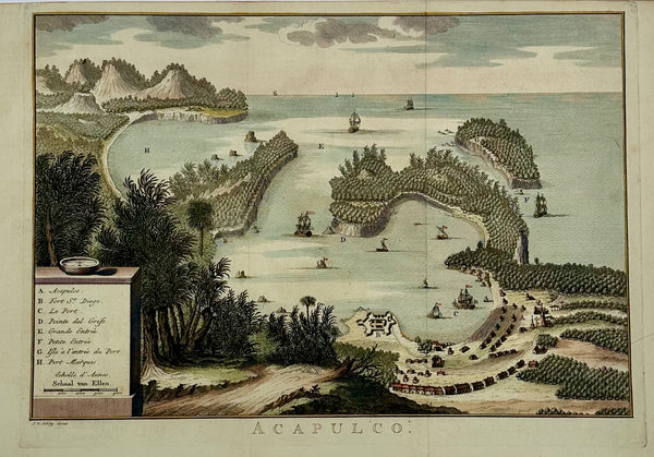
Acapulco, Mexico Original Map by Van der Schley (1762)
$525
View Piece
Map
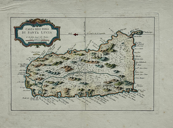
St. Lucia Original map by Jacques Bellin, 1781
$425
View Piece
Map
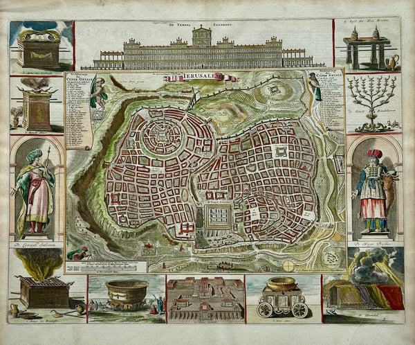
Jerusalem, Original Map by Daniel Stoopendaal, Circa 1710
$825
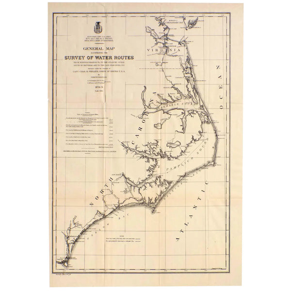
View Piece
Map
Mid Atlantic Survey Chart (Norfolk, Hatteras & Cape Fear), 1878
$125
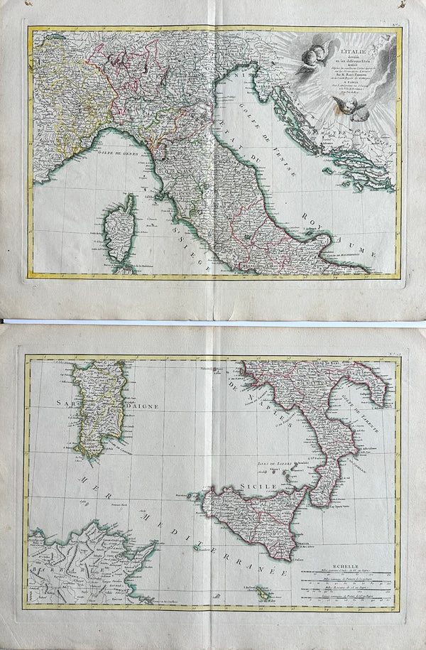
View Piece
Map
Northern & Southern Italy, Original double map by Lattre, 1762
$725
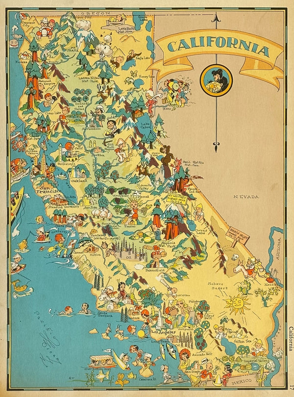
View Piece
Map
Vintage Map of California, 1935
$85
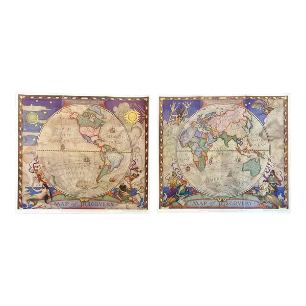
View Piece
Map
Set of 2 Map of Discovery, NC Wyeth, 1928
$975
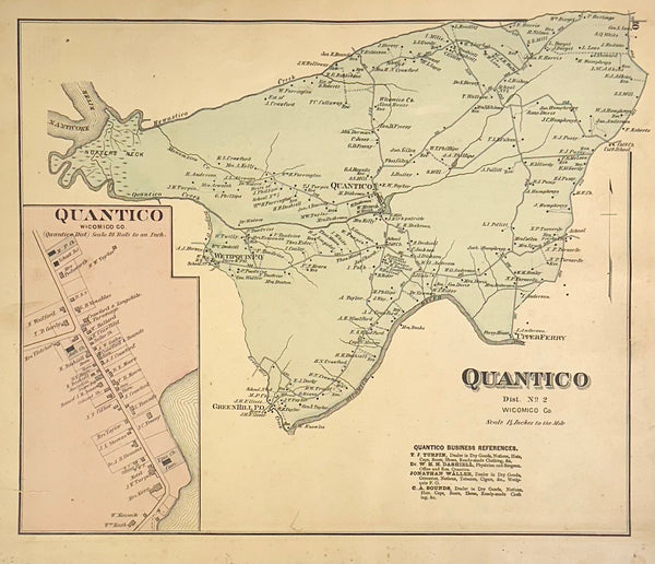
View Piece
Map
Quantico, Upper Ferry & Greenhill Maryland (Wicomico County) Map, 1877
$350
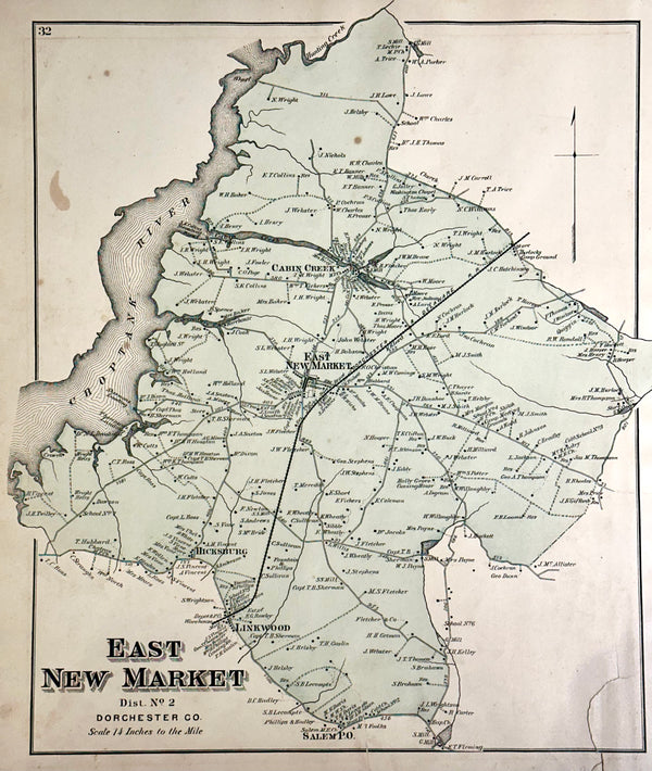
View Piece
Map
New Market & Cambridge (Dorchester County) Maryland Map, 1877
$350
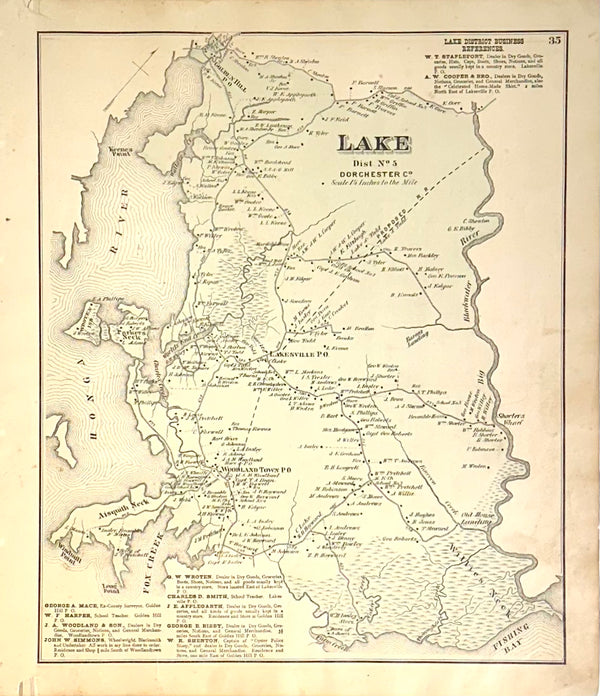
View Piece
Map
Lake Dorcester County Maryland Original map, 1877
$350
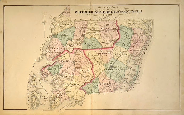
View Piece
Map
Maryland: Wicomico, Somerset & Worcester Counties Original Map, 1877
$450
View Piece
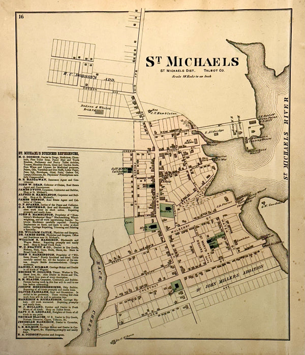
Map
St. Michaels, Talbot County Maryland Original map, 1877
$525
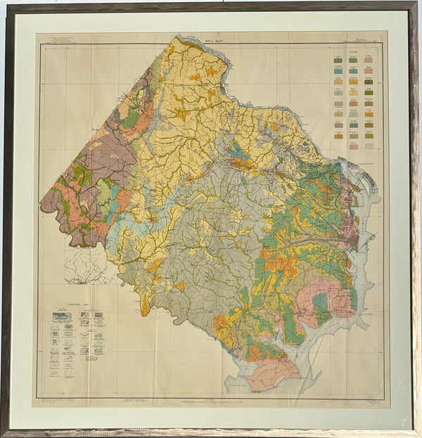
View Piece
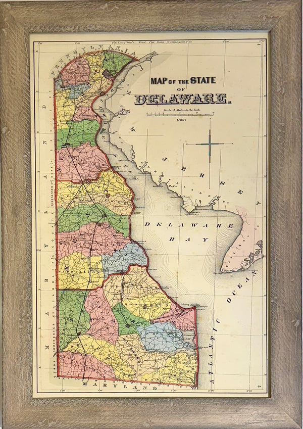
Map
Delaware, after Beers & Pomeroy (framed)
$300
View Piece
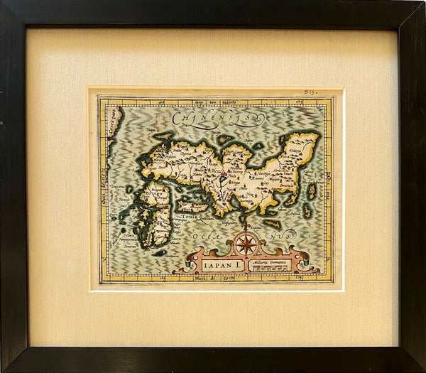
Map
Map of Japan by Hondius, 1607 (framed)
$625
View Piece
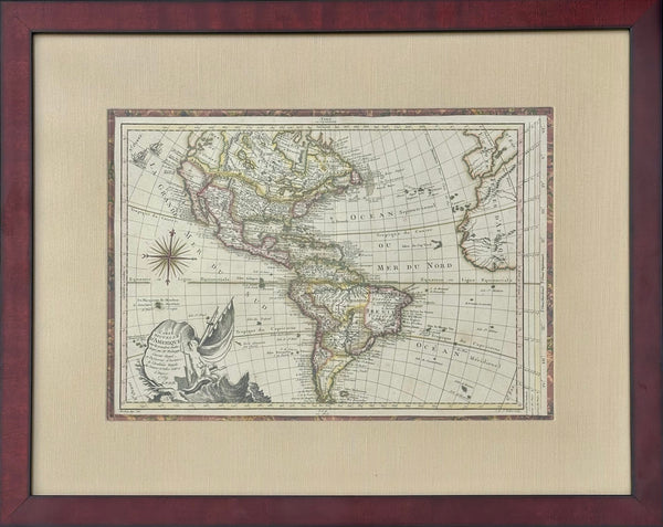
Map
North America Map by Etienne-Andre Philippe De Pretot, 1769 (framed)
$495
View Piece
Map
Virginia: Fairfax & Alexandria Counties Map, 1915 (Framed)
$925
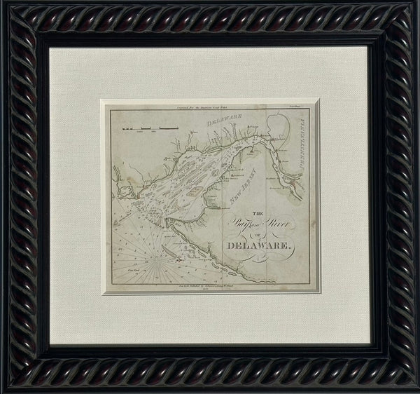
View Piece
Map
Coastal Chart: Bay & River of Delaware by Edmund Blunt, 1833 (framed)
$650
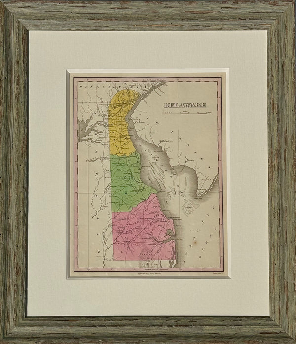
View Piece
Map
Map of Delaware by Matthew Carey, 1805 (framed)
$800
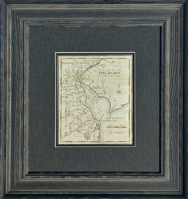
View Piece
Map
Map of Delaware by Anthony Finley, 1824 (framed)
$550
View Piece
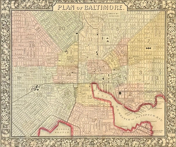
Map
Baltimore, Original Engraving by Samuel Mitchell, 1863
$150
View Piece
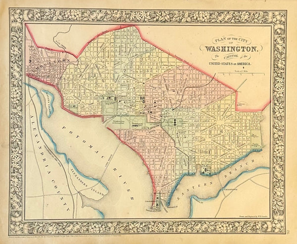
Map
Washington DC by Augustus Mitchell, 1860
$185
View Piece
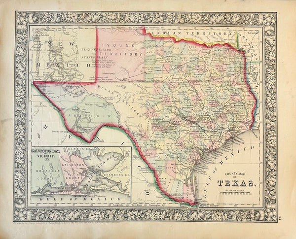
Map
Texas & Galveston Bay Original Engraving by Samuel Mitchell, 1863
$195
View Piece
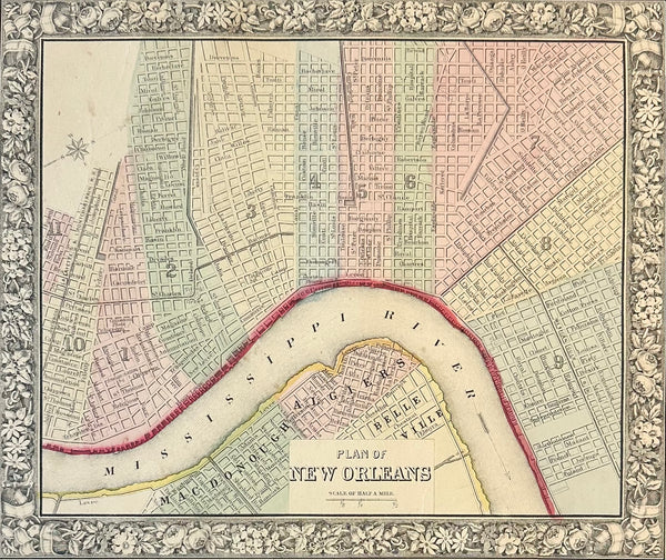
Map
New Orleans, Original Engraving by Samuel Mitchell, 1863
$165