View Piece
Map
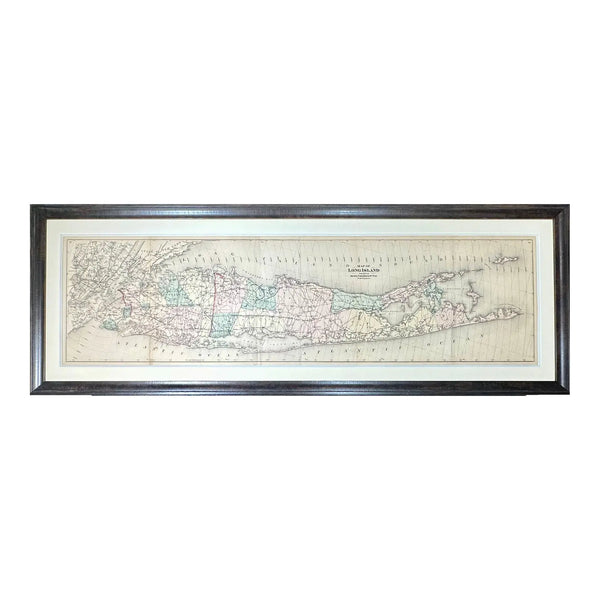
Map of Long Island from Beer's Atlas, 1873 (Framed)
$2,850
View Piece
Map
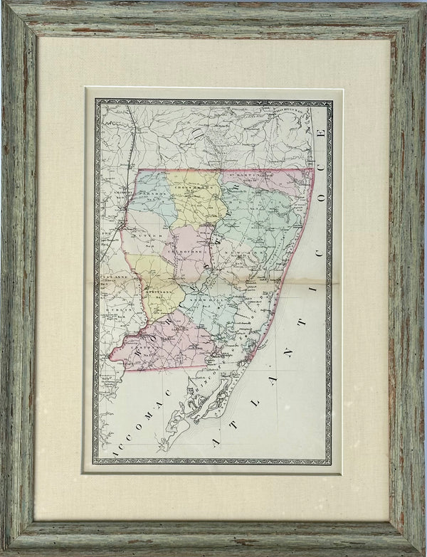
Map of Worcester County, Maryland (Berlin, Assateague, Isle of Wight), 1873
$550
View Piece
Map
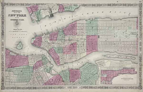
New York City Map by Johnson, 1864
$675
View Piece
Map
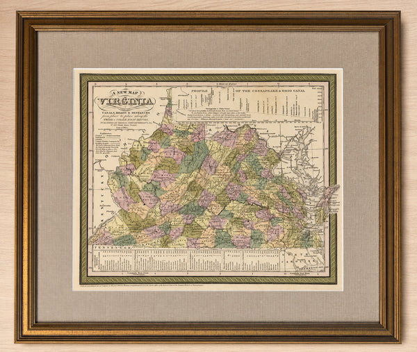
1851 Map of Virginia by Thomas Cowperthwait — Original Hand-Colored Steel Engraving, Custom Framed
$525
View Piece
Map
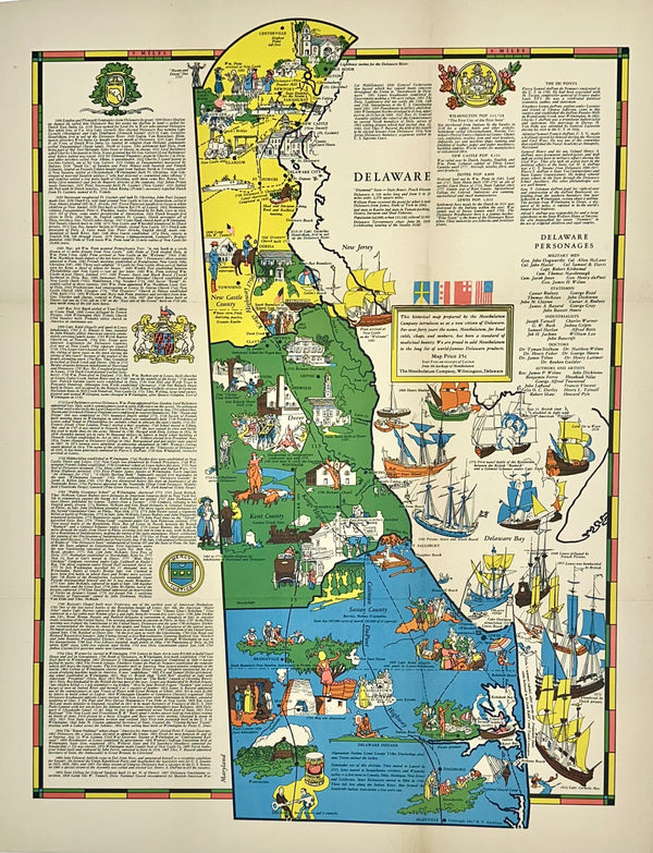
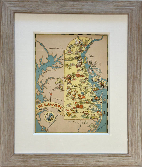
Pictorial Map of Delaware, 1937
$475
View Piece
Map
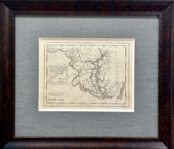
Map of Maryland by Matthew Carey, 1805
$625
View Piece
Map
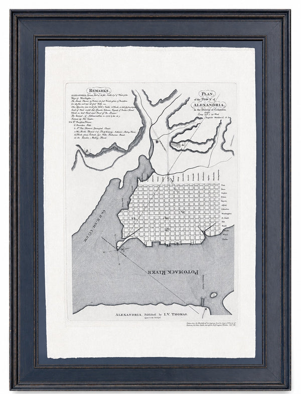
Alexandria, Virginia Town Plan & Potomac River, Framed
$2,600
View Piece
Map
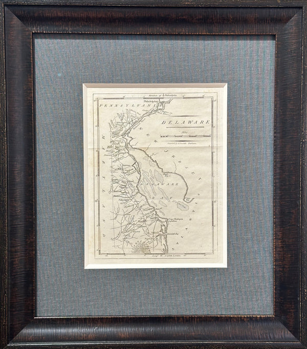
Map of Delaware by Matthew Carey, 1805
$625
View Piece
Map
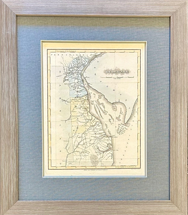
Delaware by Fielding Lucas, 1823
$1,100
View Piece
Map
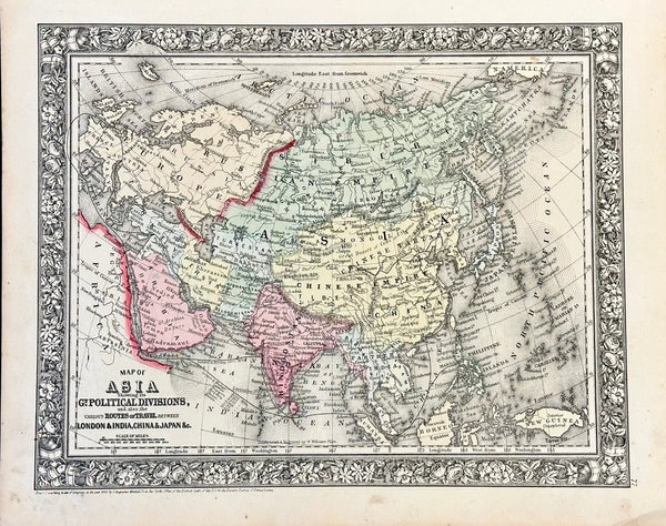
Asia by Samuel Mitchell, 1860
$195
View Piece
Map
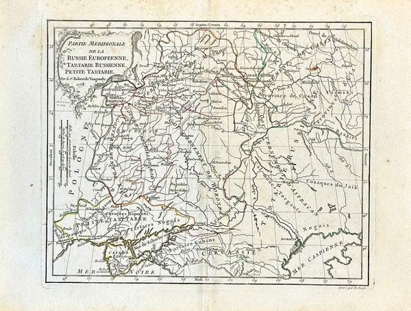
Russia, Ukraine, Petite Tartarie by Robert De Vaugondy, 1778
$325
View Piece
Map
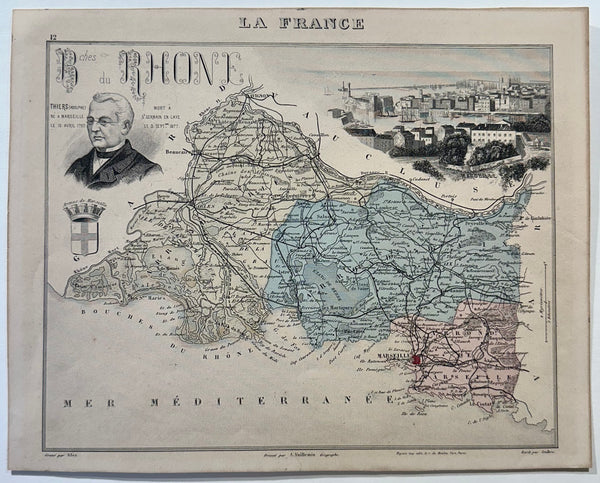
1883 Bouches-Du-Rhone, France
$95
View Piece
Map
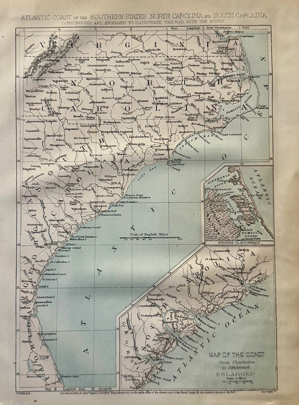
Atlantic Coast & Carolinas, 1863
$85
View Piece
Map
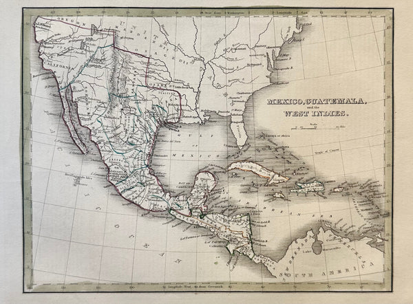
Mexico, Guatemala & West Indies by Bradford, 1830
$150
View Piece
Map
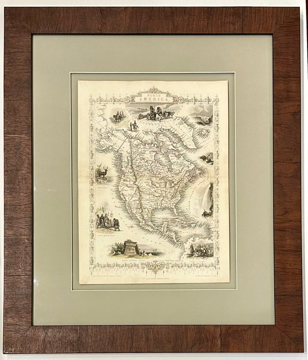
North America Map by Tallis 1851, Framed
$625
View Piece
Print
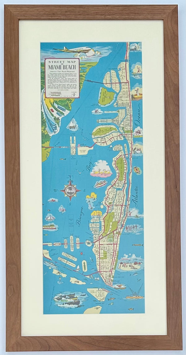
1951 Miami Beach Pictorial Map, Framed
$475
View Piece
Map
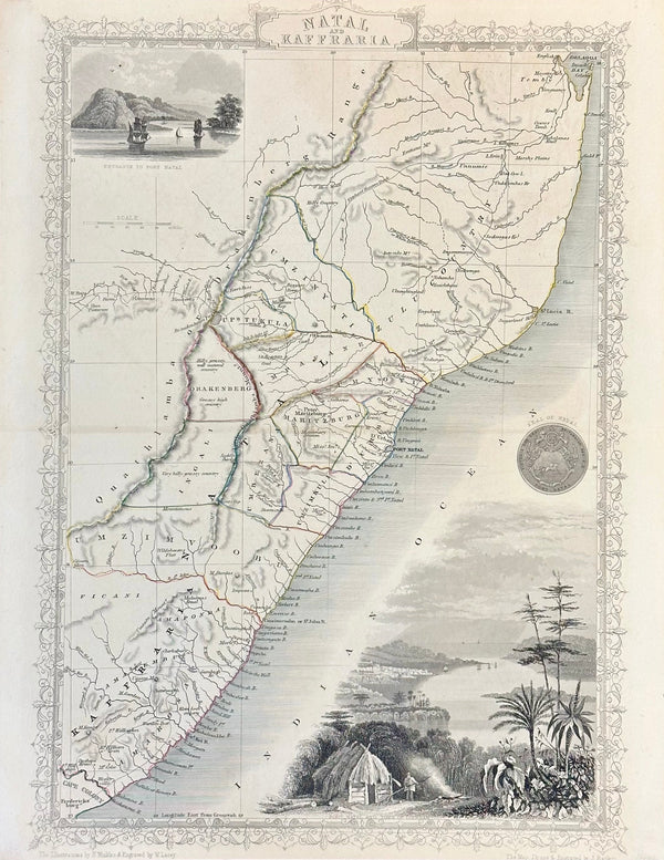
South Africa: Natal & Kaffra by Tallis, circa 1853
$150
View Piece
Map
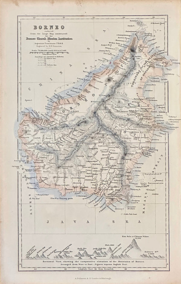
Borneo, Indonesia 1852
$60
View Piece
Map
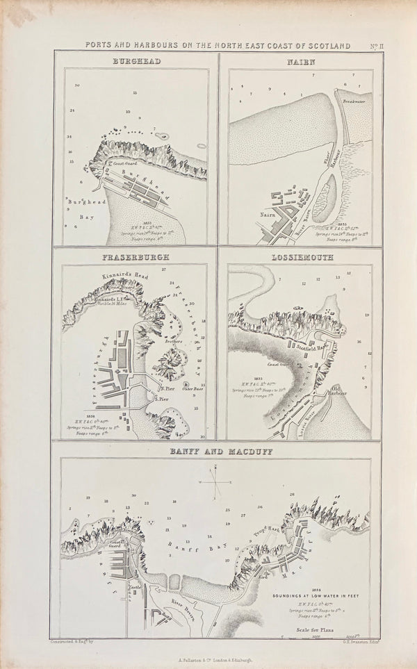
Scotland Ports & Harbors on North East Coast, 1852
$60
View Piece
Map
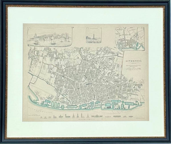
Liverpool, Original Hand Colored Engraving, 1835
$425
View Piece
Map
Vintage Delaware Map, 1935, framed
$325
View Piece
Map
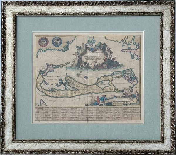
1671 Map of Bermuda by John Ogilby, Framed
$2,100
View Piece
Map
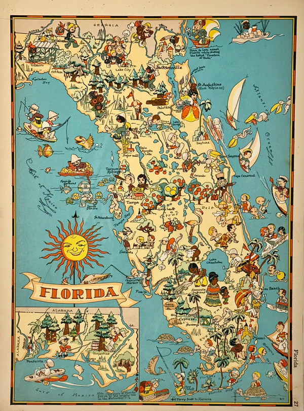
Vintage Map of Florida, 1935
$75
View Piece
Map
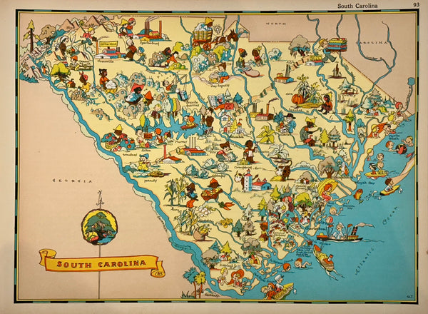
Vintage Map of South Carolina, 1935
$75