
Map
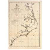
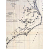
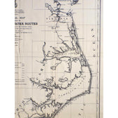
Mid Atlantic Survey Chart (Norfolk, Hatteras & Cape Fear), 1878
$125
Guaranteed Authentic Original
Original engraving features Norfolk Harbor to Atlantic Ocean, South of Hatteras to Cape Fear published in 1878 by Fred Frost. Important map done under the direction of Capt. Chas. B. Phillips, Corps of Eng'rs, U.S.A. by Fredk. W. Frost, C.E., C.P.E. Burgwyn, C.E. Pr. Ass't., 1878-9. Dimensions: 24" x 16"
- TypeMap
- AuthenticityDocumented · guaranteed genuine
★Framed by hand in our Ocean View studio — backed by Brandon's 25+ years of custom framing.
● Free delivery throughout coastal Delaware
● In-home hanging available
You May Also Like
— From the Collection —
View Piece
Map
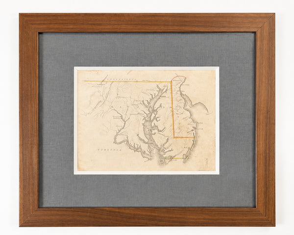
Delaware & Maryland Map by Luke Drury, 1822
$625
View Piece
Map
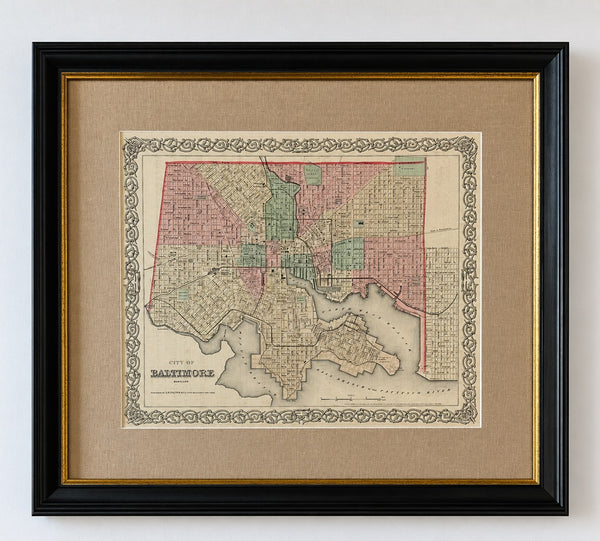
Antique Baltimore, Maryland City Map | Hand-Colored Engraving | Custom Framed
$525
View Piece
Map
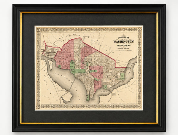
Washington, D.C. & Georgetown Map by A.J. Johnson, Circa 1868, Custom Framed
$550
View Piece
Map
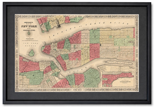
New York City & Brooklyn Map by Johnson, Framed (Circa 1864)
$600