

Map
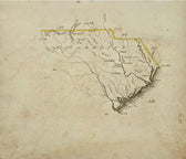
South Carolina Map by Luke Drury, 1822
$375
Guaranteed Authentic Original
An original and unique map was issued in Luke Drury's scarce A Geography for Schools, upon a Plan Entirely New, Consisting of an Analytical Arrangement of All the Great Features of Nature. Details an unsettled border in the west which appears to be the Tugulo [now Tuguloo] River. While the colonial boundary of South Carolina was set as the Savannah...
- TypeMap
- AuthenticityDocumented · guaranteed genuine
★Framed by hand in our Ocean View studio — backed by Brandon's 25+ years of custom framing.
● Free delivery throughout coastal Delaware
● In-home hanging available
You May Also Like
— From the Collection —
View Piece
Map
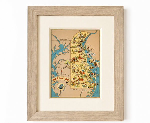
Vintage Delaware Pictorial Map by Taylor, 1935 – Original Custom Framed Map
$395
View Piece
Map
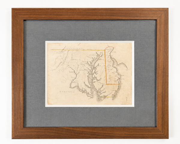
Delaware & Maryland Map by Luke Drury, 1822
$625
View Piece
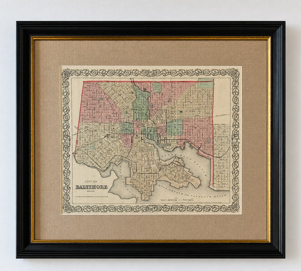
Map
Antique Baltimore, Maryland City Map | Hand-Colored Engraving | Custom Framed
$525
View Piece
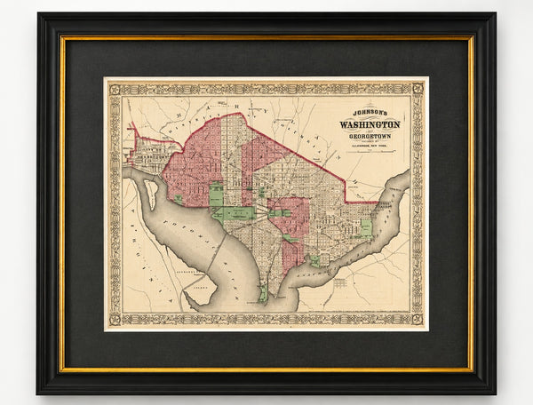
Map
Washington, D.C. & Georgetown Map by A.J. Johnson, Circa 1868, Custom Framed
$550