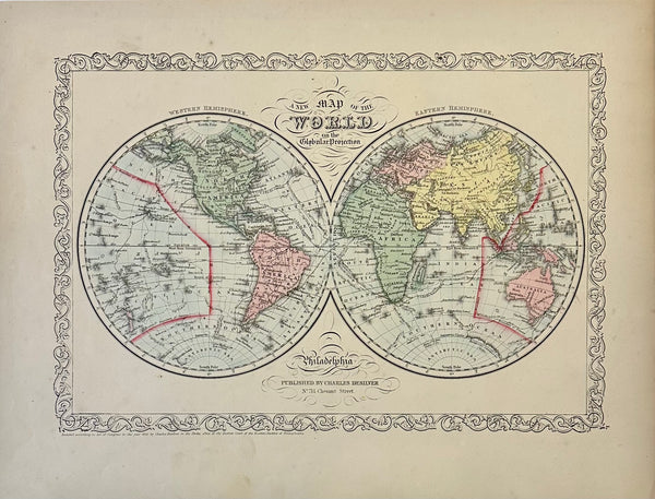
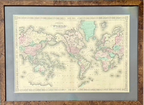
View Piece
Map
Double hemisphere map of the World, by Charles Desilver, 1856
$225
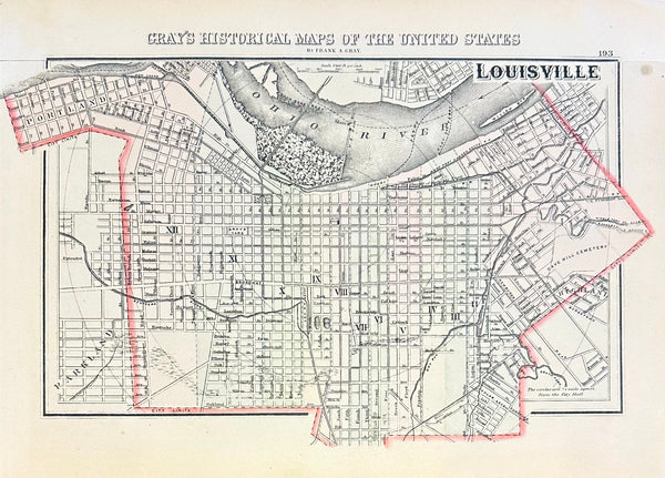
View Piece
Map
Louisville, Kentucky Original Map by Gray, 1856
$150
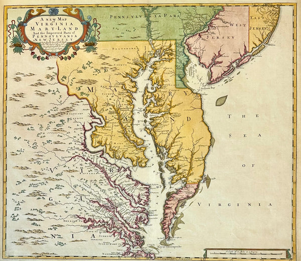
View Piece
Map
Chesapeake Bay: Virginia, Maryland, Pennsylvania & New Jersey Original Map by Senex, 1721
$5,200
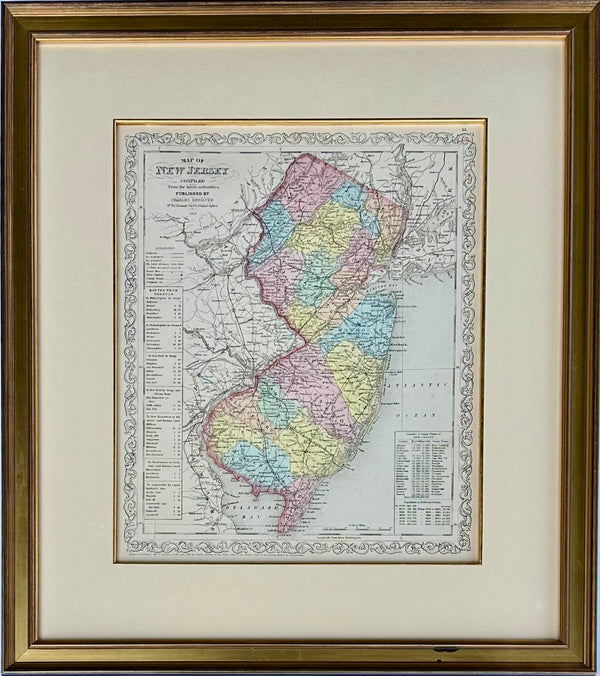
View Piece
Map
Map of New Jersey by Charles Desilver, 1859 (Framed)
$495
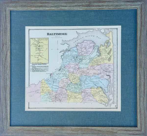
View Piece
Map
Baltimore Hundred in Sussex County, Delaware, Print from Beer's & Pomeroy, Framed
$250
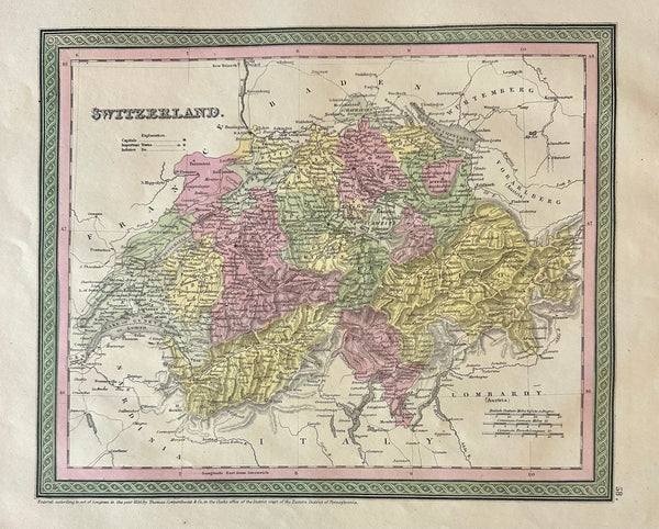
View Piece
Map
Switzerland Original Map by Mitchell, 1846
$125
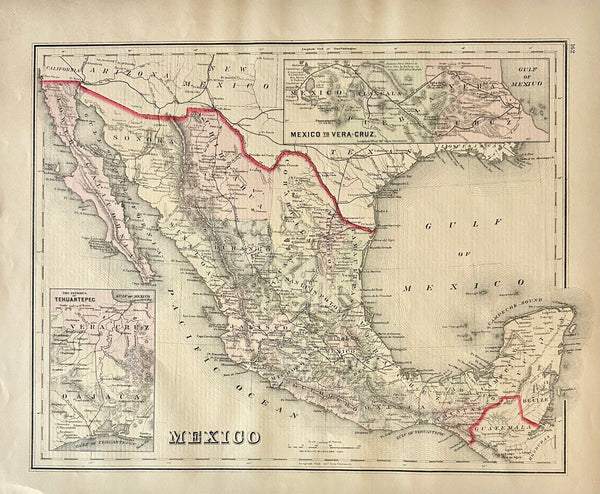
View Piece
Map
Mexico to Vera Cruz and Tehuantepec, Original Map by Gray, 1884
$125
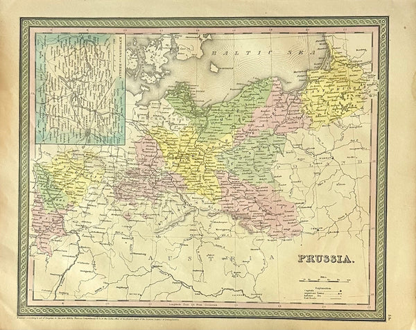
View Piece
Map
Prussia, Germany, Poland With Inset of Berlin Map by Cowperthwait, 1850
$125
View Piece
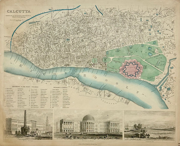
Map
Calcutta India, Original Map, 1834
$165
View Piece
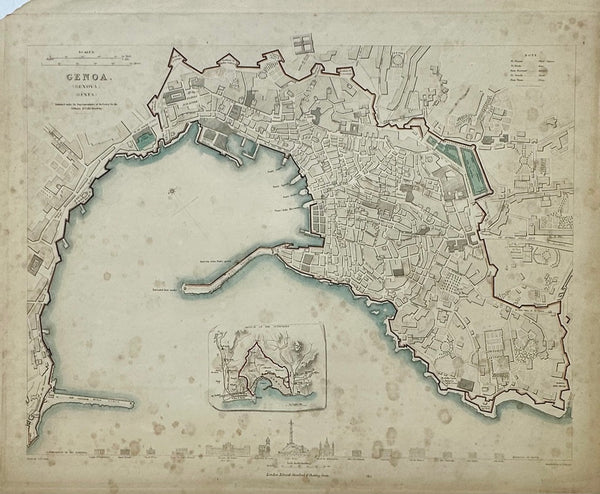
Map
Genoa Italy, Original Map, 1834
$125
View Piece
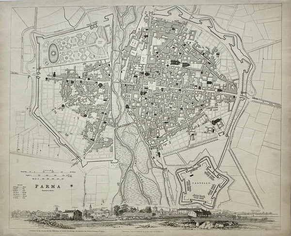
Map
Parma Italy, Original Map, 1834
$145
View Piece
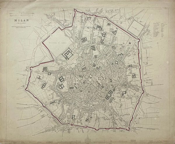
Map
Milan Italy, Original Map, 1834
$125
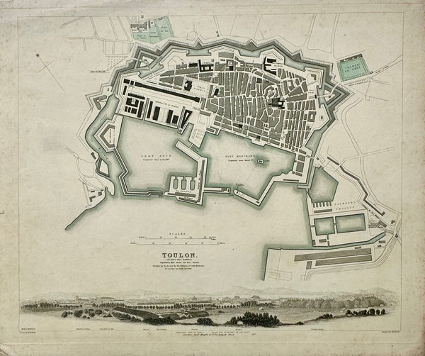
View Piece
Map
Toulon France, Original Map, 1834
$125
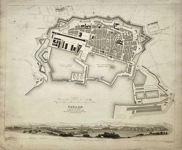
View Piece
Map
Toulon France Original Map, 1834
$125
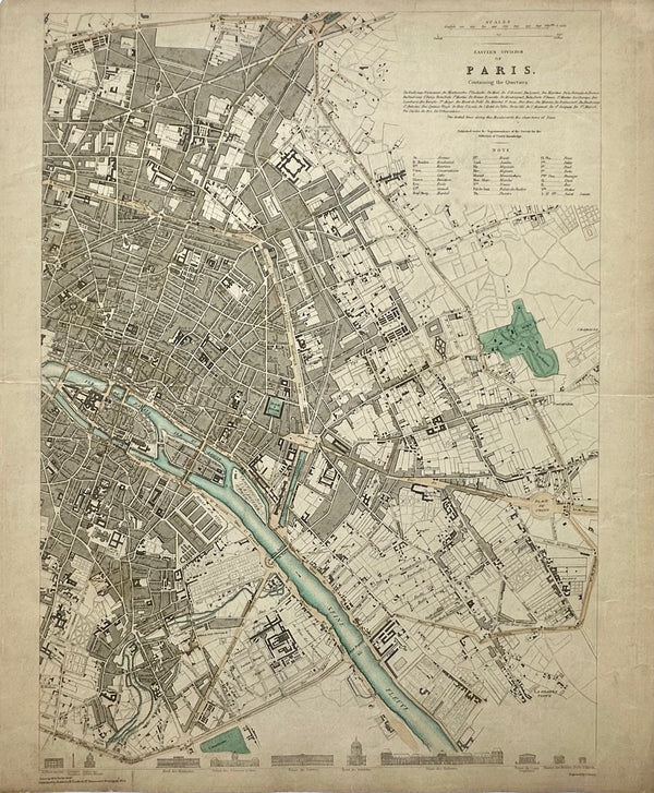
View Piece
Map
Paris, Eastern Division, Original Map, circa 1834
$165
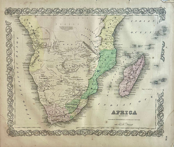
View Piece
Map
South Africa Map by J. H. Colton, 1855
$125
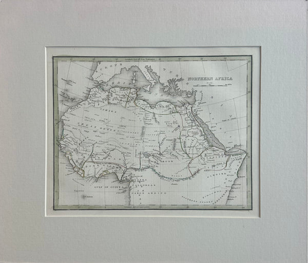
View Piece
Print
Northern Africa, Original Map by Bradford, 1835
$135
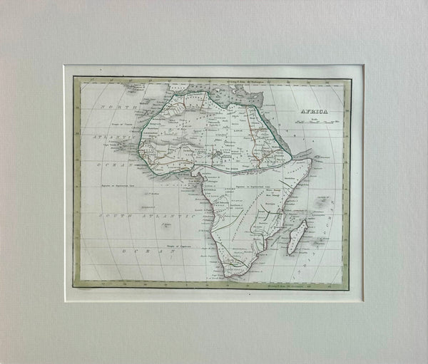
View Piece
Map
Africa & Madagascar, Original Map by Bradford, 1835
$145
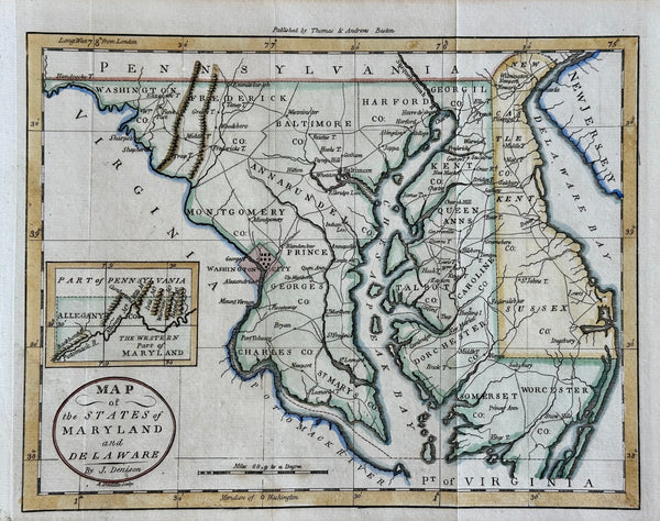
View Piece
Map
Maryland & Delaware Map by Morse, circa 1796
$525
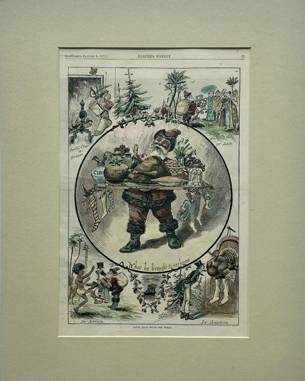
View Piece
Print
Santa Claus Round the World, Original Print, 1877
$175
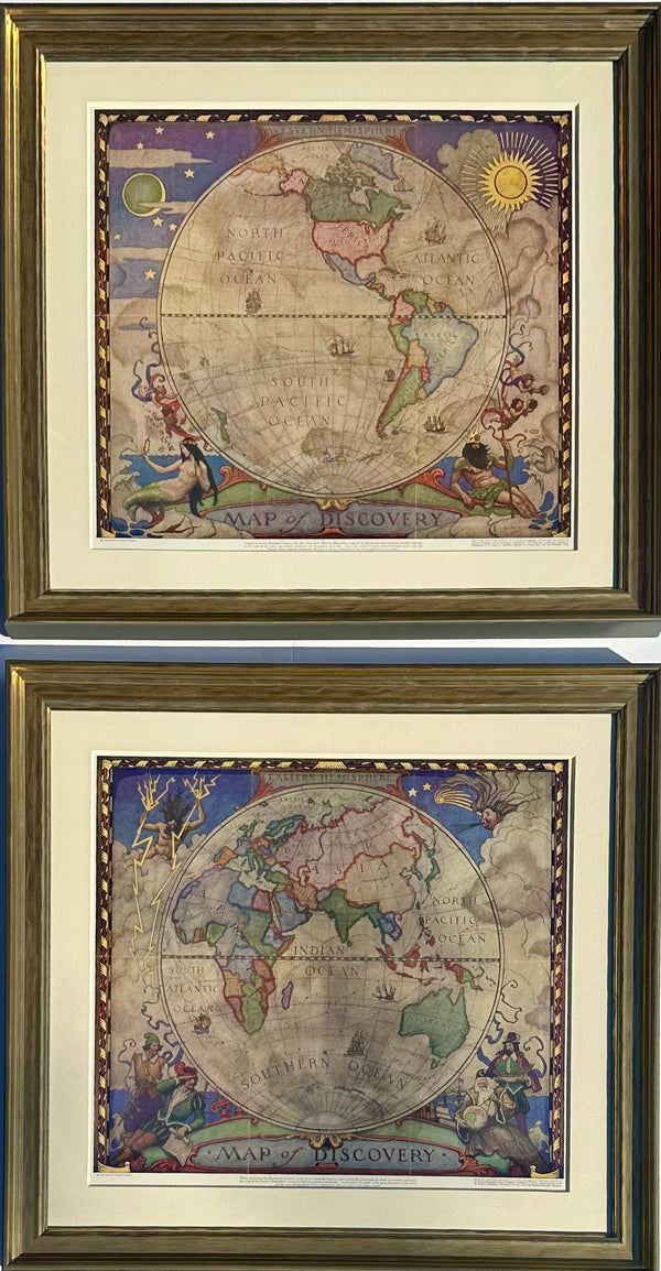
View Piece
Map
Map of Discovery, Nc Wyeth, 1928 (Set of 2, Framed)
$1,800
View Piece
Map
Map of the World on Mercator's Projection by Johnson, 1861
$525
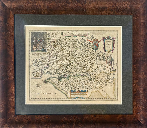
View Piece
Map
Virginia & Chesapeake Bay Map from Capt. John Smith By Willem Blaeu, 1618
$2,850
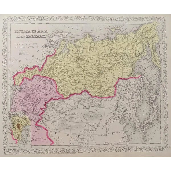
View Piece
Map
Russia, Tartaria and China, Original Map by Mitchell, 1849
$135