
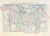
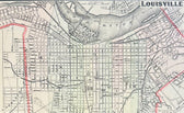
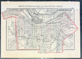
Map
Louisville, Kentucky Original Map by Gray, 1856
$150
Guaranteed Authentic Original
Original steel engraving by O. W. Gray from Gray's National Atlas, Philadelphia. Gray's National Atlas was one of the most successful commercial ventures of the 1870s and one of the last to employ hand coloring on maps. Unframed. Dimensions: 17" x 14" Please note: If you purchase multiple items, we’ll gladly combine shipping—just send us a message. Also, we offer...
- TypeMap
- AuthenticityDocumented · guaranteed genuine
★Framed by hand in our Ocean View studio — backed by Brandon's 25+ years of custom framing.
● Free delivery throughout coastal Delaware
● In-home hanging available
You May Also Like
— From the Collection —
View Piece
Map
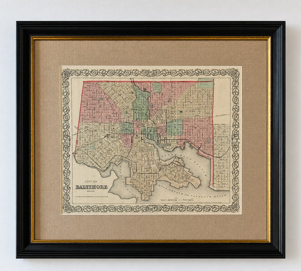
Antique Baltimore, Maryland City Map | Hand-Colored Engraving | Custom Framed
$525
View Piece
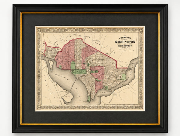
Map
Washington, D.C. & Georgetown Map by A.J. Johnson, Circa 1868, Custom Framed
$550
View Piece
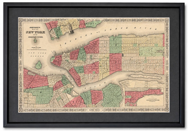
Map
New York City Map by Johnson, Framed (Circa 1864)
$600
View Piece
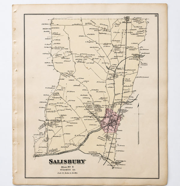
Map
Salisbury, Maryland & Rocawakin Mills, 1877
$150