View Piece
Print
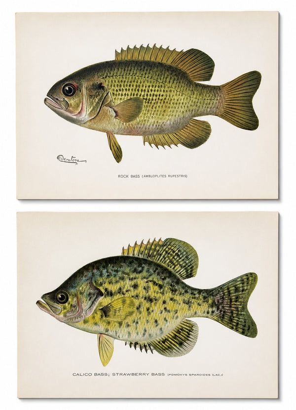
Rock & Calico Bass by Denton, Circa 1903 (S/2)
$150
View Piece
Print
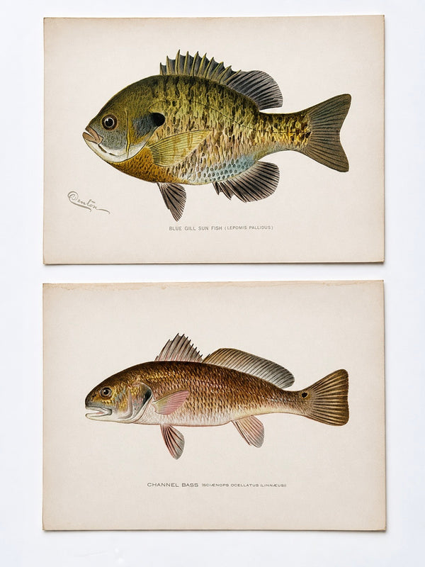
Blue Gill Sunfish & Chanel Bass by Denton, Circa 1903 (S/2)
$150
View Piece
Print
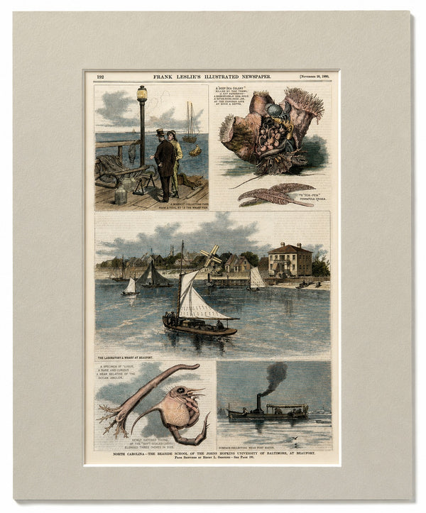
North Carolina—The Seaside School of the Johns Hopkins University of Baltimore, at Beaufort
$125
View Piece
Map
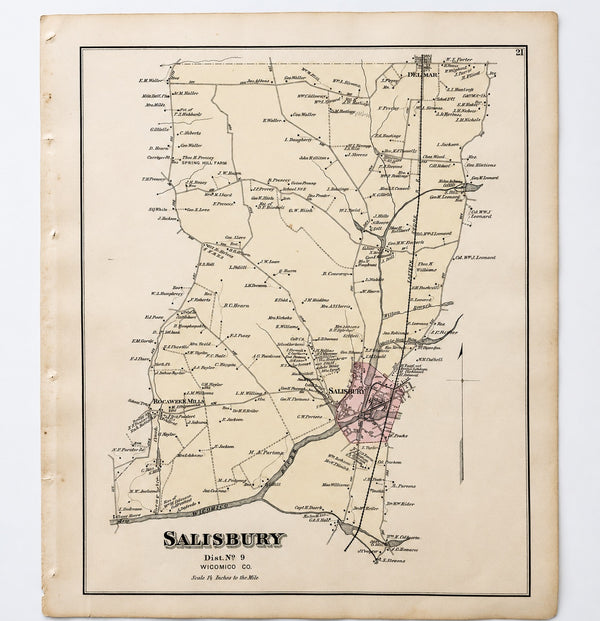
Salisbury, Maryland & Rocawakin Mills, 1877
$150
View Piece
Map
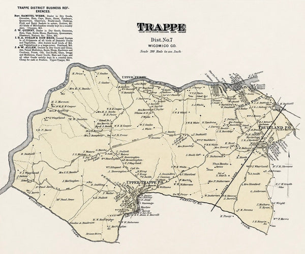
Trappe: Upper Ferry, Shad Point, and Fruitland in Wicomico County, Maryland, 1877
$150
View Piece
Map
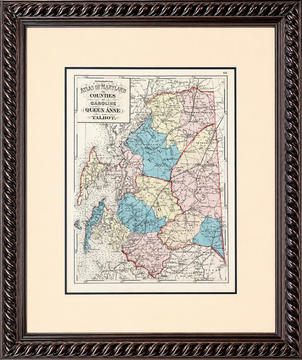
Talbot, Queen Anne & Caroline | Original 1873 Maryland Counties Map – Stedman & Brown
$385
View Piece
Print
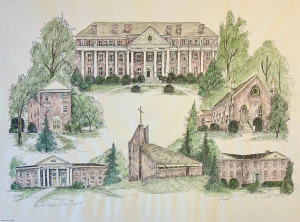
Roanoke College, Salem Virginia Campus Print by Liz Bryant – Hand-Colored Architectural Illustration, 24” x 18”
$125
View Piece
Print
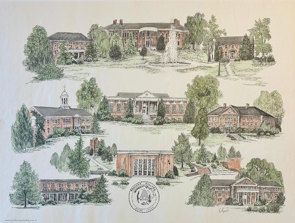
Radford University Virginia Campus Print by Liz Bryant – Hand-Colored Architectural Illustration, 24” x 18”
$125
SOLD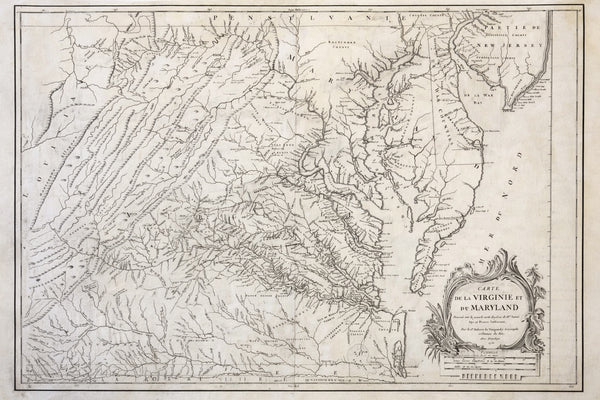
View Piece
Map
1755 Fry & Jefferson Map of Virginia and Maryland — “Carte de la Virginie et du Maryland” (Thomas Jefferson’s Father as Surveyor)
SOLD
View Piece
Print
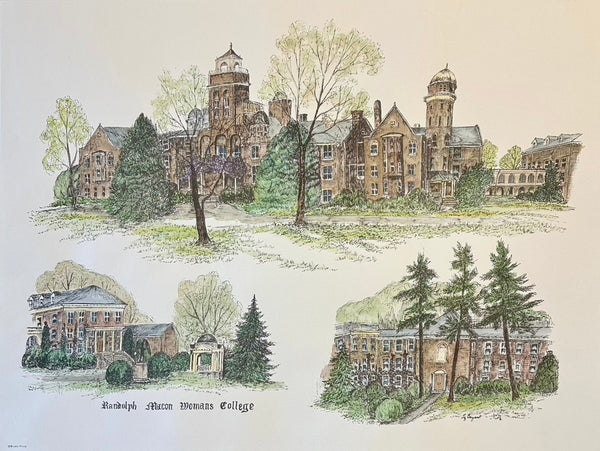
Randolph-Macon College Virginia Campus Print by Liz Bryant – Hand-Colored Architectural Illustration, 24” x 18”
$125
View Piece
Print
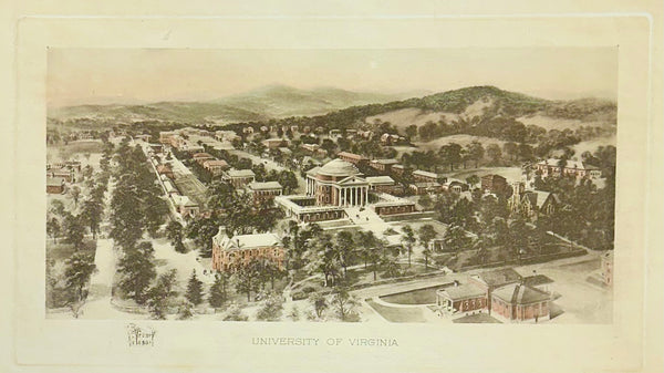
University of Virginia (UVA), Charlottesville After Richard Rummell, c.1913 — Hand-Colored Print
$150
View Piece
Print
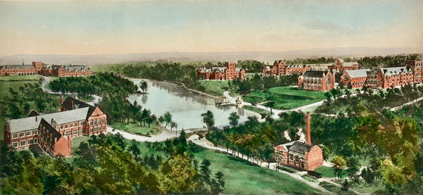
Richmond College After Richard Rummell, c.1913 — Hand-Colored Print
$150
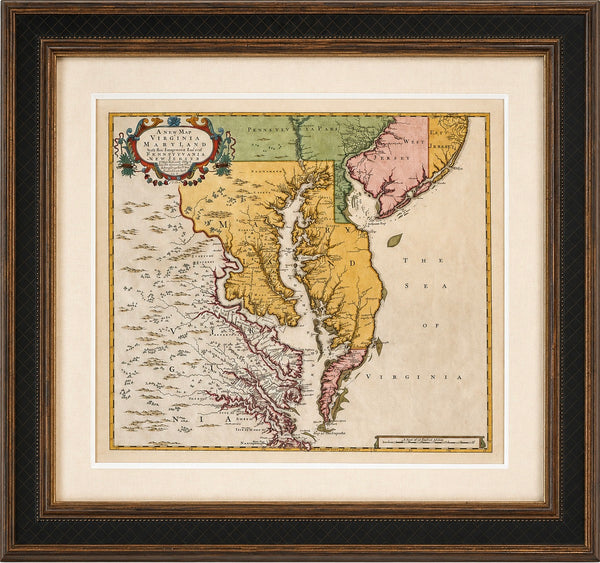
View Piece
Map
Chesapeake Bay: Virginia, Maryland, Pennsylvania & New Jersey Original Map by Senex, 1721
$5,900
SOLD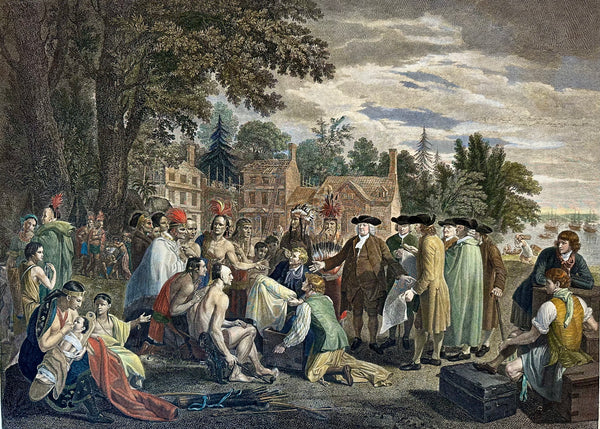
View Piece
Print
William Penn's Treaty with the Indians — Original Hand-Colored Engraving by Hall, circa 1771
SOLD
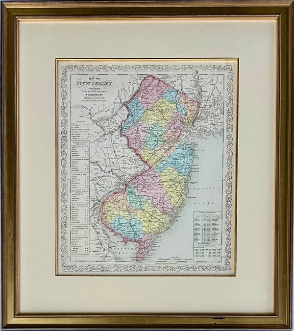
View Piece
Map
Map of New Jersey by Charles Desilver, 1859 (Framed)
$495
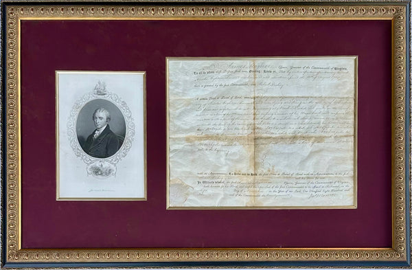
View Piece
Print
James Monroe Signed Virginia Governor Land Grant Document Autograph, c.1800 — Rockingham County
$1,100
View Piece
Map
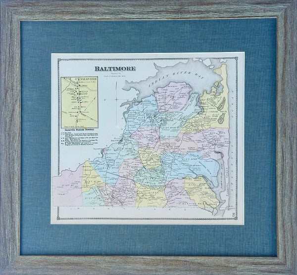
Baltimore Hundred Sussex County Delaware Map | Bethany & Rehoboth Beach | Reproduction from Beers & Pomeroy | Custom Framed
$250
SOLD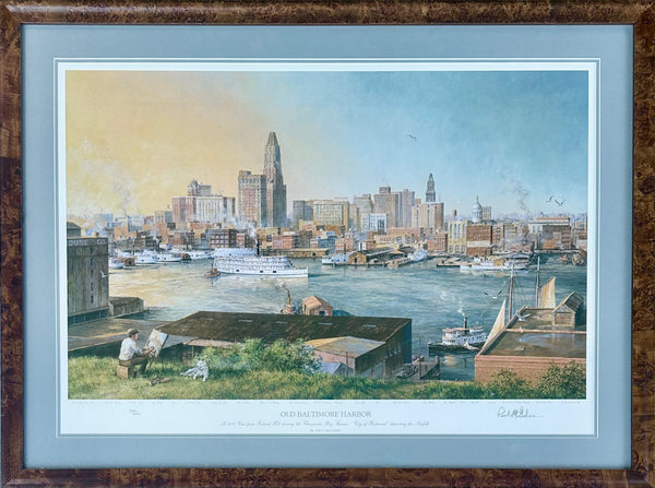
View Piece
Print
Baltimore Harbor from Federal Hill, Framed Limited Edition Print – Signed Paul McGehee
SOLD
View Piece
Print
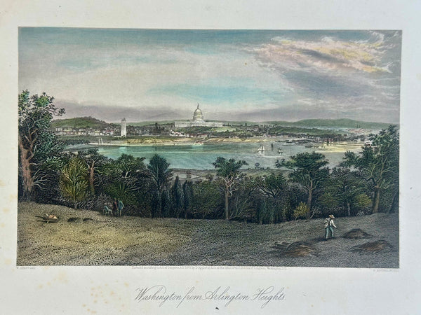
Washington From Arlington Heights, Original Print, 1872
$95
View Piece
Print
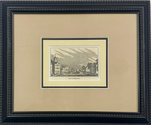
Wytheville, Virginia Original print, 1855 (framed)
$150
View Piece
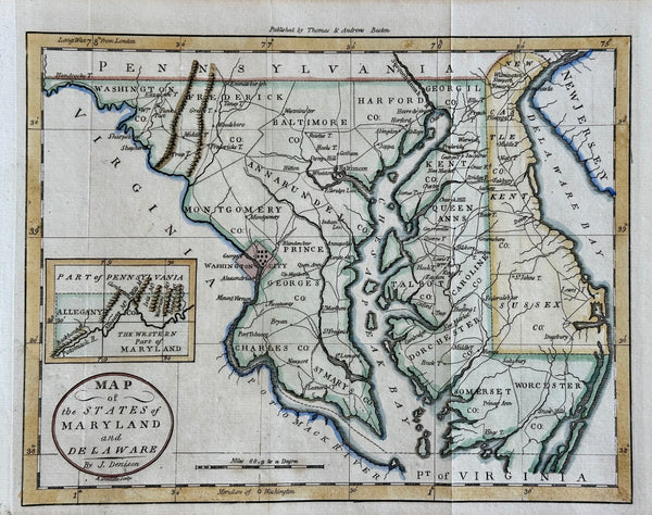
Map
Maryland & Delaware Map by Morse, circa 1796
$525
View Piece
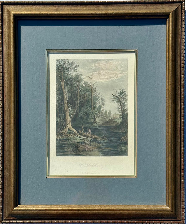
Print
Chicahominy, Virginia Original framed print, 1872
$225
SOLD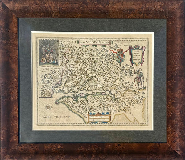
View Piece
Map
Virginia & Chesapeake Bay Map from Capt. John Smith By Willem Blaeu, 1618
SOLD
SOLD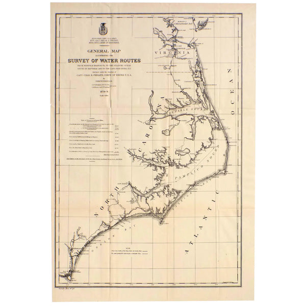
View Piece
Map
Mid Atlantic Survey Chart (Norfolk, Hatteras & Cape Fear), 1878
SOLD