
Map
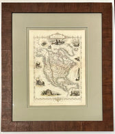
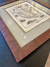
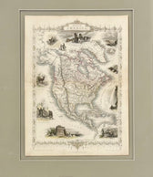
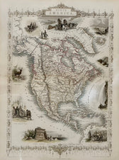
North America Map by Tallis 1851, Framed
$625
Guaranteed Authentic Original
Original hand-colored map of North America by John Tallis, 1851, which covers the area from Panama to the unmapped "Arctic Highlands" of the "Parry Islands" (Queen Elizabeth Islands). The map includes numerous decorative vignettes from all over the continent, as well as Europe and Asia. Including views of Esquimaux, Mount Hekla (in Iceland), beavers, Niagara Falls, a convoy of diamonds in South America,...
- TypeMap
- AuthenticityDocumented · guaranteed genuine
★Framed by hand in our Ocean View studio — backed by Brandon's 25+ years of custom framing.
● Free delivery throughout coastal Delaware
● In-home hanging available
You May Also Like
— From the Collection —
View Piece
Map
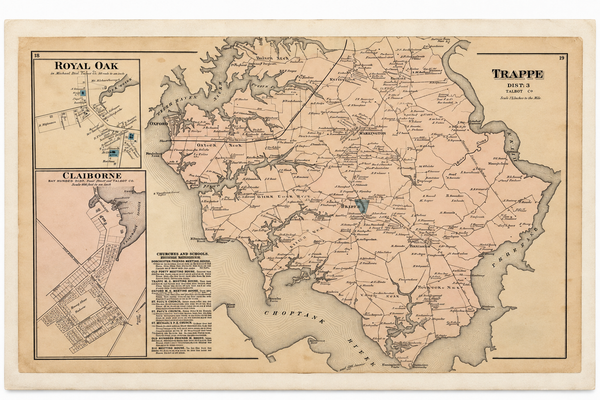
Map of Trappe & Royal Oak, Talbot County, Maryland — Lake, Griffing & Stevenson, 1877
$250
View Piece
Map
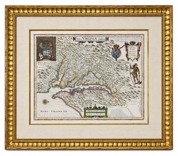
Historic Virginia & Chesapeake Bay Map by Willem Blaeu 1635 (custom framed, gold-leaf)
$4,800
View Piece
Print
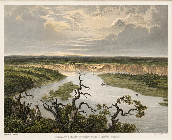
Fort Duncan & Eagle Pass Texas Original Steel Engraving, J.B. Smillie, c. 1860
$75
SOLD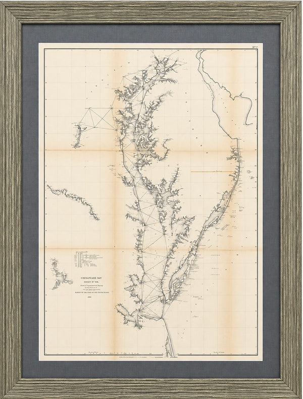
View Piece
Map
1856 U.S. Coast Survey Map of Chesapeake Bay & Delaware Bay – A.D. Bache Antique Nautical Chart
SOLD