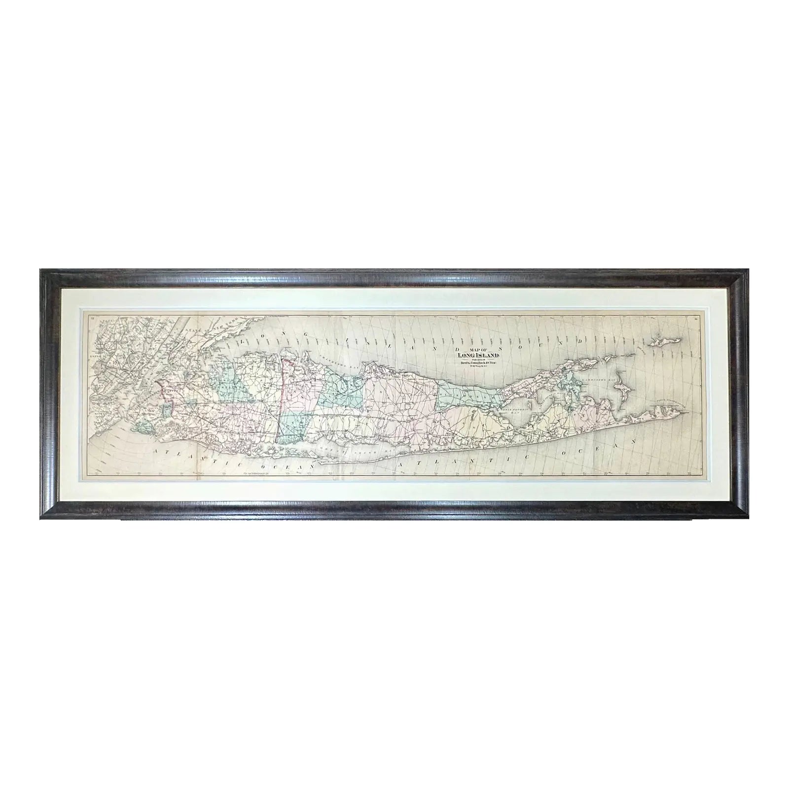
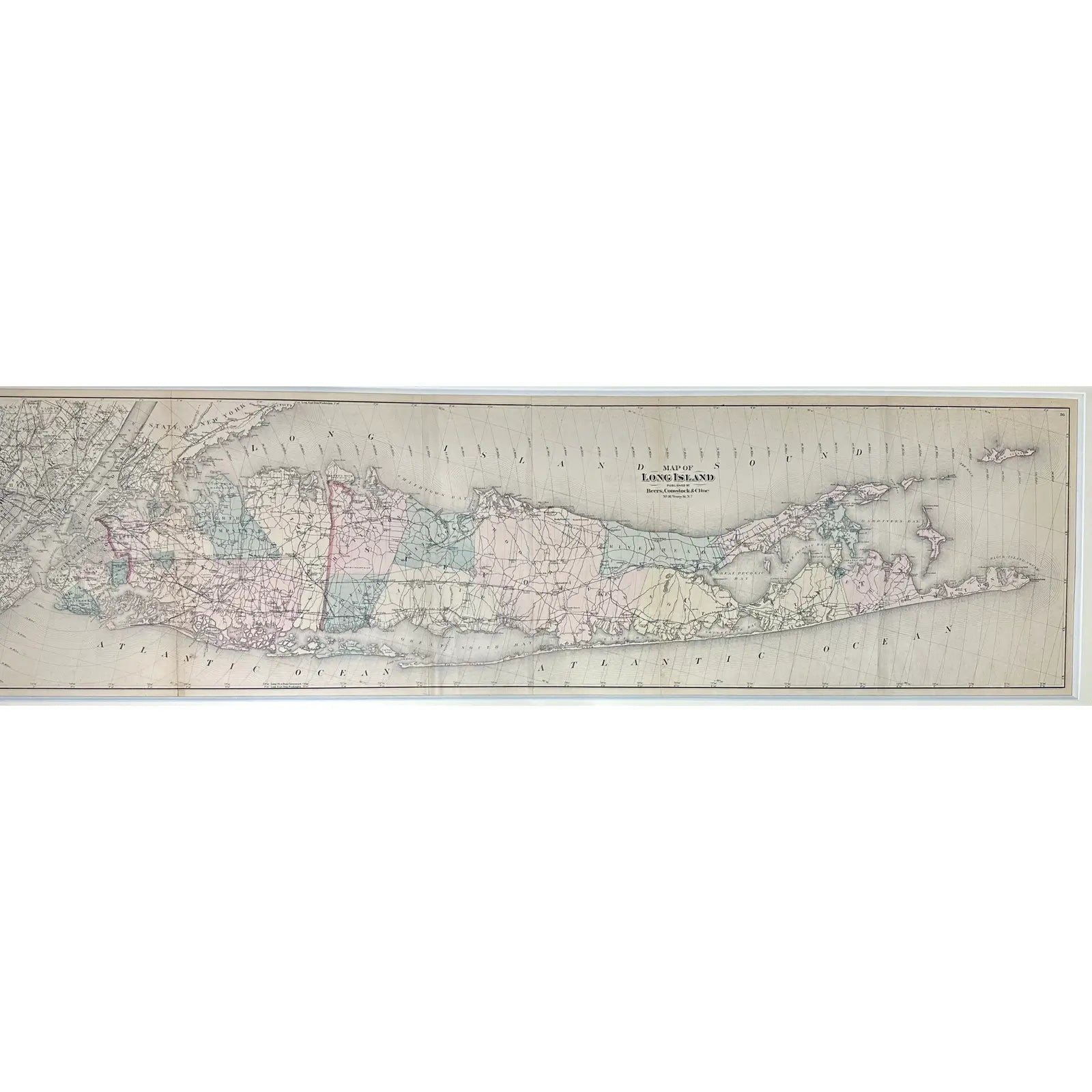
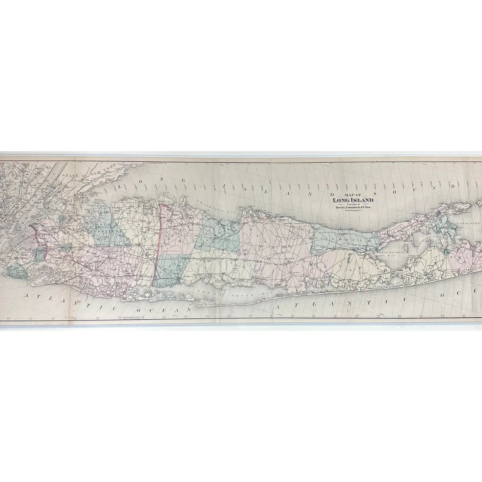
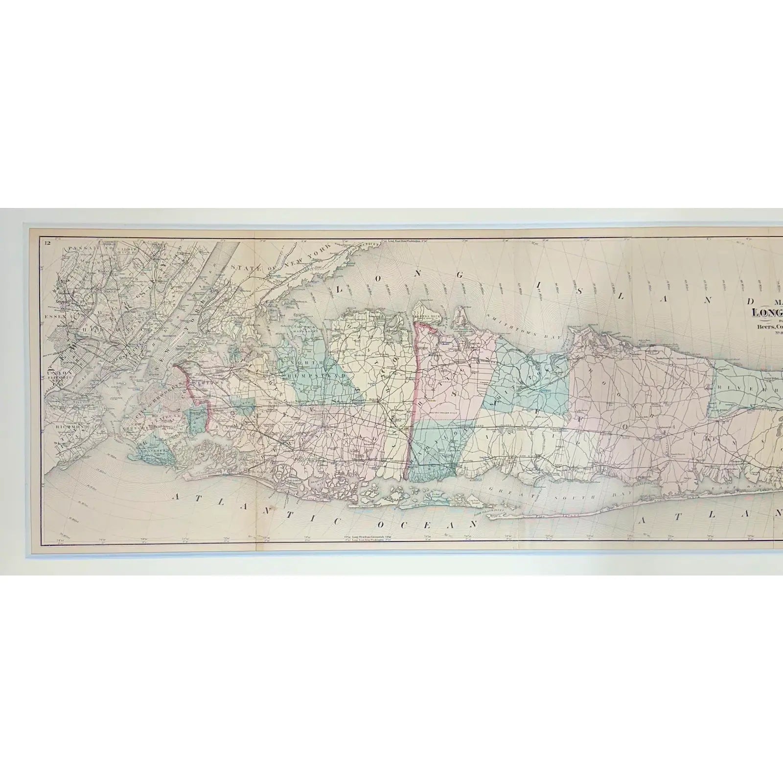
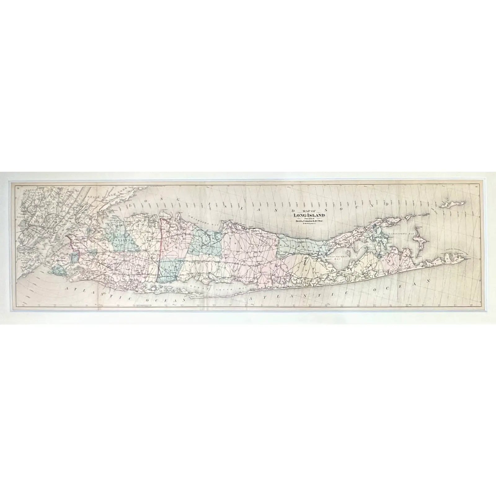
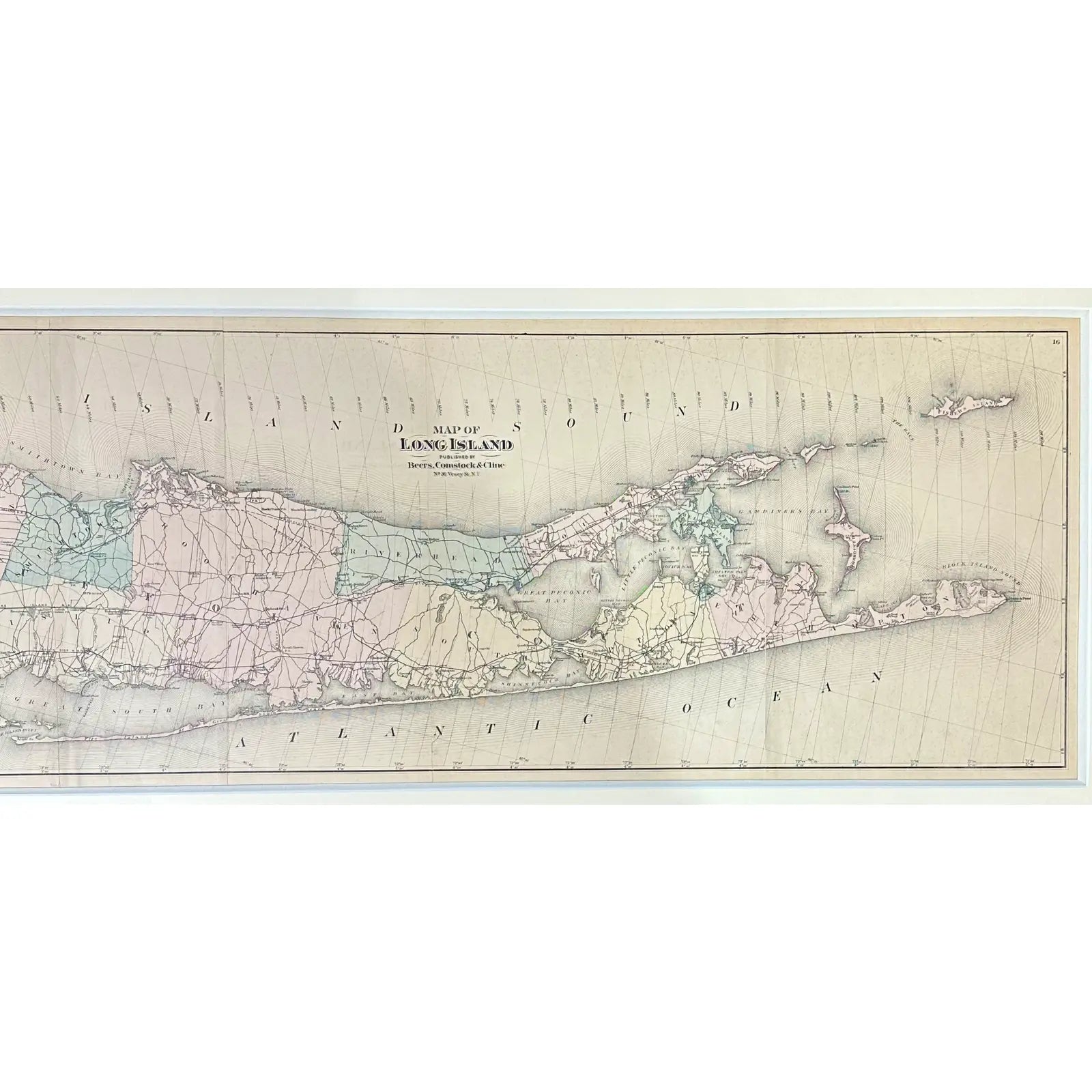
Rare original map of Long Island from Beer’s Atlas of Long Island by Beers, Comstock, & Cline, 1873. This map effectively showcases Long Island and its surroundings, including New York City, parts of New Jersey and Connecticut, and the mouth of the Hudson River. Key locations such as Brooklyn, Staten Island, Newark, Jersey City, Manhattan, Central Park, Manhasset, the Hamptons, and Montauk are marked, with concentric circles indicating distances from central Manhattan.
Longitude is indicated using both the Greenwich and Washington meridians. Beers, Comstock & Cline was a leading map publishing partnership in the late 19th century, known for their precise and high-quality maps of states, counties, and cities, including detailed street layouts and property boundaries.
Custom framed in UV-resistant glass and a custom wood frame. Dimensions: 59 1/4 x 20 3/4”