SOLD

Map
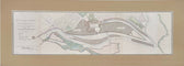
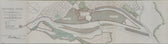
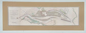
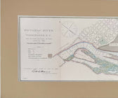
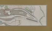
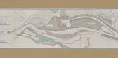
Potomac River, Original Coastal Chart, 1885
SOLD
This piece has found a home and is no longer available. Ask us about similar pieces →
Guaranteed Authentic OriginalOriginal engraving of the Potomac River & Engineering Diagram, June 30, 1888. Overseen by the Major of Engineers, Peter C. Hains and published by the United States Army Corps of Engineers. Map features Alexander's Island, Analostan Island and Giesboro Point. Unframed. Dimensions: 32 x 11.5"
- TypeMap
- AuthenticityDocumented · guaranteed genuine
● Free delivery throughout coastal Delaware
● In-home hanging available
You May Also Like
— From the Collection —
View Piece
Map
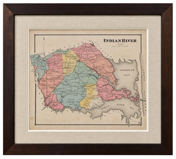
Original Map of Indian River Hundred, Sussex County, Delaware | Pomeroy & Beers, 1868 | Custom Framed
$825

View Piece
Map
Great Lakes and Canada Map — by Guillaume Delisle, Dezauche, Paris, 1783
$1,650

View Piece
Map
Maryland and Virginia Fenwick Island Light to Chincoteague Inlet - 1944 Nautical Map - Custom framed
$925
View Piece
Print
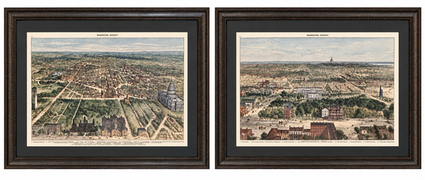
Washington, D.C. and U.S. Capitol from Harper’s Weekly by Theodore R. Davis, 1882 (pair)
$1,700