279 results for “map”
View Piece
Print
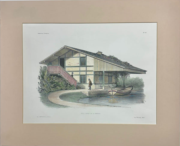
Petit Chalet De La Verrerie Original Lithograph, 1860
$95

View Piece
Print
Exchange building in New York City, Original Print, 1850
$85
SOLD

View Piece
Print
Study of Crustaceans, 1886
SOLD
View Piece
Print
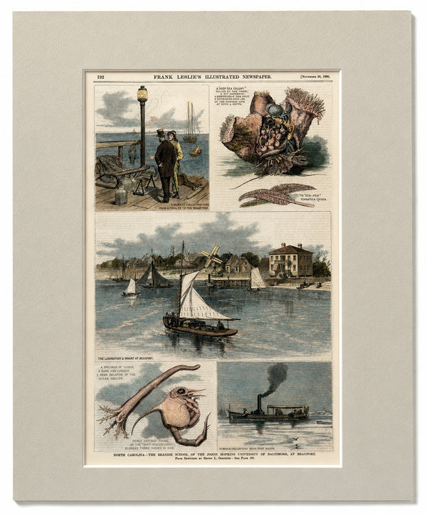
North Carolina—The Seaside School of the Johns Hopkins University of Baltimore, at Beaufort
$125

View Piece
Print
Smith College Engraving, After Richard Rummell, c.1913 — Hand-Colored Print Wove Paper
$150
View Piece
Print
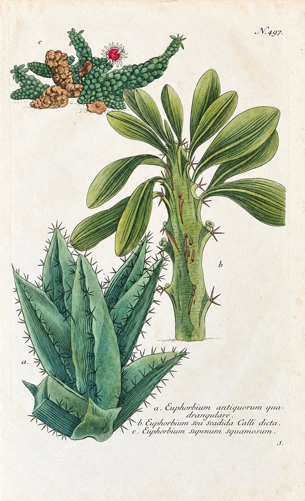
1737 Weinmann Succulent Spurge Botanical Print - Phytanthoza Iconographia Plate 497
$250

View Piece
Print
Curtis Melaleuca Botanical Engraving, 1817
$95

View Piece
Print
Border Collie Dog by Cecil Aldin, 1928
$65
View Piece
Print
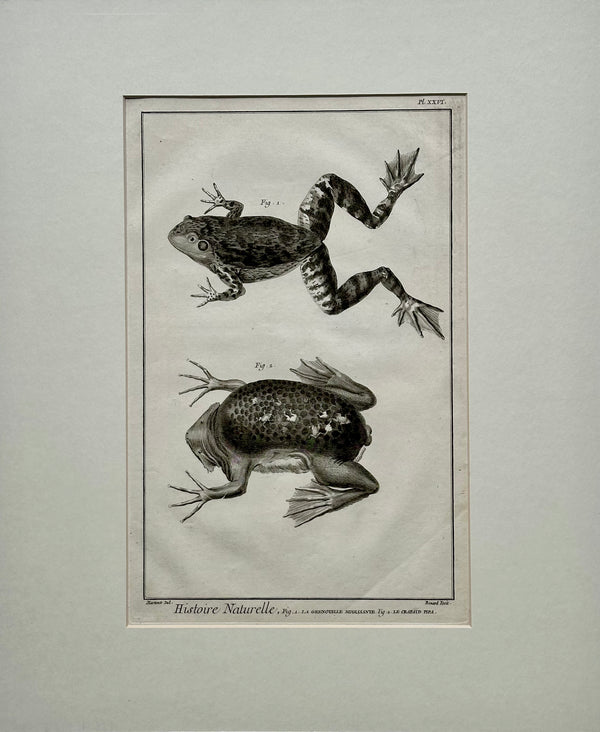
American Bullfrog, Original Engraving by Buffon, 1775
$450
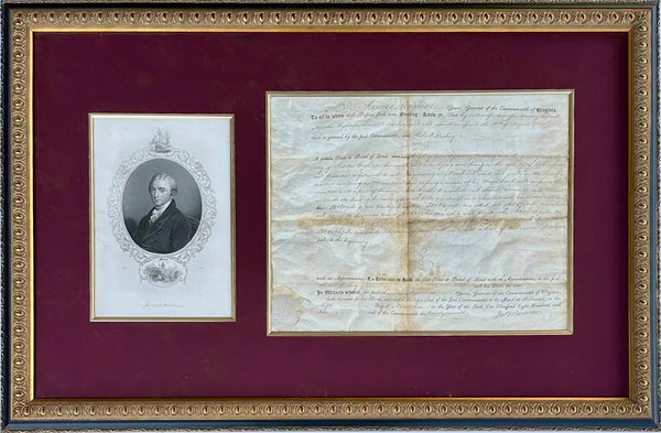
View Piece
Print
James Monroe Signed Virginia Governor Land Grant Document Autograph, c.1800 — Rockingham County
$1,100

View Piece
Print
Hawk Moths Original Engraving by Dru Drury, 1837
$85

View Piece
Print
Santa Claus Original Engraving, 1870
$225

View Piece
Print
Great Bustard by George Edwards, 1740
$375
SOLD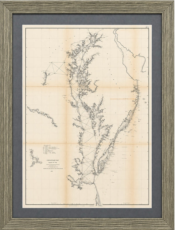
View Piece
Map
1856 U.S. Coast Survey Map of Chesapeake Bay & Delaware Bay – A.D. Bache Antique Nautical Chart
SOLD
View Piece
Map
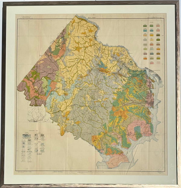
Virginia: Fairfax & Alexandria Counties Map, 1915 (Framed)
$925
SOLD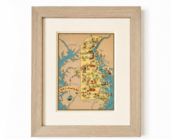
View Piece
Map
Vintage Delaware Pictorial Map by Taylor, 1935 – Original Custom Framed Map
SOLD
SOLD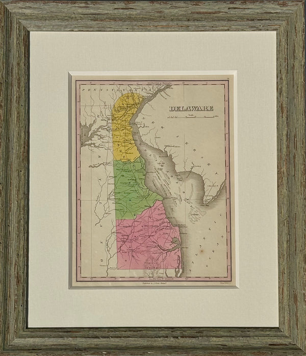
View Piece
Map
Map of Delaware by Anthony Finley, 1824 (framed)
SOLD
SOLD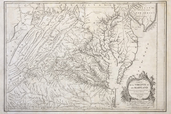
View Piece
Map
1755 Fry & Jefferson Map of Virginia and Maryland — “Carte de la Virginie et du Maryland” (Thomas Jefferson’s Father as Surveyor)
SOLD
SOLD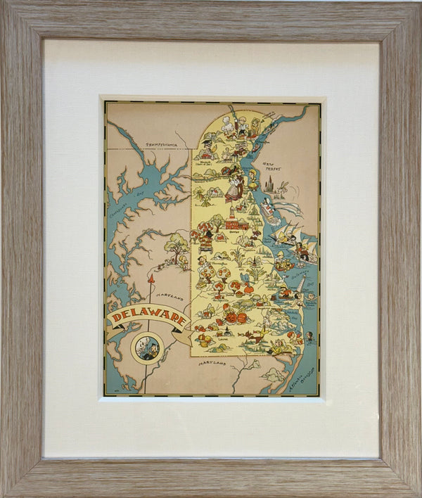
View Piece
Map
Vintage Delaware Map, 1935, framed
SOLD
View Piece
Map
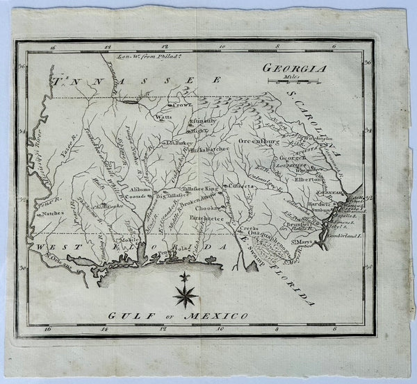
Map of Georgia & West Florida by Joseph Scott, 1795
$325
View Piece
Map
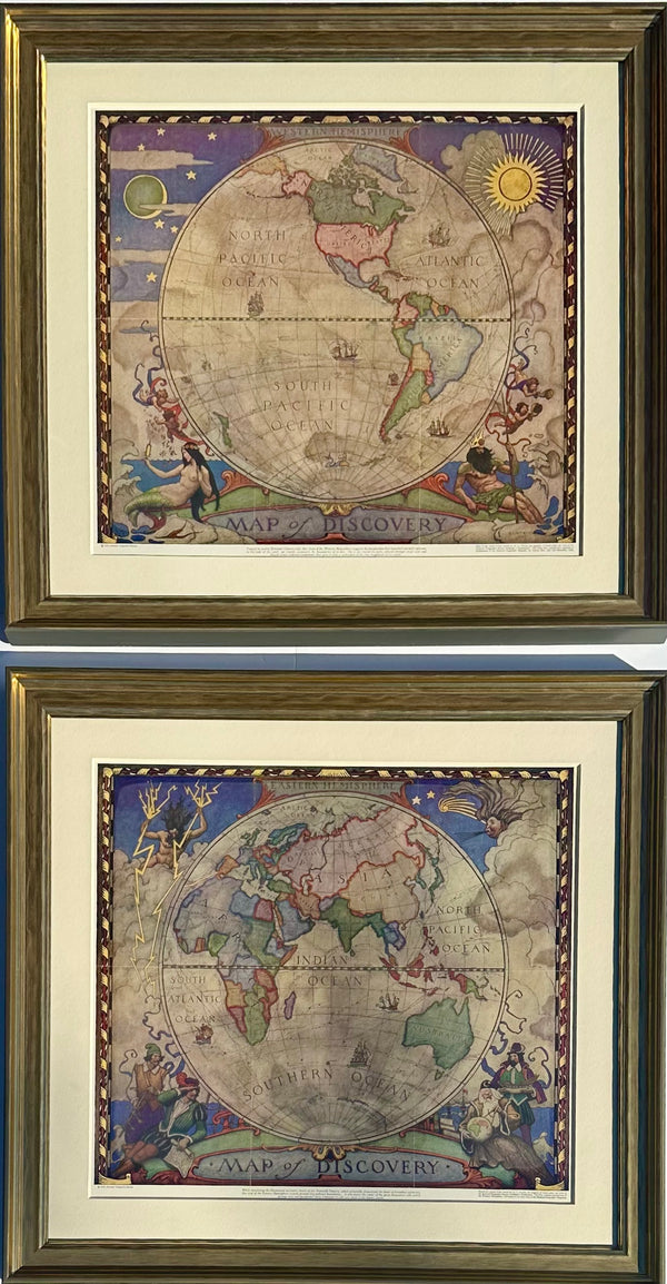
Map of Discovery, Nc Wyeth, 1928 (Set of 2, Framed)
$1,800
SOLD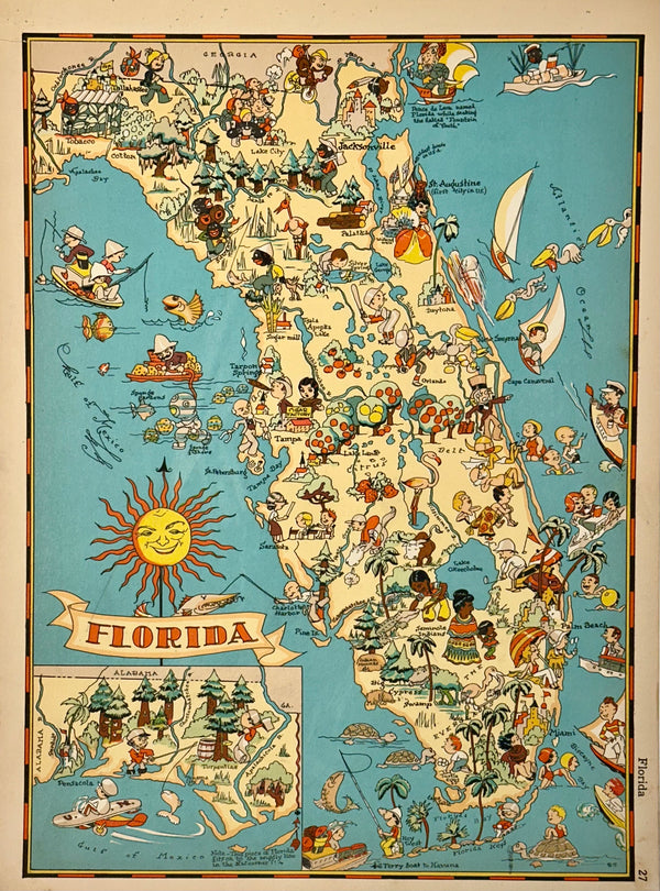
View Piece
Map
Vintage Map of Florida, 1935
SOLD
SOLD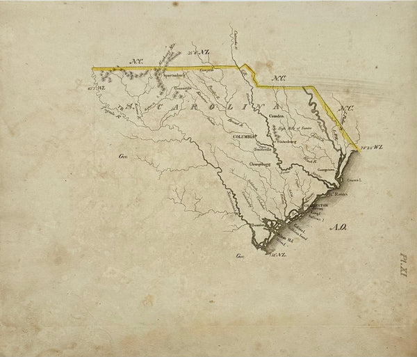
View Piece
Map
South Carolina Map by Luke Drury, 1822
SOLD
SOLD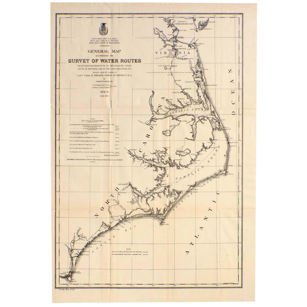
View Piece
Map
Mid Atlantic Survey Chart (Norfolk, Hatteras & Cape Fear), 1878
SOLD