279 results for “map”
SOLD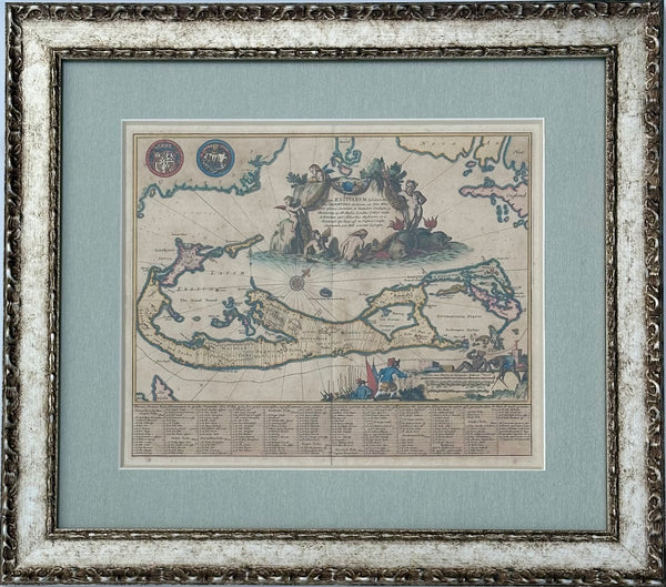
View Piece
Map
1671 Map of Bermuda by John Ogilby, Framed
SOLD
SOLD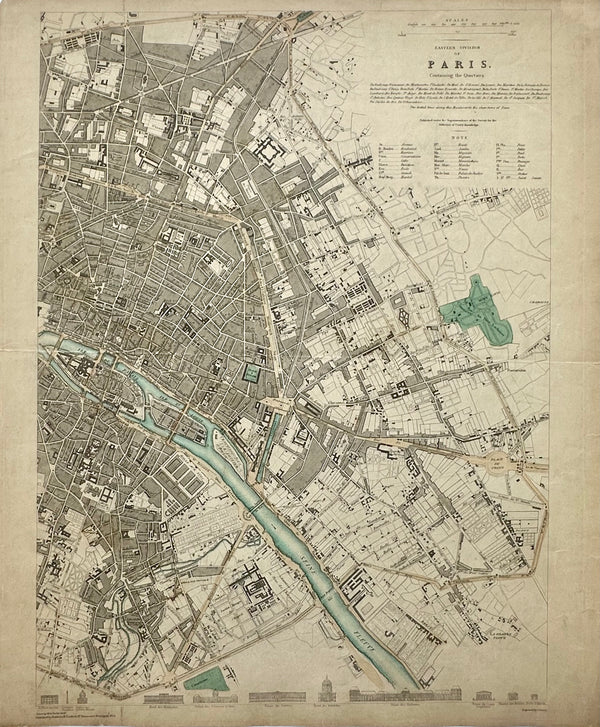
View Piece
Map
Paris, Eastern Division, Original Map, circa 1834
SOLD
SOLD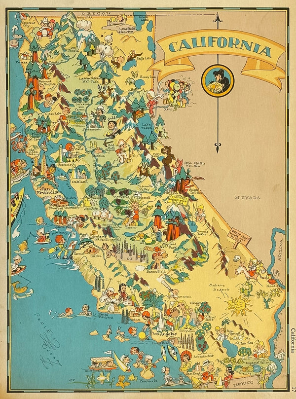
View Piece
Map
Vintage Map of California, 1935
SOLD
SOLD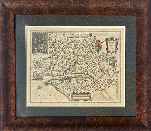
View Piece
Map
Virginia & Chesapeake Bay Map from Capt. John Smith By Willem Blaeu, 1618
SOLD
SOLD

View Piece
Map
Texas with Galveston Bay, Original Map by Samuel Mitchell, 1867
SOLD
SOLD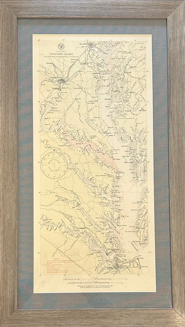
View Piece
Map
Baltimore, Washington, Norfolk Aviation Chart of Chesapeake, 1925 (Framed)
SOLD
View Piece
Map
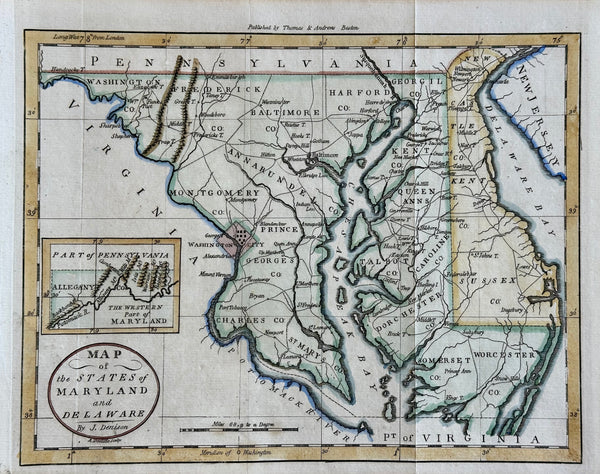
Maryland & Delaware Map by Morse, circa 1796
$525
SOLD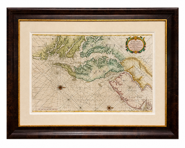
View Piece
Map
1773 Chesapeake & Delaware Bay Sea Chart Map – Revolutionary War Era by Mount & Page (Second State)
SOLD
SOLD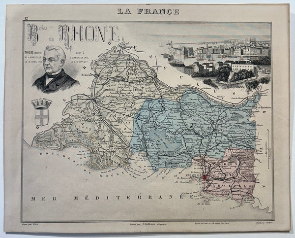
View Piece
Map
1883 Bouches-Du-Rhone, France
SOLD
SOLD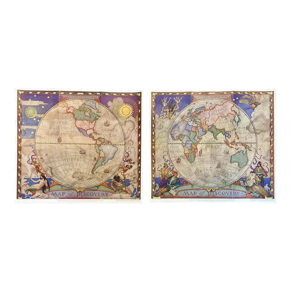
View Piece
Map
Set of 2 Map of Discovery, NC Wyeth, 1928
SOLD
SOLD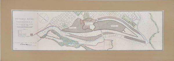
View Piece
Map
Potomac River, Original Coastal Chart, 1885
SOLD
View Piece
Map
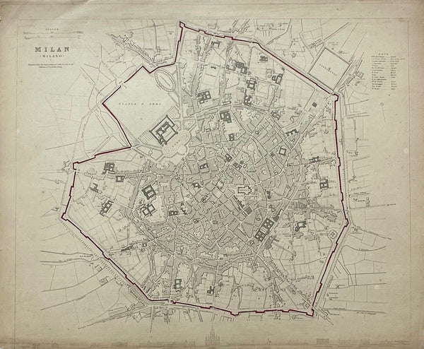
Milan Italy, Original Map, 1834
$125
SOLD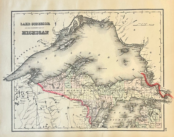
View Piece
Map
Michigan & Lake Superior Original Engraving by Samuel Mitchell, 1863
SOLD
View Piece
Map
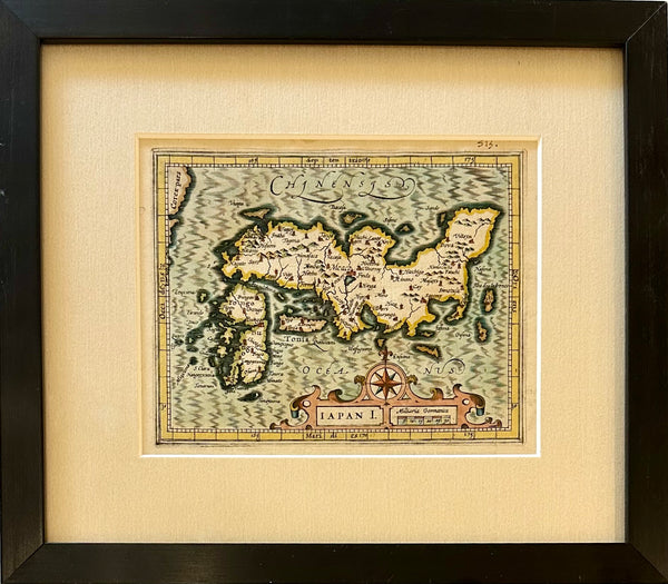
Map of Japan by Hondius, 1607 (framed)
$625
SOLD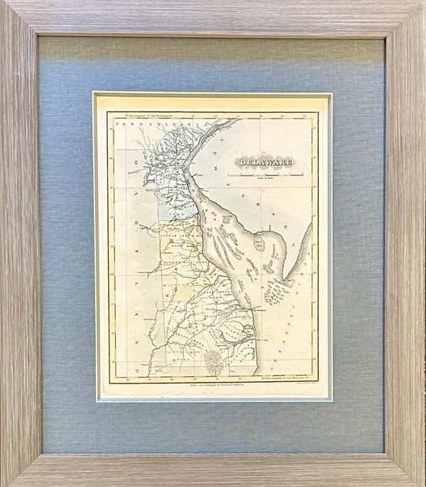
View Piece
Map
Delaware by Fielding Lucas, 1823
SOLD
SOLD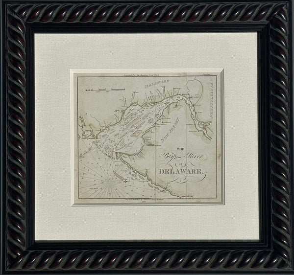
View Piece
Map
Coastal Chart: Bay & River of Delaware by Edmund Blunt, 1833 (framed)
SOLD
SOLD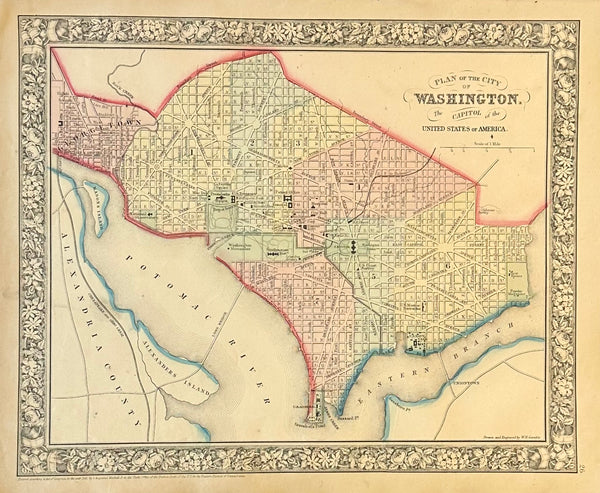
View Piece
Map
Washington DC by Augustus Mitchell, 1860
SOLD
SOLD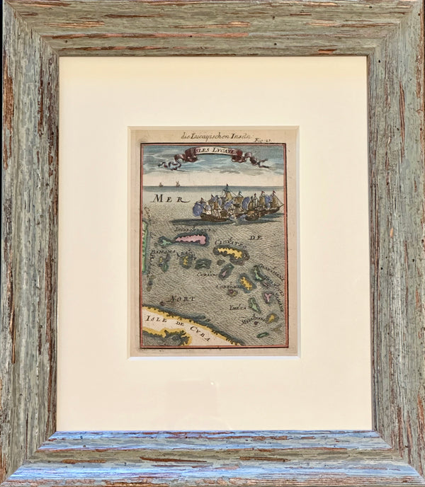
View Piece
Map
Bahamas Caribbean Coastal Chart by Mallet, 1684 (Framed)
SOLD
SOLD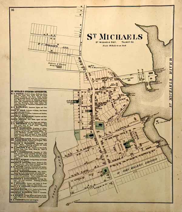
View Piece
Map
St. Michaels, Talbot County Maryland Original map, 1877
SOLD
SOLD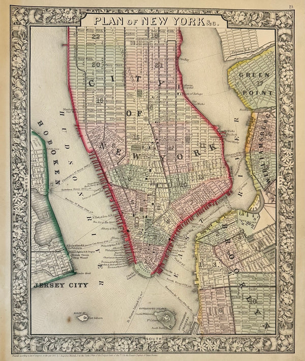
View Piece
Map
New York City by Samuel Mitchell, 1863
SOLD
SOLD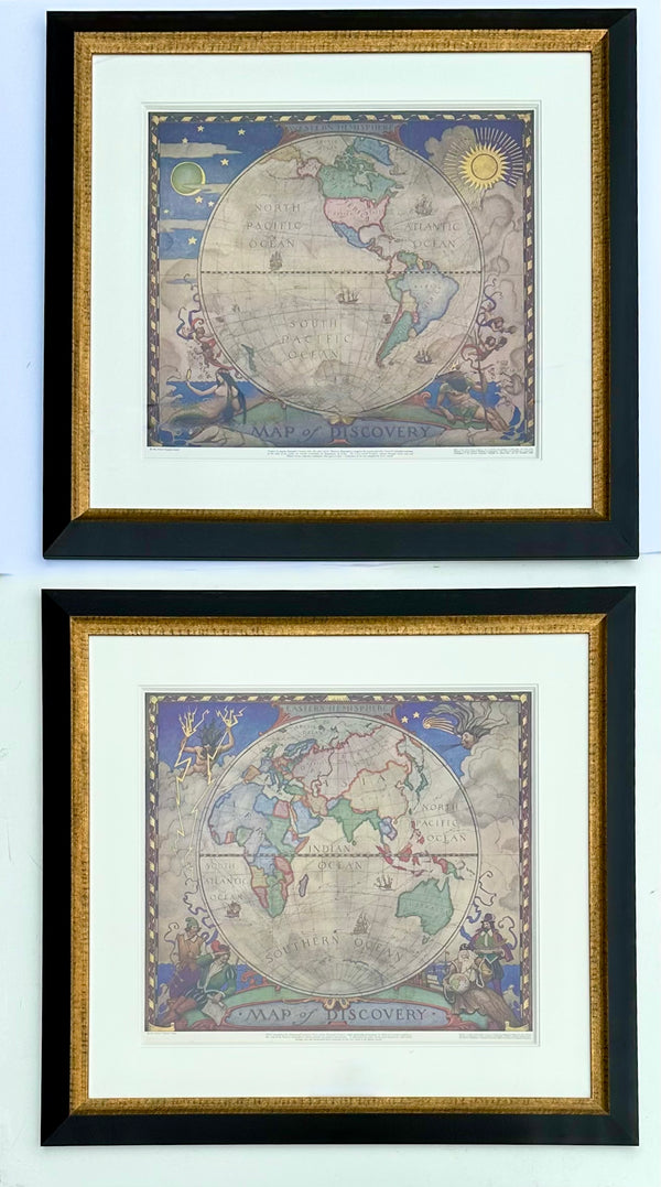
View Piece
Print
Maps of the World, N.C. Wyeth. Lithograph, 1928 (Pair)
SOLD
SOLD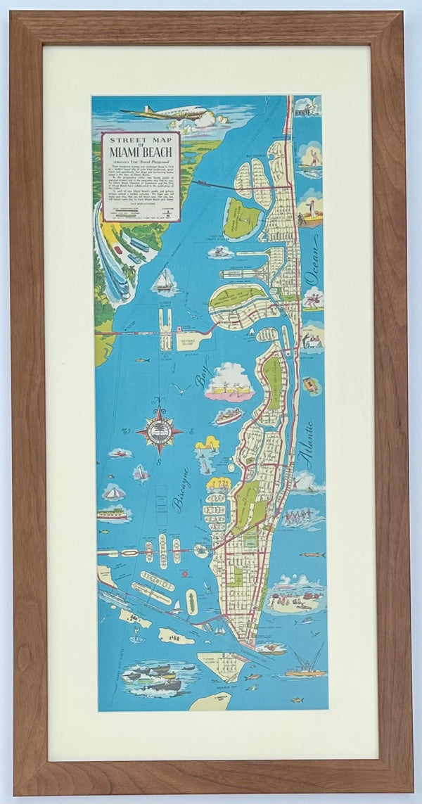
View Piece
Print
1951 Miami Beach Pictorial Map, Framed
SOLD
SOLD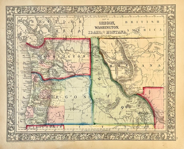
View Piece
Map
Oregon, Washington, Idaho & Montana Original Engraving by Samuel Mitchell, 1863
SOLD
SOLD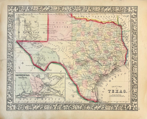
View Piece
Map
Texas & Galveston Bay Original Engraving by Samuel Mitchell, 1863
SOLD