
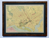
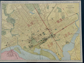
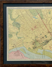
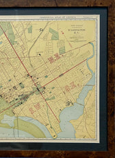
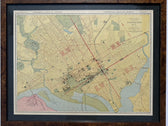
Map
Washington, DC by McNally, 1897
$465
Guaranteed Authentic Original
Original engraving from the Commercial Atlas of America by Rand McNally, 1897. Map depicts Washington during a period of transition following the civil war. Shows major buildings, parks and the layout of the city including streetcar lines extending into the suburbs. Custom framed with UV-resistant glass. Dimensions: 31 x 24.5"
- TypeMap
- AuthenticityDocumented · guaranteed genuine
★Framed by hand in our Ocean View studio — backed by Brandon's 25+ years of custom framing.
● Free delivery throughout coastal Delaware
● In-home hanging available
You May Also Like
— From the Collection —
View Piece
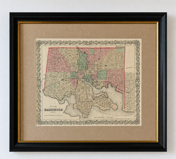
Map
Antique Baltimore, Maryland City Map | Hand-Colored Engraving | Custom Framed
$525
View Piece
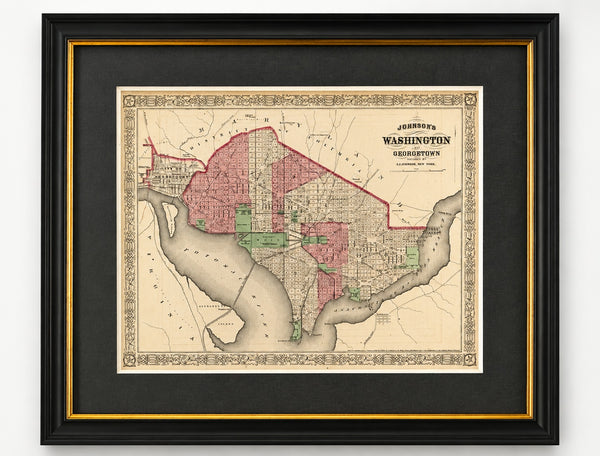
Map
Washington, D.C. & Georgetown Map by A.J. Johnson, Circa 1868, Custom Framed
$550
View Piece
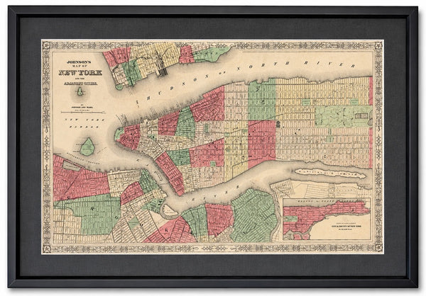
Map
New York City Map by Johnson, Framed (Circa 1864)
$600
View Piece
Map
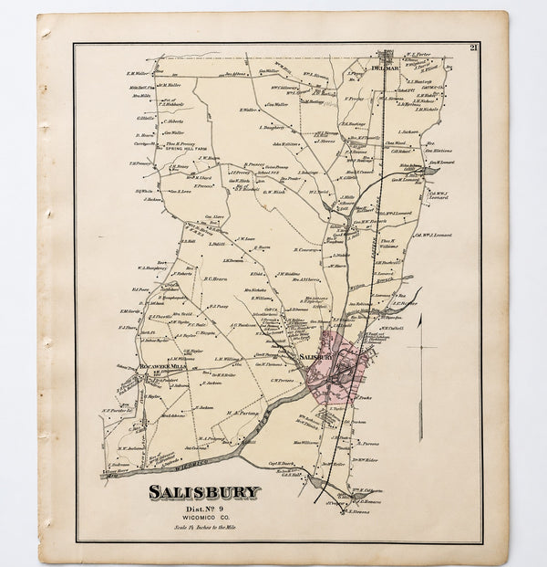
Salisbury, Maryland & Rocawakin Mills, 1877
$150