

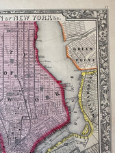
Map
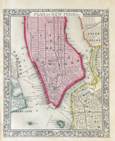
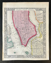
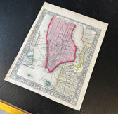
New York Map | Manhattan & Boroughs | Original engraving by Mitchell, 1863
$225
Guaranteed Authentic Original
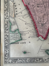
Original hand-colored antique map of New York City, published in 1863 by Samuel Augustus Mitchell from Mitchell’s New General Atlas. This detailed map depicts Manhattan alongside Green Point, Williamsburg, Brooklyn, Hoboken, and Jersey City. Fine street grids, ferry routes, waterfront piers, parks, and rail lines capture the city during the Civil War era, while Governors Island and Ellis Island appear...
- TypeMap
- AuthenticityDocumented · guaranteed genuine
★Framed by hand in our Ocean View studio — backed by Brandon's 25+ years of custom framing.
● Free delivery throughout coastal Delaware
● In-home hanging available
You May Also Like
— From the Collection —
View Piece
Print
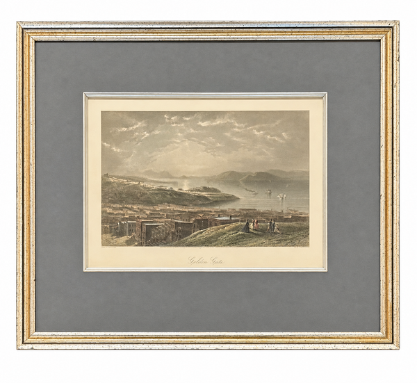
Golden Gate San Francisco, 1872 | Hand-Colored Steel Engraving | Custom Framed
$275
View Piece
Map
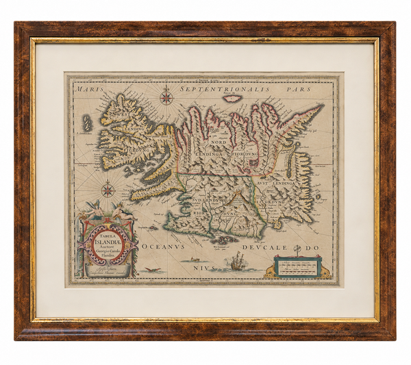
Historic Map of Iceland & North Atlantic – Tabula Islandia | by Willem Blaeu, 1629 | Custom Framed
$750
View Piece
Map
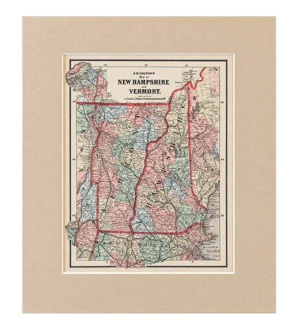
New Hampshire & Vermont | Original Hand-Colored Map by J.H. Colton, 1855
$150
View Piece
Map
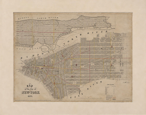
1853 Antique Map of New York City – George Hayward, Valentine's Manual | Original Manhattan Map
$400