-
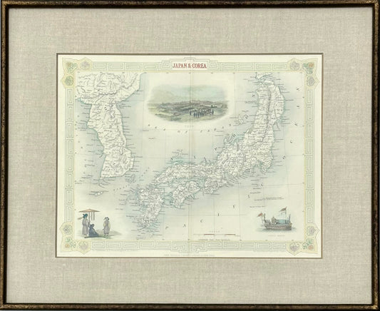
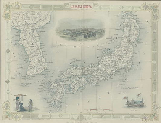
Japan & Korea by Tallis, 1851
Regular price $225.00 USDRegular priceUnit price per -
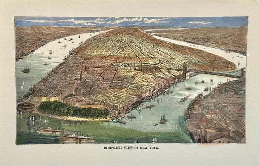
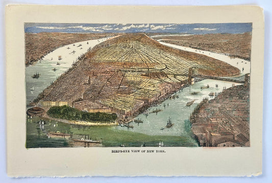
New York City Birds Eye view, circa 1890
Regular price $95.00 USDRegular priceUnit price per -
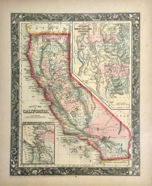
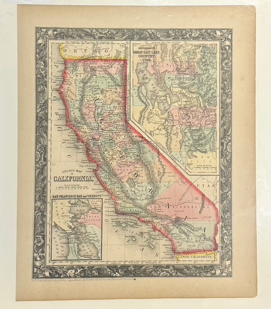
California by Mitchell, 1860
Regular price $175.00 USDRegular priceUnit price per -
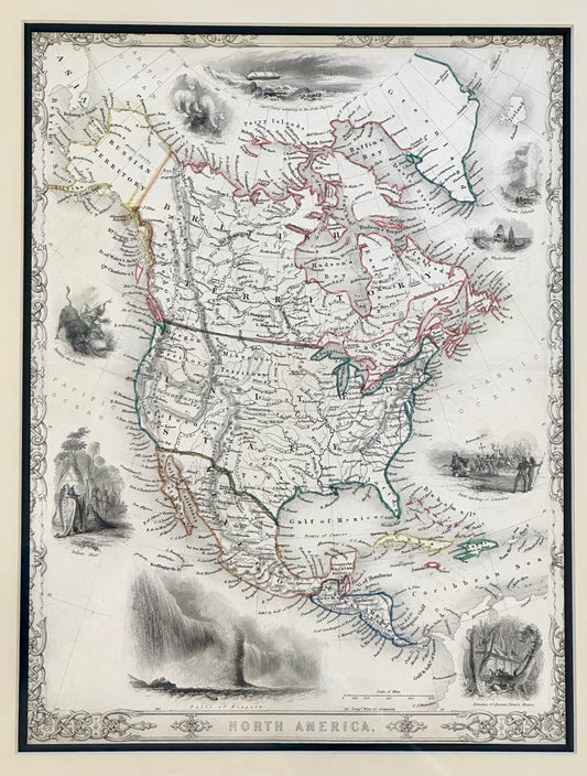
North America Map by Tallis, 1851
Regular price $375.00 USDRegular priceUnit price per -
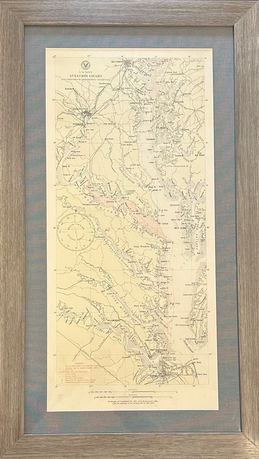
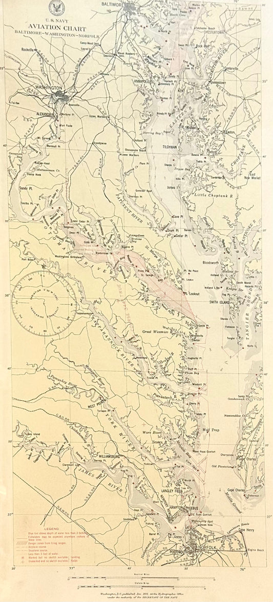
Baltimore, Washington, Norfolk Aviation Chart of Chesapeake, 1925 (Framed)
Regular price $425.00 USDRegular priceUnit price per -
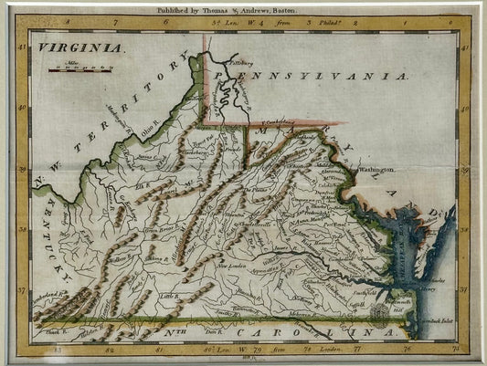
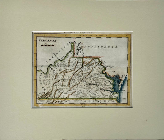
Viriginia from Morse’s Universal Geography, 1796
Regular price $425.00 USDRegular priceUnit price per -
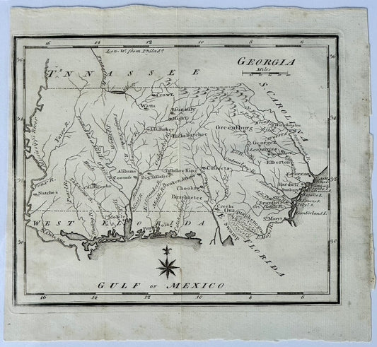
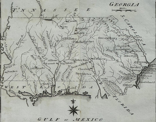
Map of Georgia & West Florida by Joseph Scott, 1795
Regular price $325.00 USDRegular priceUnit price per -
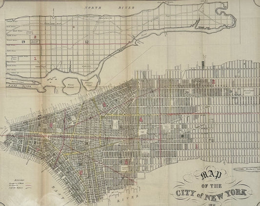
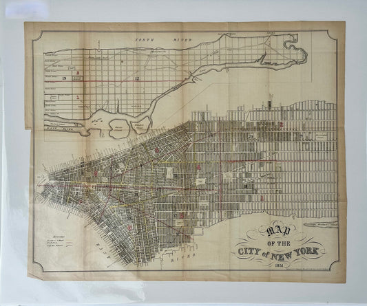
New York City Lithograph, 1851 – Original from Valentine’s Manual (21 × 17¼ in.)
Regular price $395.00 USDRegular priceUnit price per -
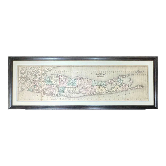
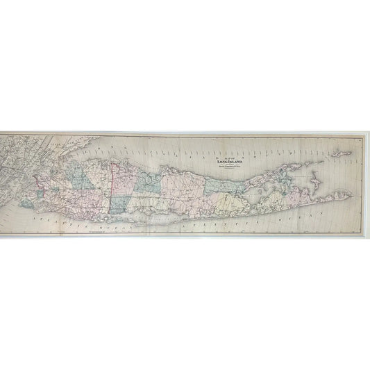
Map of Long Island from Beer's Atlas, 1873 (Framed)
Regular price $2,850.00 USDRegular priceUnit price per -
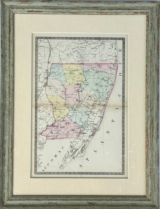
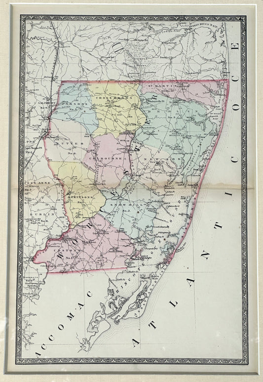
Map of Worcester County, Maryland (Berlin, Assateague, Isle of Wight), 1873
Regular price $550.00 USDRegular priceUnit price per -
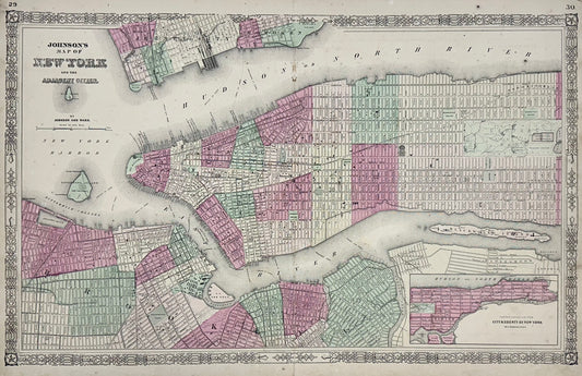
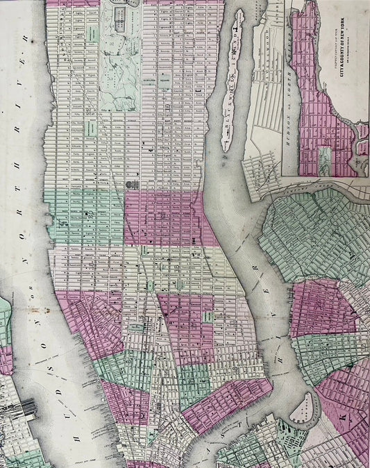
New York City Map by Johnson, 1864
Regular price $675.00 USDRegular priceUnit price per -
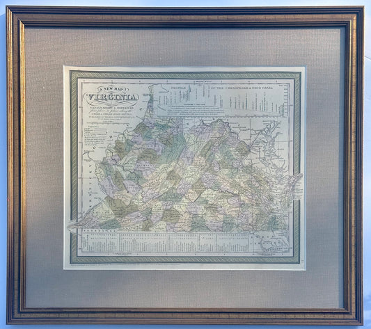
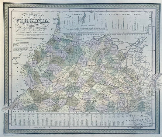
Map of Virginia by Cowperthwait, 1851
Regular price $525.00 USDRegular priceUnit price per