Crimean Map (Sebastopol Harbor) by DeSilver, 1856

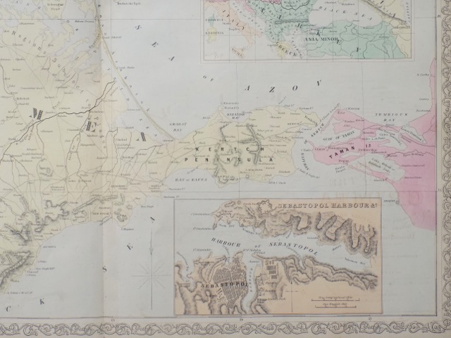
Title: Crimean Map (Sebastopol Harbor)
Date: 1856
Author / Map-Maker / Publisher: Charles DeSilver
Notes: The Crimean Peninsula is depicted during the Crimean War. This highly detailed map notes military and carriage roads throughout with distances. Towns, fortifications, lighthouses, postal stations, as well as topography are shown. Features inset in the top right quadrant features the relative position of Crimea with the seat of war. Another inset in the lower right quadrant features the Sebastopol Harbor.
Dimensions: 18 x 26 inches
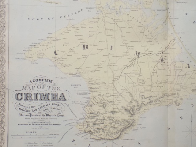
Similar Items
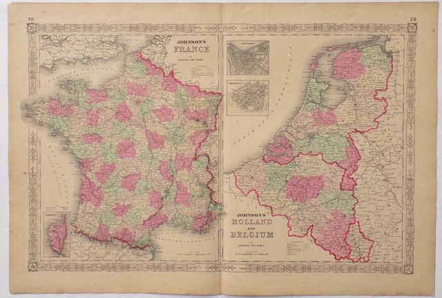
France, Holland & Belgium, 1862
Published by Johnson and Ward

Paris Stock Exchange, La Bourse, 1825
By Couché after C. Civeton, 1825
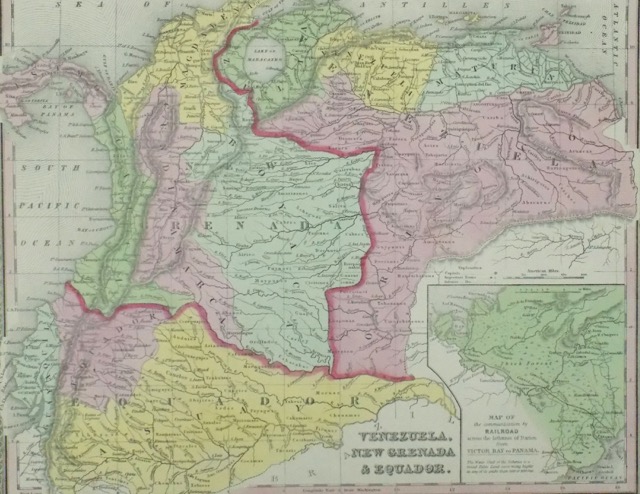
Vennezula, New Grenada, Equador
From the New Universal Atlas. Published by Thomas Cowperthwait & Co., 1850
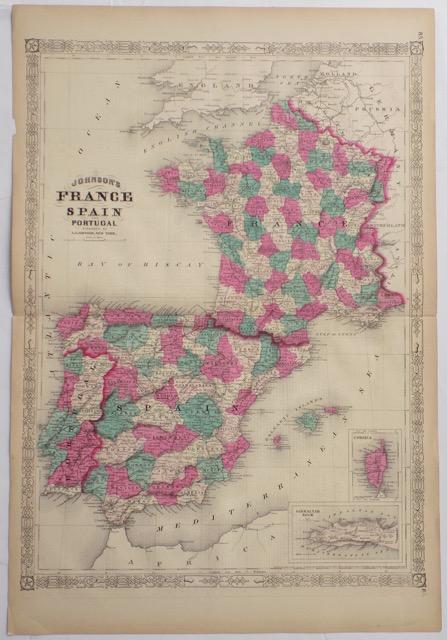
France & Spain, 1862
Published by Charles DeSilver