France, Holland & Belgium, 1862
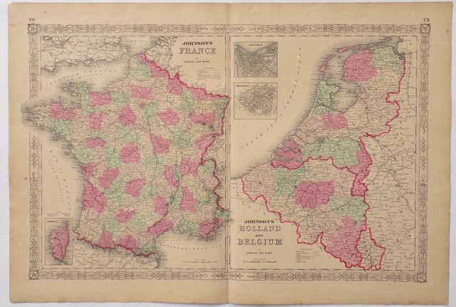
Title: France, Holland & Belgium
Date: 1862
Author / Map-Maker / Publisher: Johnson and Ward
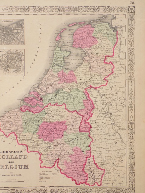
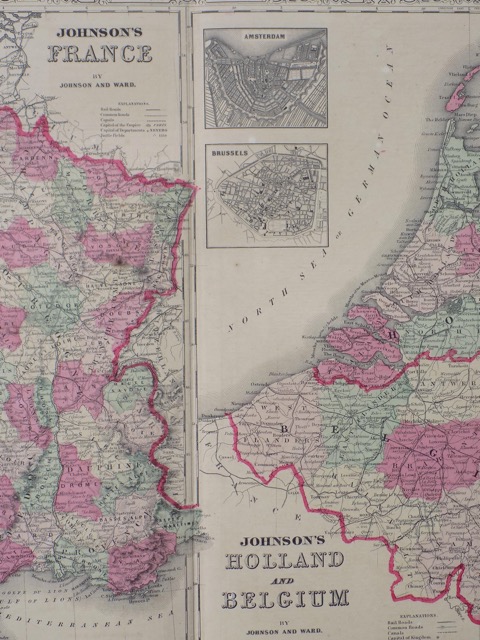
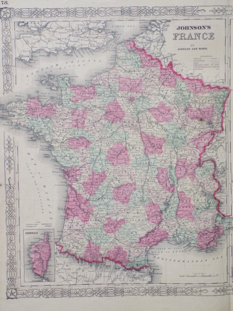
Notes: Divided into two separate maps. The left hand map focuses on France and is color coded according to department, includes inset map in the lower left depicts the island of Corsica. The right hand map focuses on Holland and Belgium. In the upper left hand section there are inset maps of Amsterdam and Brussels.
Dimensions: 18 x 26 inches
Date: 1862
Author / Map-Maker / Publisher: Johnson and Ward
Notes: Divided into two separate maps. The left hand map focuses on France and is color coded according to department, includes inset map in the lower left depicts the island of Corsica. The right hand map focuses on Holland and Belgium. In the upper left hand section there are inset maps of Amsterdam and Brussels.
Dimensions: 18 x 26 inches
Similar Items

Italy
From the New Universal Atlas. Published by Thomas Cowperthwait & Co., 1850
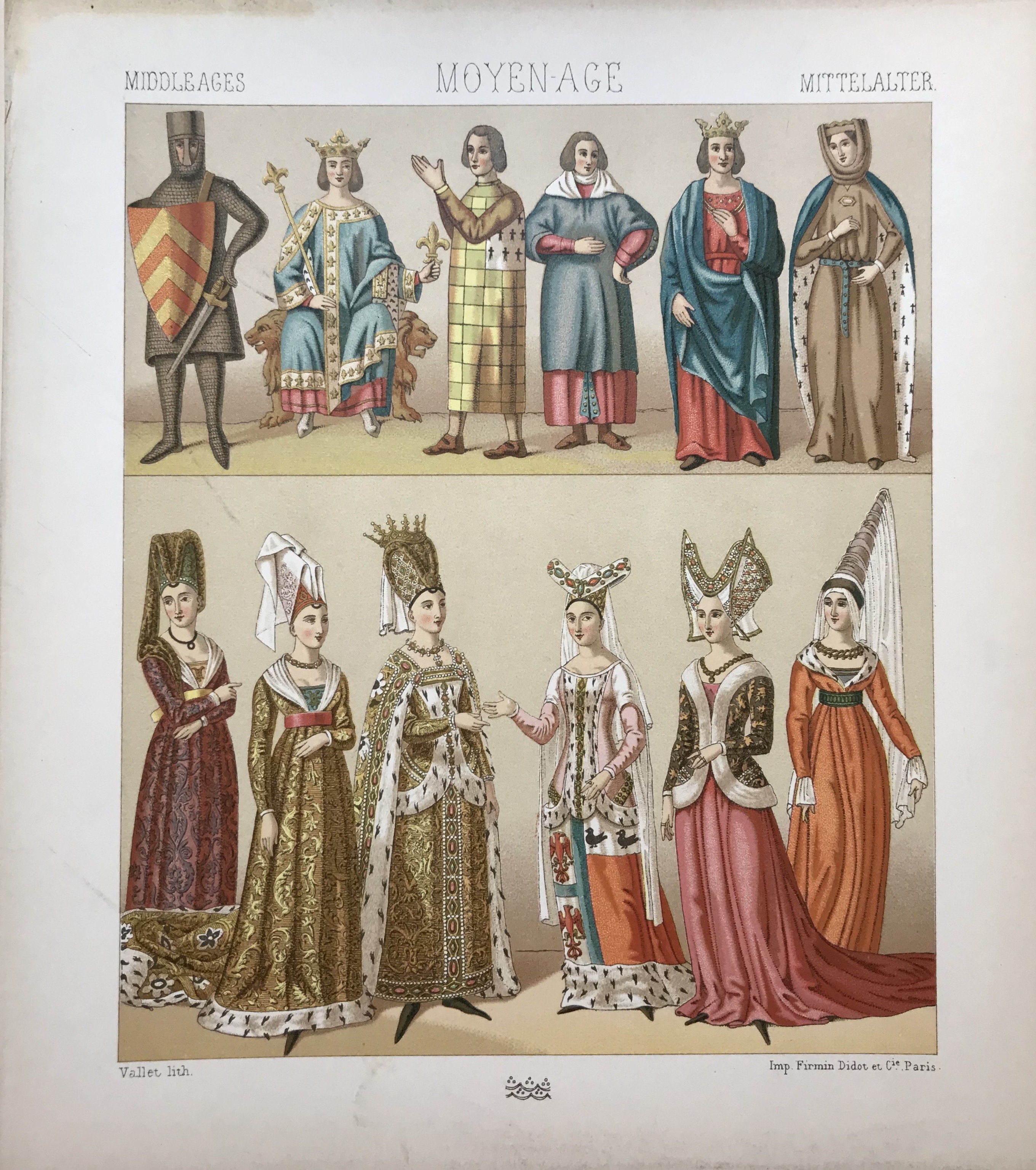
Middle Ages, Historic Costumes
Chromolithograph by A. Racinet, c. 1880

Europe
From the New Universal Atlas. Published by Thomas Cowperthwait & Co., 1850
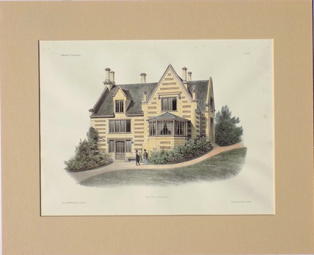
Home of an Englishwoman
From "Habitations Champêtres" by the Becquet Brothers, circa 1860