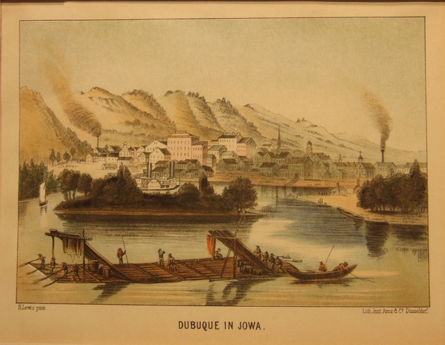
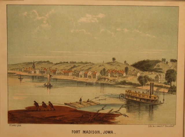
Muscadine, IA
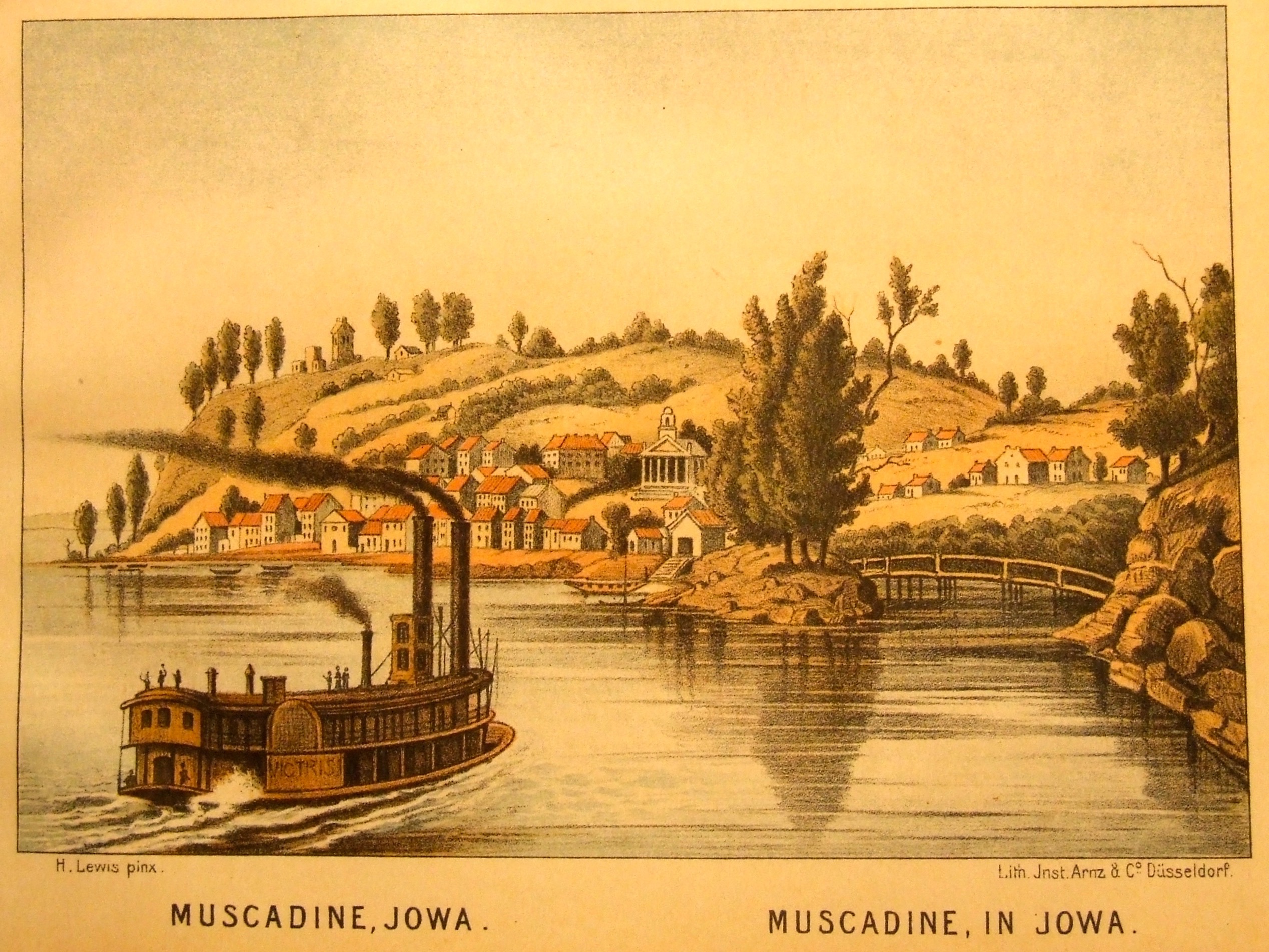
Title: Muscadin, IA
Date: 1855
Author / Map-Maker / Publisher: Printed by C. H. Muller. Aachen
Notes: From DAS ILLUSTRIERTE MISSISSIPPITHAL (The Valley of the Mississippi Illustrated).
In the late 1840's Henry Lewis traveled the length of the Mississippi and with the assistance of other artists, assembled a collection of sketches detailing scenery of the entire river. Based on these drawings, Lewis proceeded to paint a panorama on a continuous length of canvas which would be moved and viewed through a frame.
In the fall of 1848, the completed piece (hundreds and hundreds of feet in length), began its tour of American cities. A European tour followed and while in Dusseldorf, in 1853, Lewis teamed up with the publisher Heinrich Arnz to redo the sketches as lithographs illustrating a book on Mississippi scenery. While production was sporadic and relatively unprofitable, the resulting seventy-eight lithographs provide a early and remarkably complete record of the Mississippi River. The Red River joins the Mississippi near Simmesport, Louisiana.
Dimensions: 5.5 x 8 inches